Waverly in Union County, Kentucky — The American South (East South Central)
St. Vincent's Academy
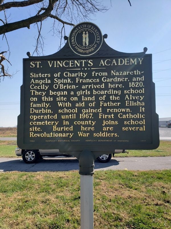
Photographed by Jerry Padgett, June 11, 2020
1. St. Vincent's Academy Marker
Erected 1982 by Kentucky Historical Society and Kentucky Department of Highways. (Marker Number 1717.)
Topics and series. This historical marker is listed in these topic lists: Cemeteries & Burial Sites • Education • Religion & Religious Structures • Women. In addition, it is included in the Kentucky Historical Society series list.
Location. 37° 42.117′ N, 87° 50.183′ W. Marker is in Waverly, Kentucky, in Union County. It is at the intersection of U.S. 60 and 141S (U.S. 60), in the median on U.S. 60. Touch for map. Marker is in this post office area: Waverly KY 42462, United States of America. Touch for directions.

Regionally, this marker is in the Tri-State Region and in the Western
this page online
Other nearby markers. At least 8 other markers are within 5 miles of this marker, measured as the crow flies: Laurelwood (approx. 1.4 miles away); Camp Breckinridge (approx. 2.4 miles away); Baseball Great (approx. 2.4 miles away); Earle C. Clements (approx. 4.4 miles away); George Huston (approx. 4.4 miles away); Nally Spa (approx. 4.4 miles away); Morgan Springs (approx. 4½ miles away); Lincoln Spoke Here (approx. 4.6 miles away).
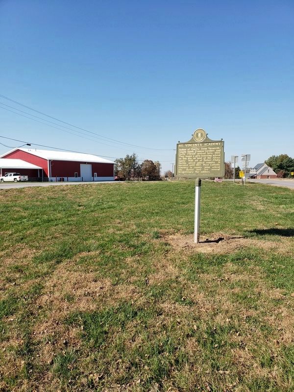
Photographed by Jerry Padgett, November 6, 2020
2. St. Vincent's Academy Marker
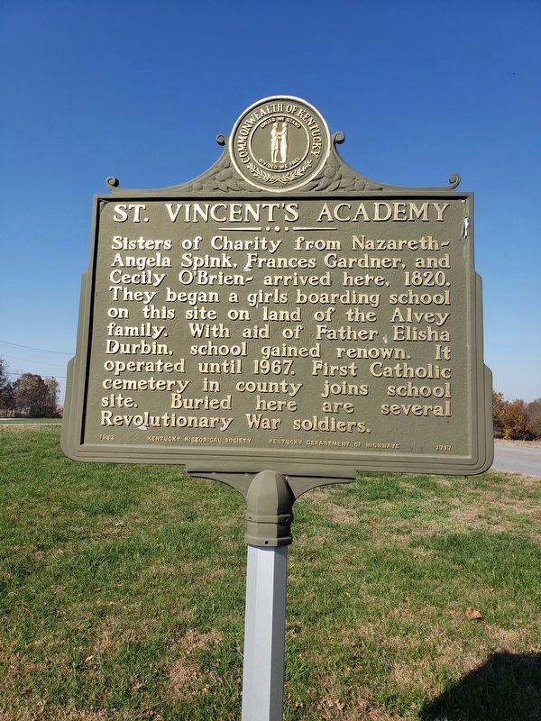
Photographed by Jerry Padgett, November 6, 2020
3. St. Vincent's Academy Marker reverse
The marker has the same text on both sides.
Credits. This page was last revised on November 7, 2020. It was originally submitted on November 6, 2020, by Jerry Padgett of Morganfield, Kentucky. This page has been viewed 1,252 times since then and 53 times this year. Photos: 1, 2, 3. submitted on November 6, 2020, by Jerry Padgett of Morganfield, Kentucky. • J. Makali Bruton was the editor who published this page.
