Near Frederick in Frederick County, Maryland — The American Northeast (Mid-Atlantic)
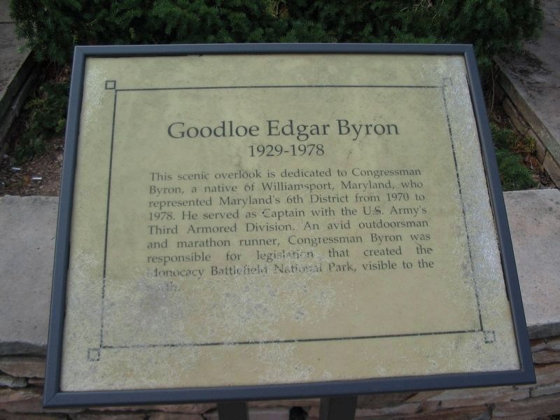
Goodloe Edgar Byron
1929 - 1978
Topics. This historical marker is listed in these topic lists: Government & Politics • Parks & Recreational Areas • War, US Civil. A significant historical year for this entry is 1970.
Location. Marker has been permanently removed. It was located near 39° 20.969′ N, 77° 23.384′ W. Marker was near Frederick, Maryland, in Frederick County. Marker could be reached from Washington National Pike (Interstate 270) 3.6 miles south of Buckeystown Pike (Maryland Route 85), on the right when traveling north. Touch for map. Marker was in this post office area: Frederick MD 21704, United States of America.
We have been informed that this sign or monument is no longer there and will not be replaced. This page is an archival view of what was.
Other nearby markers. At least 8 other markers are within walking distance of this location. Clustered Spires of Frederick (a few steps from this marker); History of the Monocacy River Valley (a few steps from this marker); The Battle That Saved Washington (a few steps from this marker); Civilians Under Siege (approx. half a mile away); Final Attack (approx. half a mile away); 10th Vermont Monument (approx. ¾ mile away); State of Pennsylvania Monument (approx. 0.8 miles away); Final Stand (approx. 0.8 miles away). Touch for a list and map of all markers in Frederick.
Credits. This page was last revised on November 6, 2020. It was originally submitted on November 6, 2020, by Craig Swain of Leesburg, Virginia. This page has been viewed 104 times since then and 12 times this year. Photos: 1, 2. submitted on November 4, 2007, by Craig Swain of Leesburg, Virginia. • Devry Becker Jones was the editor who published this page.

