Near Berkeley Springs in Morgan County, West Virginia — The American South (Appalachia)
Cacapon State Park
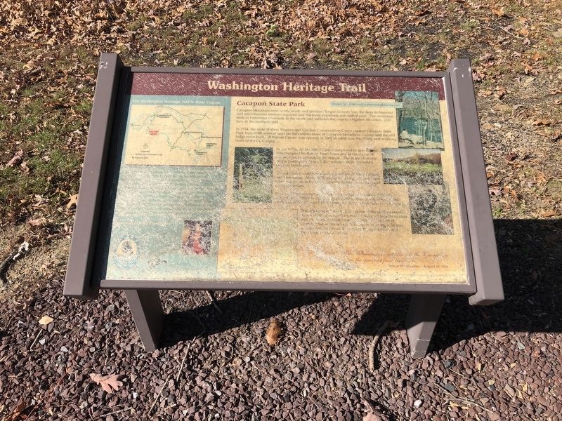
Washington Heritage Trail
Insider tip — the word is pronounced Ca-cay-pun.
Cacapon Mountain runs north/south and divides Morgan County into the heavily forested mountainous western segment and the more populous and settled east. The mountain ends at Panorama Overlook in the north and includes the county's highest elevation, 2320 feet, at the southern end.
In 1934, the state of West Virginia nad Civilian Conservation Corps created Cacapon State Park from 6000 acres of land on the eastern slope of Cacapon Mountain. Cabins and the old lodge were built. A Nature Center was opened in 2002 in what was the living and working heart of the CCC camp.
In the 1970s, an 18-hole, 72-par championship golf course was designed by Robert Trem Jones and is rated one of the best public courses in the region. The stone chimney on the putting green is all that remains from the land's original farmhouse.
The lake has a sand beach and is good for fishing, boating and swimming.
[The remainder of the marker is illegible.]
Topics and series. This historical marker is listed in these topic lists: Charity & Public Work • Parks & Recreational Areas
this page online
Location. 39° 30.029′ N, 78° 18.101′ W. Marker has been reported unreadable. Marker is near Berkeley Springs, West Virginia, in Morgan County. It is at the intersection of Middle Fork Road and Picnic Circle, on the left when traveling west on Middle Fork Road. Touch for map. Marker is in this post office area: Berkeley Springs WV 25411, United States of America. Touch for directions.

Regionally, this marker is in the Eastern Panhandle. It is also in the American South, specifically in the Upper South, in Appalachia, and specifically in Northern Appalachia. Globally, it is in North America, the Western Hemisphere, the Western World, and the Anglosphere. Historically, it finds itself in what was once the territory of the Mississippian Culture.
Other nearby markers. At least 8 other markers are within 4 miles of this location, measured as the crow flies: Cacapon State Park Playground Equipment (about 800 feet
Credits. This page was last revised on September 23, 2021. It was originally submitted on November 7, 2020, by Devry Becker Jones of Washington, District of Columbia. This page has been viewed 591 times since then and 39 times this year. Photos: 1, 2. submitted on November 7, 2020, by Devry Becker Jones of Washington, District of Columbia.
