Gainesboro in Frederick County, Virginia — The American South (Mid-Atlantic)
Gainesboro
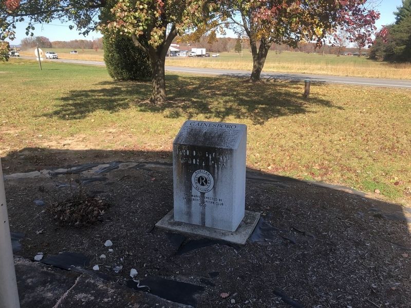
Harold H. Bageant Memorial Park
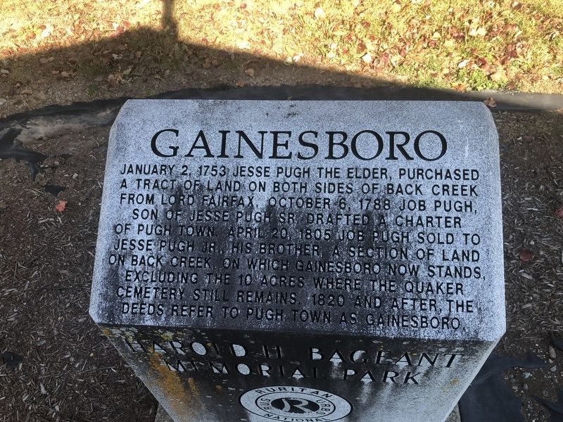
Erected 2005 by Gainesboro Ruratan Club.
Topics. This historical marker is listed in these topic lists: Cemeteries & Burial Sites • Colonial Era • Religion & Religious Structures • Settlements & Settlers. A significant historical date for this entry is January 2, 1753.
Location. 39° 16.424′ N, 78° 15.121′ W. Marker is in Gainesboro, Virginia, in Frederick County. It is on Gainesboro Road (Virginia Route 684) just west of North Frederick Pike (U.S. 522), on the right when traveling west. Touch for map. Marker is at or near this postal address: 128 Gainesboro Rd, Winchester VA 22603, United States of America. Touch for directions.

Regionally, this marker is in Virginia’s Shenandoah
this page online
Other nearby markers. At least 8 other markers are within 7 miles of this marker, measured as the crow flies: The Stonewall Brigade at Pughtown (within shouting distance of this marker); Willow Shade (approx. 3.1 miles away); Jeremiah Smith Family Cemetery (approx. 3.4 miles away); Willa Cather Birthplace (approx. 3.9 miles away); Second Battle of Winchester (approx. 5.2 miles away); Old Stone Church at Greenspring (approx. 5.2 miles away); a different marker also named Second Battle of Winchester (approx. 6 miles away); Lord Fairfax (approx. 6½ miles away).
Another marker is no longer nearby. Second Battle of Winchester (was approx. 5.2 miles away but has been replaced with another marker now near it).
Credits. This page was last revised on November 7, 2020. It was originally submitted on November 7, 2020, by Devry Becker Jones of Washington, District of Columbia. This page has been viewed 894 times since then and 55 times this year. Photos: 1, 2. submitted on November 7, 2020, by Devry Becker Jones of Washington, District of Columbia.
