Near Daggett in San Bernardino County, California — The American West (Pacific Coastal)
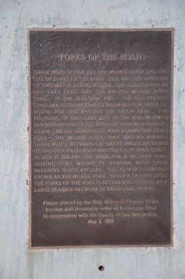
Forks of the Road
Photographed by Michael Kindig, November 28, 2010
1. Forks of the Road Marker
Erected 1999 by Billy Holcomb Chapter No. 1069, E Clampus Vitus in cooperation with the County of San Bernardino. (Marker Number 98.)
Topics and series. This historical marker is listed in these topic lists: Exploration • Indigenous Peoples and Communities • Roads & Vehicles • Settlements & Settlers. In addition, it is included in the E Clampus Vitus, the Mojave Road (Old Government Road), and the Old Spanish National Trail series lists. A significant historical year for this entry is 1847.
Location. 34° 50.677′ N, 116° 46.108′ W. Marker is near Daggett, California, in San Bernardino County. It is on National Trails Highway west of Minneola Road, on the right when traveling west. Marker is approximately 100 feet northwest of the intersection, south of the railroad tracks. Touch for map. Marker is at or near this postal address: 40898 National Trails Highway, Daggett CA 92327, United States of America. Touch for directions.

Regionally,
this page online
Other nearby markers. At least 8 other markers are within 7 miles of this marker, measured as the crow flies: Newberry Springs (approx. 4.8 miles away); Original Del Taco (approx. 5.1 miles away); Statue of Li Wangyang (approx. 6 miles away); Liberty Sculpture Park (approx. 6 miles away); Daggett Garage (approx. 6.7 miles away); The Stone Hotel (approx. 6.7 miles away); Daggett (approx. 6.8 miles away); The Daggett Ditch (approx. 6.8 miles away). Touch for a list and map of all markers in Daggett.
More about this marker. The actual location of Forks of the Road is 4.4 miles north and one mile east.
Regarding Forks of the Road. About 4 miles east of Yermo, the Mojave Road (Old Government Road) and the Old Spanish
Photographed by Michael Kindig, November 28, 2010
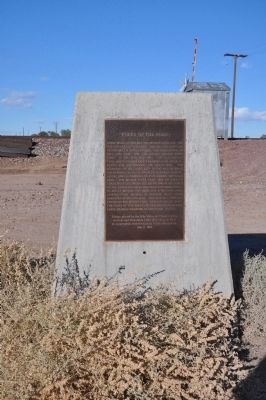
2. Forks of the Road Marker
Also see . . . Old Spanish Trail Association. (Submitted on November 8, 2020, by Craig Baker of Sylmar, California.)
Photographed by Michael Kindig, November 28, 2010
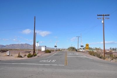
3. Forks of the Road Marker - at left
Credits. This page was last revised on February 29, 2024. It was originally submitted on December 19, 2011. This page has been viewed 1,839 times since then and 87 times this year. Last updated on November 8, 2020, by Craig Baker of Sylmar, California. Photos: 1. submitted on December 19, 2011, by Michael Kindig of Elk Grove, California. 2, 3. submitted on December 25, 2011, by Michael Kindig of Elk Grove, California. • J. Makali Bruton was the editor who published this page.
