The Shape of Independence
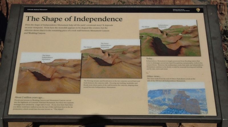
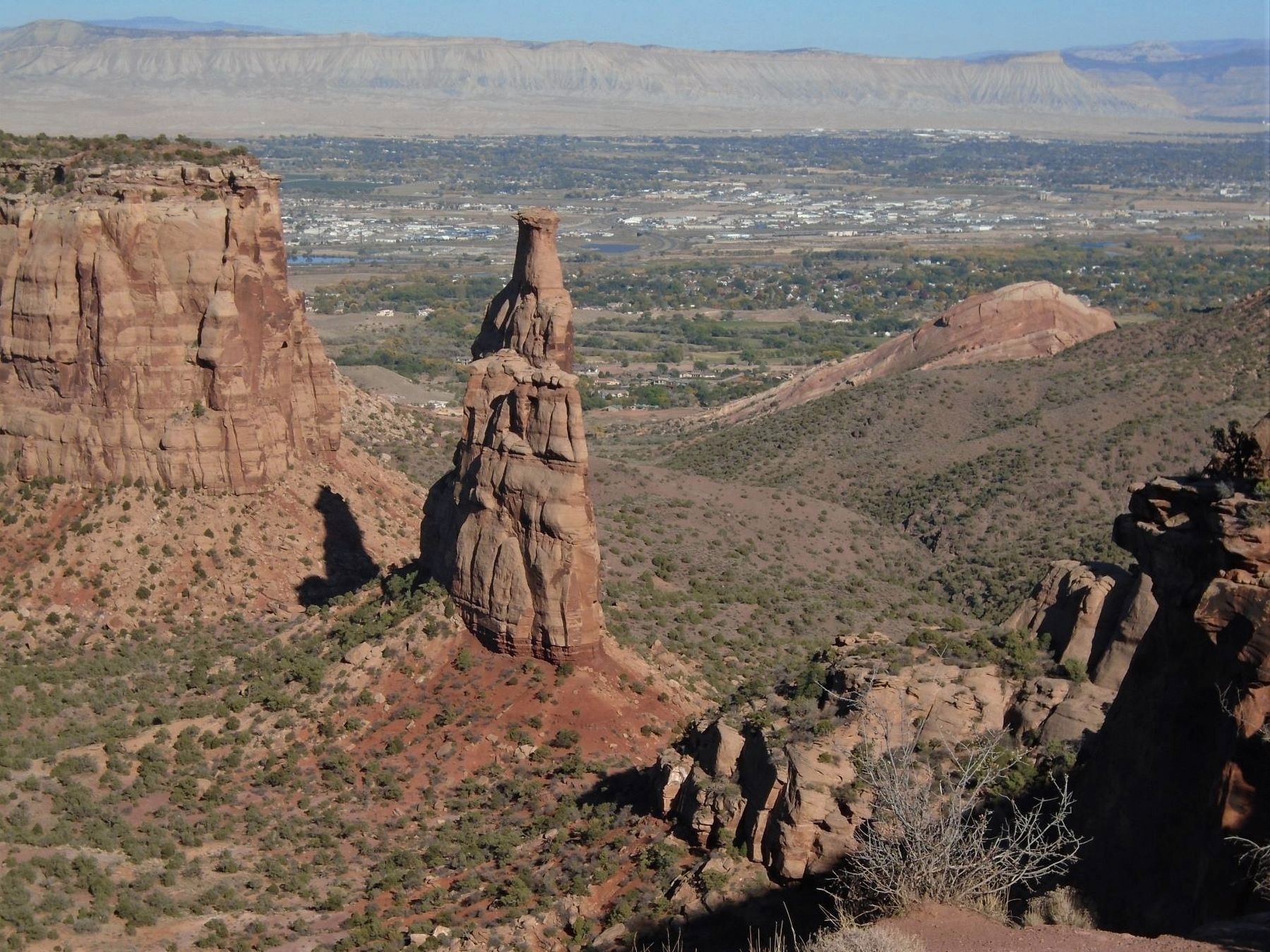
Does the shape of Independence Monument help tell the park's erosional story? It depends on your viewpoint. From here the monolith appears to be shaped like a tower, but the sideview shows that it is the remaining piece of a rock wall between Monument Canyon and Wedding Canyon.
[Left image]
About 2 million years ago....
Floods and streams in Wedding Canyon and Monument Canyon carved into the highlands of Colorado National Monument, but these two separate drainages were divided by a high wall of rock. If you were here back then you likely could have walked across the top of this wall from here to the far promontory which would later become known as "The Island".
[Center image]
The flowing streams and floodwaters in the two canyons carved back and forth between the canyon walls. Freezing and melting, landslides and floods wore down parts of the wall between the canyons, shaping what would become Independence Monument.
[Right image]
Today....
Independence Monument is largely protected from flooding waters that occur in drainages carved into hard Precambrian metamorphic rocks in the canyon floors. However the sedimentary rocks that make up Independence Monument continue to be slowly eroded by seasonal freezing and melting and by rain, snow and wind.
[Bottom right image]
Other
views...
The view south from the end of Otto's Trail allows a look at the side of the 450 foot tall Independence Monument.
Erected by National Park Service.
Topics. This historical marker is listed in these topic lists: Environment • Paleontology • Parks & Recreational Areas.
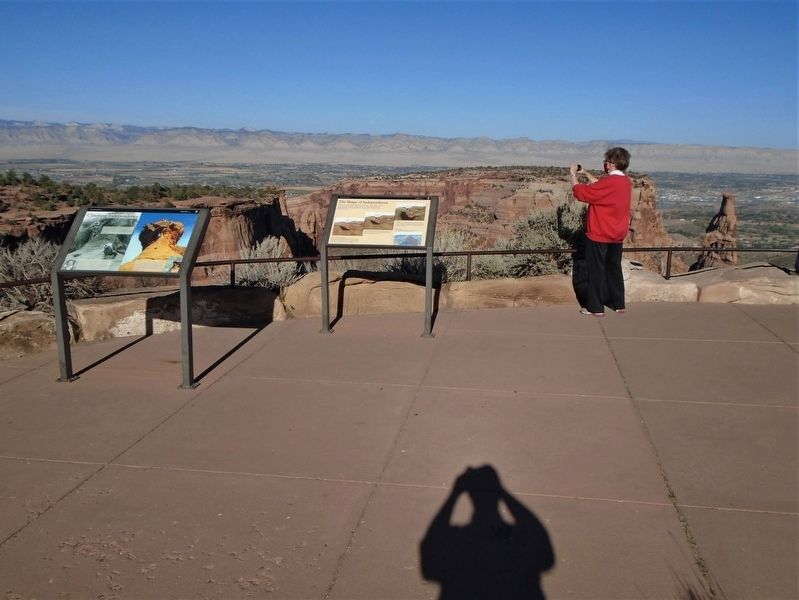
Location. 39° 5.618′ N, 108° 43.927′ W. Marker is in Colorado National Monument, Colorado, in Mesa County. Marker is at the Independence Monument scenic pulloff on Rim Rock Drive. Touch for map. Marker is in this post office area: Fruita CO 81521, United States of America. Touch for directions.
Other nearby markers. At least 8 other markers are within 5 miles of this marker, measured as the crow flies. Climbing Independence (here, next to this marker); The Grand View (approx. half a mile away); Tragedies on Rim Rock Drive (approx. half a mile away); John Otto (approx. half a mile away); Stephen Tyng Mather (approx. half a mile away); Ancient Environments (approx. half a mile away); The Shapes of Erosion (approx. 1.1 miles away); Western Slope Vietnam War Memorial Park (approx. 4.1 miles away). Touch for a list and map of all markers in Colorado National Monument.
Also see . . . Colorado National Monument. (Submitted on November 9, 2020, by William Fischer, Jr. of Scranton, Pennsylvania.)
Credits. This page was last revised on November 9, 2020. It was originally submitted on November 9, 2020, by William Fischer, Jr. of Scranton, Pennsylvania. This page has been viewed 144 times since then and 12 times this year. Photos: 1, 2, 3. submitted on November 9, 2020, by William Fischer, Jr. of Scranton, Pennsylvania.


