Arendtsville in Adams County, Pennsylvania — The American Northeast (Mid-Atlantic)
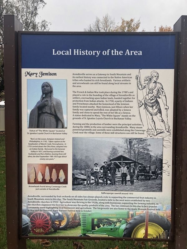
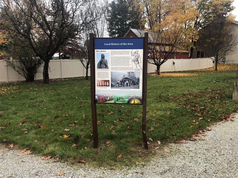
Local History of the Area
Arendtsville serves as serves as a Gateway to South Mountain and its earliest history was connected to the Native American tribes who hunted its rich forestlands. Various artifacts and arrowheads can still be found along local streams in the area.
The French and Indian War took place during the 1700's and played a role in the founding of the village of Arendtsville as settlers, encroaching upon Indian lands, banded together for protection from Indian attacks. In 1758, a party of Indians and Frenchmen attacked the homestead of the Jemison family located nearby. Mary Jemison, just fifteen when her family was captured and killed, was adopted by a Seneca family and chose to spend the rest of her life as a Seneca. A statue dedicated to Mary, "The White Squaw" stands on the grounds of St. Ignatius Loyola Church in Buchanan Valley.
Farming and the production of lumber were the principal activities during the 1800s in the area surrounding Arendtsville. Many steam powered gristmills and sawmills were established along the Conewago Creek near the village. Some of these mill structures can still be found.
Arendtsville, surrounded by fruit orchards on all sides has always played a role in supporting the commercial fruit industry in South Mountain, even to this day. The South Mountain Fair Grounds, located a mile to the west were established by two Arendtsville churches in 1922. Agriculture was thriving in the 1920s, along with businesses supporting the farming industry, so the churches organized the first fair to showcase the quality products of the area. The fair continues to this day to be a popular community event highlighting local businesses and agriculture. The fairgrounds are also home to the Apple Blossom Festival held in May and the National Apple Harvest Festival held in October.
[Sidebar:]
Mary Jemison
"Born on the ocean, between Ireland and Philadelphia in 1742. Taken captive at the headwaters of Marsh Creek, Pennsylvania. In 1755 carried down the Ohio River, adopted into an Indian family. Removed to the Genesee Valley in 1831, and having survived two husbands and five children, leaving three still alive; she died September 19th 1833 age about ninety-one years."
Topics and series. This historical marker is listed in these topic lists: Agriculture • Native Americans • Women. In addition, it is included in the Mary Jemison - White Woman of the Genessee series list. A significant historical date for this entry is September 19, 1833.
Location. 39° 55.311′ N, 77° 18.021′ W. Marker is in Arendtsville, Pennsylvania, in Adams County. Marker is at the intersection
Other nearby markers. At least 8 other markers are within 3 miles of this marker, measured as the crow flies. South Mountain: The Bedrock Of Conservation… (here, next to this marker); Veterans Memorial (here, next to this marker); Why are South Mountain and the Fruit Belt so important to the area and Pennsylvania? (a few steps from this marker); Pennsylvania Bread Basket: Feeding a Nation in Conflict (a few steps from this marker); F.D.R. Slept Here (about 300 feet away, measured in a direct line); Arendtsville (about 700 feet away); Penn State Fruit Research and Extension Center (approx. 2½ miles away); Biglerville (approx. 2.8 miles away). Touch for a list and map of all markers in Arendtsville.
Credits. This page was last revised on November 12, 2020. It was originally submitted on November 12, 2020, by Devry Becker Jones of Washington, District of Columbia. This page has been viewed 428 times since then and 68 times this year. Photos: 1, 2. submitted on November 12, 2020, by Devry Becker Jones of Washington, District of Columbia.

