Canyonlands National Park in San Juan County, Utah — The American Mountains (Southwest)
Aztec Butte
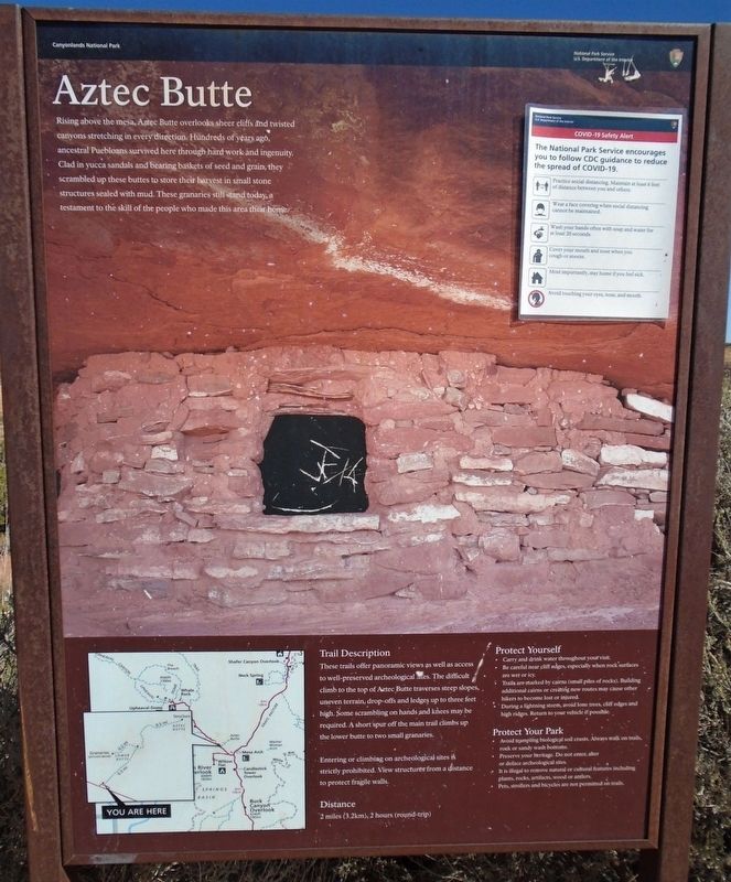
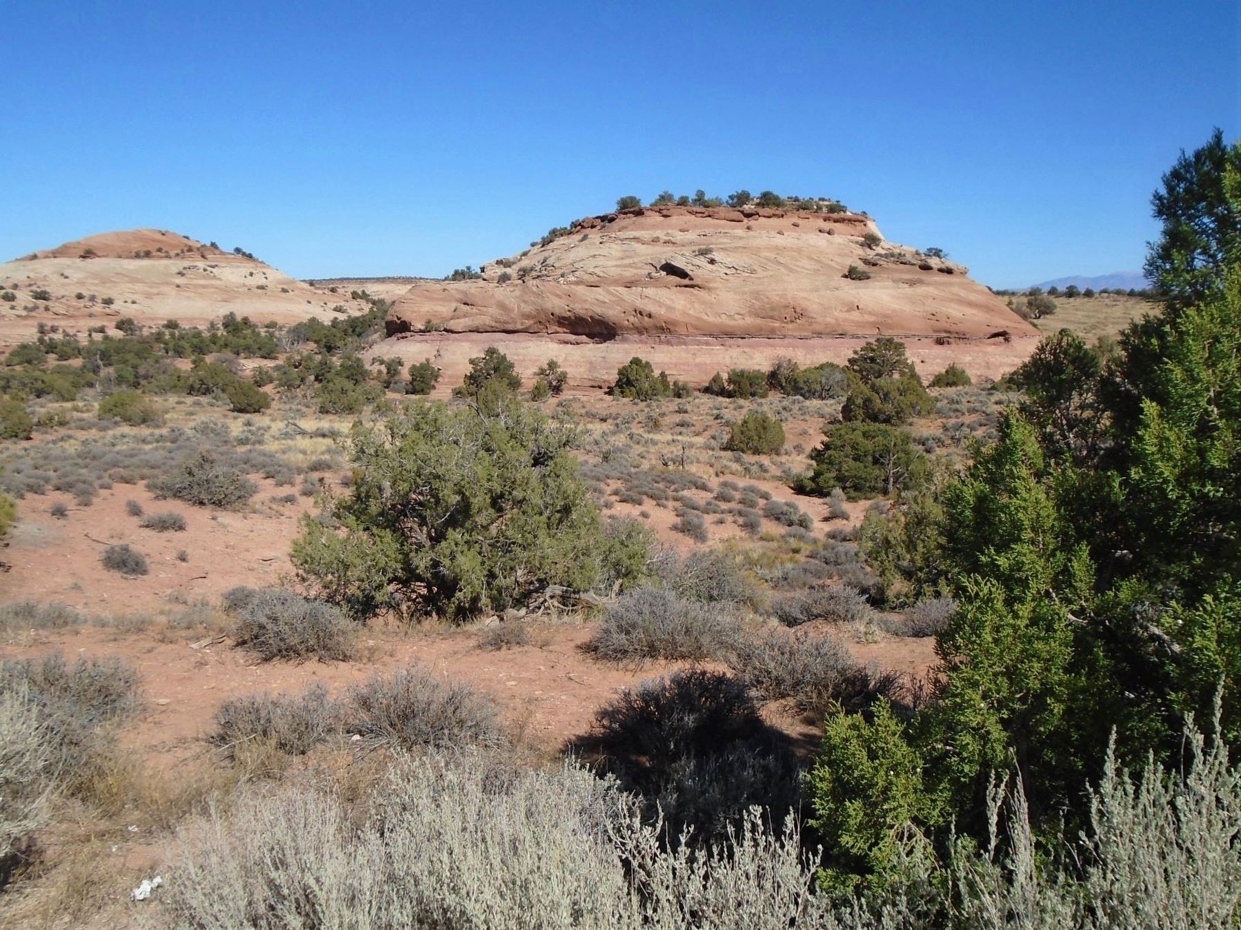
Rising above the mesa, Aztec Butte overlooks sheer cliffs and twisted canyons stretching in every direction. Hundreds of years ago, ancestral Puebloans survived here through hard work and ingenuity. Clad in yucca sandals and bearing baskets of seed and grain, they scrambled up these buttes to store their harvest in small stone structures sealed with mud. These granaries still stand today, a testament to the skill of the people who made this area their home.
Trail Description
These trails offer panoramic views as well as access to well-preserved archeological sites. The difficult climb to the top of Aztec Butte traverses steep slopes, uneven terrain, drop-offs and ledges up to three feet high. Some scrambling on hands and knees may be required. A short spur off the main trail climbs up the lower butte to two small granaries.
Entering or climbing on archeological sites is strictly prohibited. View structures from a distance to protect fragile walls.
Distance • Protect Yourself • Protect Your Park
[not transcribed - informational]
Erected by National Park Service.
Topics. This historical marker is listed in these topic lists: Anthropology & Archaeology • Environment • Native Americans.
Location. 38° 23.611′ N, 109° 52.915′ W. Marker is in Canyonlands National Park, Utah, in San Juan County. Marker is at the Aztec Butte Trailhead, off Upheaval Dome Road. Touch for map. Marker is in this post office area: Moab UT 84532, United States of America. Touch for directions.
Other nearby markers. At least 8 other markers are within 10 miles of this marker, measured as the crow flies. John Wesley Powell on the Green River (approx. 1.1 miles away); Green River Overlook (approx. 1.1 miles away); Tracks in the Canyon (approx. 3˝ miles away); The Neck (approx. 5.3 miles away); Indian Ricegrass (approx. 5.6 miles away); Protecting Wilderness (approx. 5.7 miles away); The Legend of Dead Horse Point (approx. 9.4 miles away); The Origins Of a Name (approx. 9˝ miles away). Touch for a list and map of all markers in Canyonlands National Park.
Also see . . .
1. American Indians. NPS Canyonlands National Park Utah website entry (Submitted on November 12, 2020, by William Fischer, Jr. of Scranton, Pennsylvania.)
2. A lifetime of exploration awaits you. NPS Canyonlands National Park website entry (Submitted on November 12, 2020, by William Fischer, Jr. of Scranton, Pennsylvania.)
Credits. This page was last revised on November 27, 2021. It was originally submitted on November 12, 2020, by William Fischer, Jr. of Scranton, Pennsylvania. This page has been viewed 203 times since then and 22 times this year. Photos: 1, 2, 3. submitted on November 12, 2020, by William Fischer, Jr. of Scranton, Pennsylvania.


