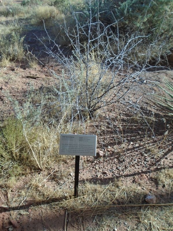
Utah Serviceberry
Amelanchier utahensis
| — | Rose family (Rosaceae) | — |
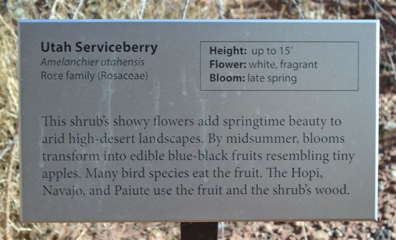
Height: up to 15'
Flower: white, fragrant
Bloom: late spring
This shrub's showy flowers add springtime beauty to arid high-desert landscapes. By midsummer, blooms transform into edible blue-black fruits resembling tiny apples. Many bird species eat the fruit. The Hopi, Navajo, and Paiute use the fruit and the shrub's wood.
Erected by National Park Service.
Topics. This historical marker is listed in these topic lists: Environment • Indigenous Peoples and Communities.
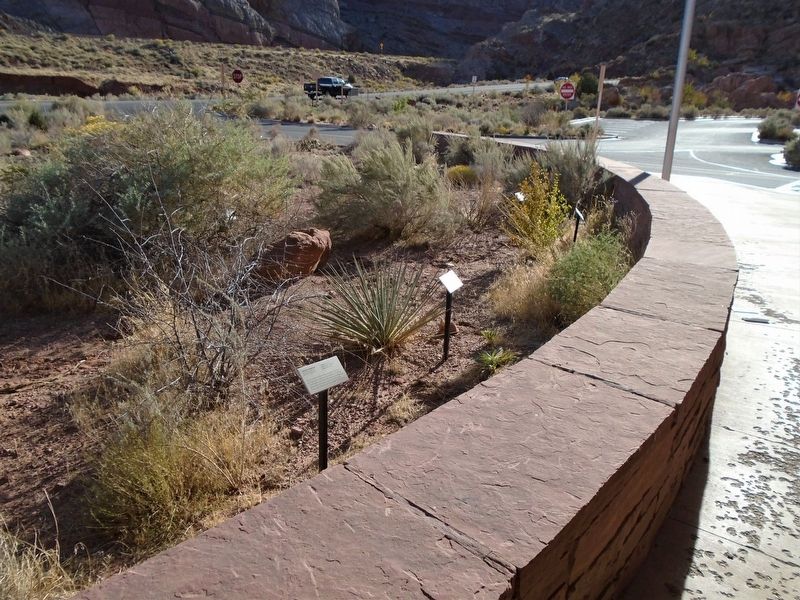
Location. 38° 36.974′ N, 109° 37.201′ W. Marker is in Arches National Park, Utah, in Grand County. It can be reached from Arches Entrance Road. Marker and plant are adjacent to the Visitor Center. Touch for map. Marker is in this post office area: Moab UT 84532, United States of America. Touch for directions.
Regionally, this marker is in Canyon Country. It is also in the American Mountain West, on the Colorado Plateau, and at the Four Corners. Globally, it is in North America, the Western Hemisphere, the Western World, and the Anglosphere. Historically, it finds itself in what was

this page online
Other nearby markers. At least 8 other markers are within 4 miles of this marker, measured as the crow flies: Harriman's Yucca (here, next to this marker); Rubber Rabbitbrush (here, next to this marker); Moab Utah UMTRA Project (approx. 1.3 miles away); Inspiring Views, Sacred Mountains (approx. 1.7 miles away); Grand Old Ranch House (approx. 3.4 miles away); Ancient Sand Dunes (approx. 3.8 miles away); Scott M. Matheson (approx. 4 miles away); The Moab Skyway - High Hopes and Big Risks (approx. 4 miles away). Touch for a list and map of all markers in Arches National Park.
Also see . . .
1. Utah Serviceberry Fact Sheet. US Department of Agriculture website entry (Submitted on November 13, 2020, by William Fischer, Jr. of Reynoldsburg, Ohio.)
2. Arches National Park. National Park Service website entry (Submitted on November 13, 2020, by William Fischer, Jr. of Reynoldsburg, Ohio.)
Credits. This page was last revised on May 10, 2024. It was originally submitted on November 13, 2020, by William Fischer, Jr. of Reynoldsburg, Ohio. This page has been viewed 276 times since then and 11 times this year. Photos: 1, 2, 3. submitted on November 13, 2020, by William Fischer, Jr. of Reynoldsburg, Ohio.
