Bristol in Bucks County, Pennsylvania — The American Northeast (Mid-Atlantic)
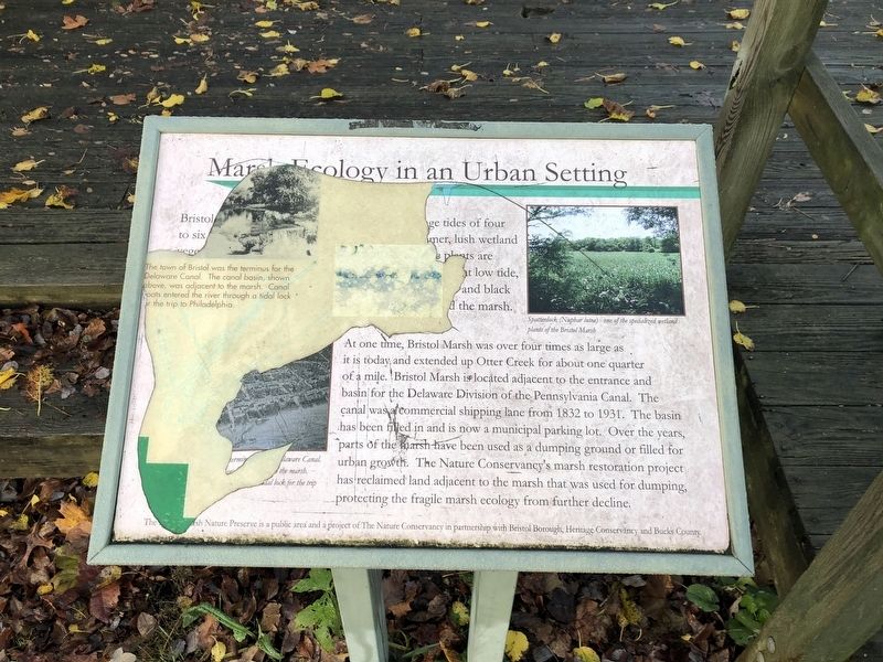
Marsh Ecology in an Urban Setting

Photographed By Devry Becker Jones (CC0), November 14, 2020
1. Marsh Ecology in an Urban Setting Marker
[Unreadable]
At one time, Bristol Marsh was over four times as large as it is today and extended up Otter Creek for about one quarter of a ile. Bristol Marsh is located adjacent to the entrance and basin for the Delaware Division of the Pennsylvania Canal. The canal was a commercial shipping lane from 1832 to 1931. The basin has been filled in and is now a municipal parking lot. Over the years, parts of the marsh have been used as a dumping ground or filled for urban growth. The Nature Conservancy's marsh restoration project has reclaimed land adjacent to the marsh that was used for dumping, protecting the fragile marsh ecology from further decline.
Erected by The Nature Conservancy.
Topics and series. This historical marker is listed in these topic lists: Environment • Natural Features • Waterways & Vessels. In addition, it is included in the Delaware Canal (AKA Delaware Division of the Pennsylvania Canal) series list. A significant historical year for this entry is 1832.
Location. 40° 5.642′ N, 74° 51.507′ W. Marker has been reported unreadable. Marker is in Bristol, Pennsylvania, in Bucks County. Marker is on Canals End Road just south of Basin Park when traveling west. Touch for map. Marker is at or near this postal address: 100 Wood St, Bristol PA 19007, United States of America. Touch for directions.
Other nearby markers. At least 8 other markers are within walking distance of this location. In the Basin (within shouting distance of this marker); Fueling the Economy (within shouting distance of this marker); Working with the Tide (within shouting distance of this marker); Where the Canal Met the River (about 300 feet away, measured in a direct line); Tidal Delaware Water Trail (about 400 feet away); Harriet Ross Tubman (about 400 feet away); The Puerto Rican Monument of Bristol (about 400 feet away); Columbus 500 Celebration (about 600 feet away). Touch for a list and map of all markers in Bristol.

Photographed By Devry Becker Jones (CC0), November 14, 2020
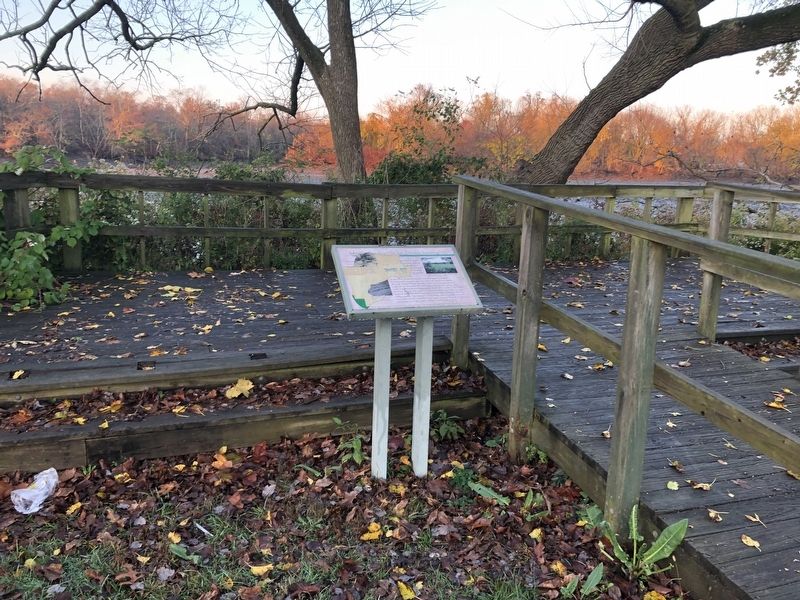
2. Marsh Ecology in an Urban Setting Marker
Credits. This page was last revised on November 15, 2020. It was originally submitted on November 15, 2020, by Devry Becker Jones of Washington, District of Columbia. This page has been viewed 109 times since then and 15 times this year. Photos: 1, 2. submitted on November 15, 2020, by Devry Becker Jones of Washington, District of Columbia.