Napoleon in Henry County, Ohio — The American Midwest (Great Lakes)
Miami & Erie Canal And Napoleon's First Cemetery
Photographed by Craig Doda, September 18, 2019
1. Miami & Erie Canal And Napoleon's First Cemetery Marker
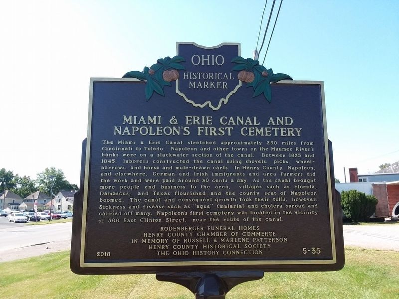
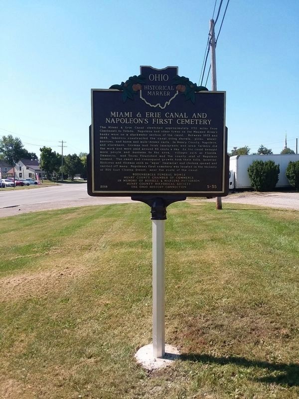
The Miami & Erie Canal stretched approximately 250 miles from Cincinnati to Toledo. Napoleon and other towns on the Maumee River's banks were on a slackwater section of the canal. Between 1825 and 1845, laborers constructed the canal using shovels, picks, wheelbarrows, and horse and mule-drawn carts. In Henry County, Napoleon, and elsewhere, German and Irish immigrants and area farmers did the work and were paid around 30 cents a day. As the canal brought more people and business to the area. Villages such as Florida, and Texas flourished and the county seat of Napoleon boomed. The canal and consequent growth took their tolls, however. Sickness and disease such as "ague” (malaria) and cholera spread and carried off many. Napoleon's first cemetery was located in the vicinity of 500 East Clinton Street, near the route of the canal.
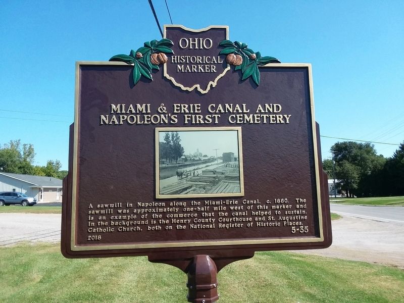
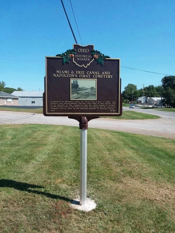
A sawmill in Napoleon along the Miami-Erie Canal. c. 1880. The sawmill was approximately one-half mile west of this marker and is an example of the commerce that the canal helped to sustain. In the background is the Henry County Courthouse and St. Augustine Catholic Church, both on the
this page online
Erected 2018 by The Ohio History Connection. (Marker Number 5-35.)
Topics and series. This historical marker is listed in these topic lists: Cemeteries & Burial Sites • Waterways & Vessels. In addition, it is included in the Ohio Historical Society / The Ohio History Connection, and the The Miami & Erie Canal series lists. A significant historical year for this entry is 1825.
Location. 41° 23.683′ N, 84° 7.15′ W. Marker is in Napoleon, Ohio, in Henry County. It is on East Riverview Avenue (Route 424) just north of East Clinton Street, on the left when traveling east. Touch for map. Marker is at or near this postal address: 344 E Riverview Ave, Napoleon OH 43545, United States of America. Touch for directions.

Regionally, this marker is in the Black Swamp and in the Till Plains. It is also in the American Midwest and in the Corn Belt. Globally, it is in North America, the Western Hemisphere, the Western World, and the Anglosphere. Historically, it finds itself in what was once the Haudenosaunee (Iroquois) Confederacy, the territory of the Mississippian Culture, and the Northwest
Photographed by Craig Doda, September 18, 2019
2. Miami & Erie Canal And Napoleon's First Cemetery Marker
Other nearby markers. At least 8 other markers are within walking distance of this marker: 221 East Washington (approx. ¼ mile away); Saint Augustine Catholic Church (approx. 0.3 miles away); 127 E. Clinton (approx. 0.3 miles away); Dogs Help Relieve Stress (approx. 0.3 miles away); Lloyd W. Franz Veterans Memorial Park (approx. 0.3 miles away); Fallen Soldiers Battle Cross (approx. 0.3 miles away); Henry County's Fallen Heroes (approx. 0.3 miles away); Freedom Is Not Free (approx. 0.3 miles away). Touch for a list and map of all markers in Napoleon.
Photographed by Craig Doda, September 18, 2019
3. Miami & Erie Canal And Napoleon's First Cemetery Marker
Photographed by Craig Doda, September 18, 2019
4. Miami & Erie Canal And Napoleon's First Cemetery Marker
Photographed by Craig Doda, October 31, 2023
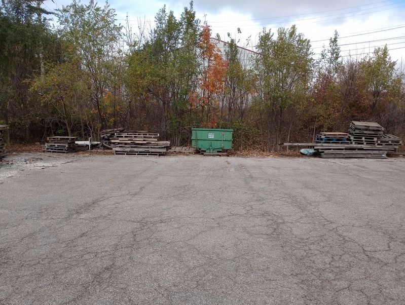
5. Napoleon's First Cemetery Marker
The cemetery was found along the old rail bed behind the building to the west of the marker.
Credits. This page was last revised on December 5, 2023. It was originally submitted on November 17, 2020, by Craig Doda of Napoleon, Ohio. This page has been viewed 727 times since then and 65 times this year. Photos: 1, 2. submitted on November 17, 2020, by Craig Doda of Napoleon, Ohio. 3, 4. submitted on January 29, 2021, by Craig Doda of Napoleon, Ohio. 5. submitted on November 3, 2023, by Craig Doda of Napoleon, Ohio. • Devry Becker Jones was the editor who published this page.
