Okeene in Blaine County, Oklahoma — The American South (West South Central)
Body Found In Deep Creek 1903
Photographed by Craig Doda, December 29, 2018
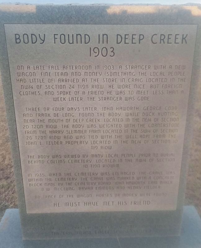
1. Body Found In Deep Creek 1903 Marker
On a late fall afternoon in 1903, a stranger with a new wagon, fine team and money (something the local people had little of) arrived at the store in Craig located in the NW/4 of Section 24 T19N R10W. He wore nice, but foreign clothes, and spoke of a friend he was to meet. Less than a week later, the stranger was gone.
Three or four days later, John Haworth George Cobb and Frank De Long found the body, while duck hunting near the mouth of deep creek, located in the NE/4 of section 20 T20N R10W. The body was weighted with the cornerstone from the Harry Slemmer Farm located in the SW/4 of Section 26 T20N R10-W and was tied with the well rope from the John L. Felder property located in the NE/4 of Section 10 T19 R10W
The body was viewed by many local people prior to burial behind Collins Cemetery located in the NW/4 of Section 10 T19N R10UWIM
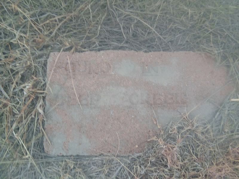
In 1935, when the cemetery was enlarged, the grave was within the cemetery. The grave was marked with a concrete block made by the cemetery board John Haworth, Earl Baker, B.W. McClung, Bryan Emmons, and Henry Fielder.
No trace of the wagon, horses or money were found.
"He
this page online
Erected 1998.
Topics. This historical marker is listed in these topic lists: Cemeteries & Burial Sites • Waterways & Vessels. A significant historical year for this entry is 1903.
Location. 36° 8.267′ N, 98° 15.8′ W. Marker is in Okeene, Oklahoma, in Blaine County. It is on N2660 Road, on the right when traveling north. Touch for map. Marker is in this post office area: Okeene OK 73763, United States of America. Touch for directions.

Regionally, this marker is in Northwest Oklahoma — Red Carpet Country and specifically in Central Oklahoma—Frontier Country. It is also in the American South, specifically on the prairies, and on the Southern Plains. Globally, it is in North America, the Western Hemisphere, the Western World, and the Anglosphere. Historically, it finds itself in what was once the Comanchería, the territory of the Mississippian Culture, and the Louisiana Purchase.
Other nearby markers. At least 2 other markers are within 17 miles of this marker, measured as the crow flies: Lacey (approx. 10 miles away); Chief Henry Roman Nose (approx. 16½ miles away).
Photographed by Craig Doda, December 29, 2018
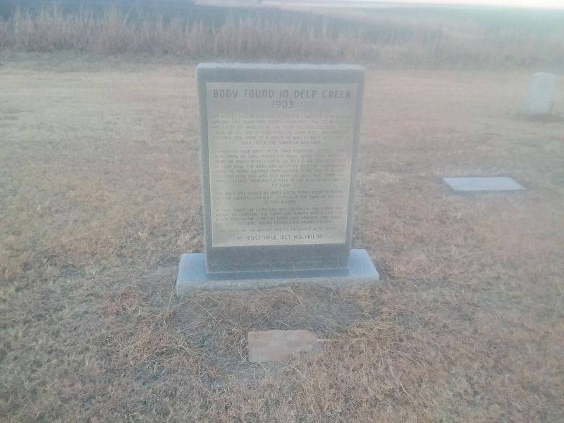
2. Body Found In Deep Creek 1903 Marker
Photographed by Craig Doda, December 29, 2018
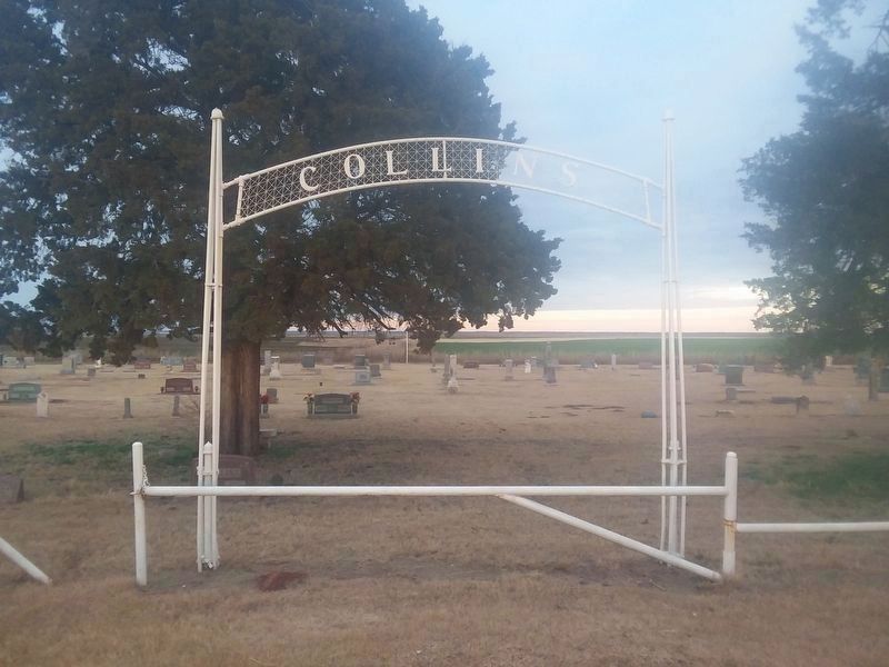
3. Entry gate to Collins Cemetery
Photographed by Craig Doda, December 29, 2018
4. The original Found In Deep Creek Marker
Credits. This page was last revised on December 30, 2024. It was originally submitted on November 17, 2020, by Craig Doda of Napoleon, Ohio. This page has been viewed 821 times since then and 58 times this year. Photos: 1. submitted on November 18, 2020, by J. Makali Bruton of Washington, District of Columbia. 2, 3, 4. submitted on November 17, 2020, by Craig Doda of Napoleon, Ohio. • J. Makali Bruton was the editor who published this page.
