Reading in Berks County, Pennsylvania — The American Northeast (Mid-Atlantic)
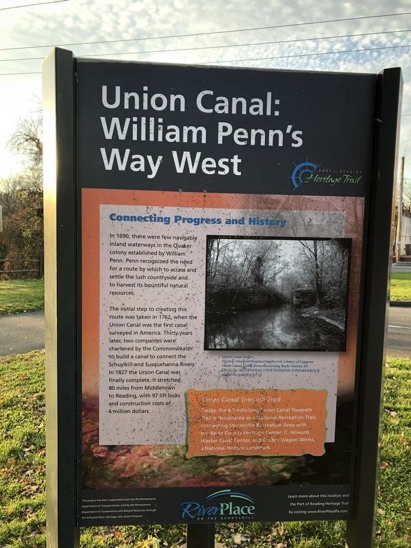
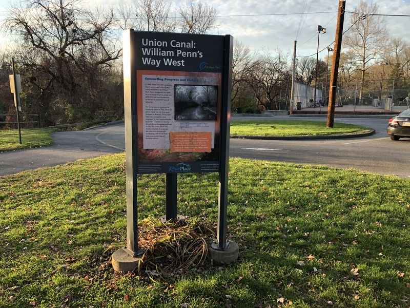
Union Canal: William Penn's Way West
Port of Reading Heritage Trail

Photographed By Devry Becker Jones (CC0), November 20, 2020
1. Union Canal: William Penn's Way West Marker
Connecting Progress and History
In 1690, there were few navigable inland waterways in the Quaker colony established by William Penn. Penn recognized the need for a route by which to access and settle the lush countryside and harvest its bountiful natural resources.
The initial step to creating this route was taken in 1762, when the Union Canal was the first canal surveyed in America. Thirty years later, two companies were chartered by the Commonwealth to build a canal to connect the Schuylkill and Susquehanna Rivers. In 1827 the Union Canal was finally complete. It stretched 80 miles from Middletown to Reading, with 97 lift locks and construction costs of 6 million dollars.
Union Canal Towpath Trail
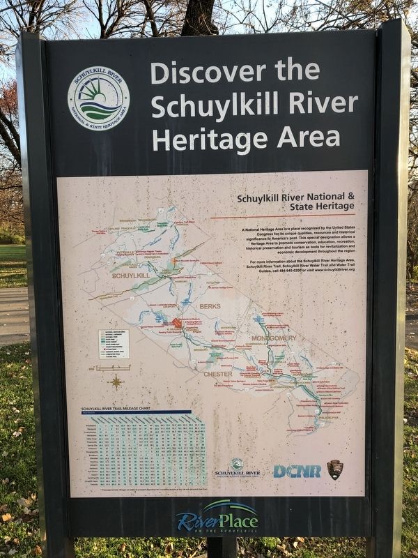
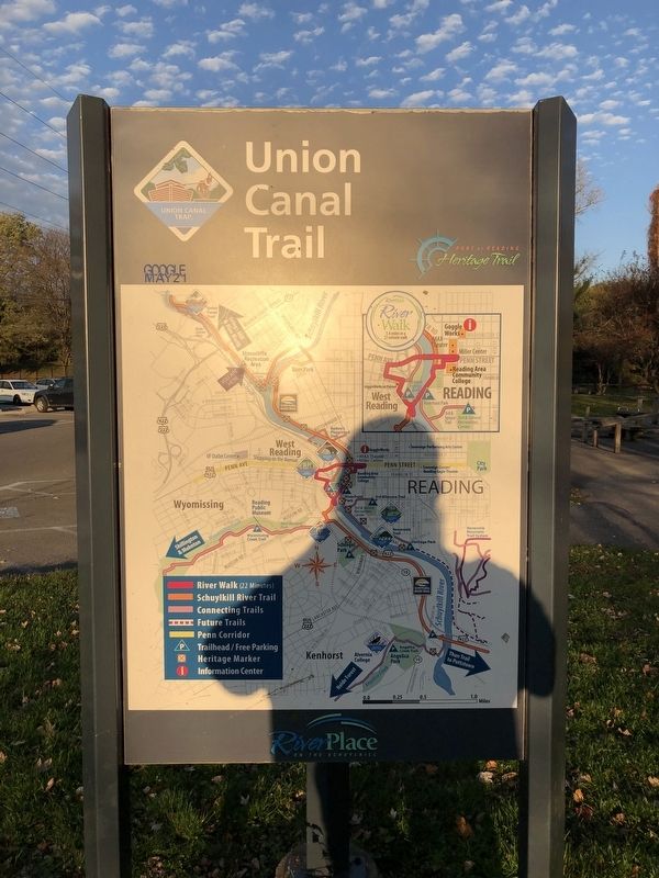
Today, the 4.5 mile-long Union Canal Towpath Trail is designated as a National Recreation Trail, connecting Stonecliffe Recreation Area with the Berks County Heritage Center - C. Howard Hiester Canal Center, and Gruber Wagon Works, a National Historic Landmark.
Erected by River Place on the Schuylkill.
Topics and series. This historical marker is listed in these topic lists: Colonial Era • Industry & Commerce • Settlements & Settlers • Waterways & Vessels. In addition, it is included in the National Historic Landmarks, and the Quakerism series lists. A significant historical year for this entry is 1690.
Location. 40° 20.933′ N, 75° 57.255′ W. Marker is in Reading, Pennsylvania, in Berks County. Marker is at the intersection of Union Canal Trail and Columbia Street, on the right when traveling north on Union Canal Trail. Touch for map. Marker is in this post office area: Reading PA 19610, United States of America. Touch for directions.
Other nearby markers. At least 8 other markers are within walking distance of this marker. 2016 (approx. ¾ mile away); 1969 (approx. ¾ mile away); 1941 (approx. ¾ mile away); Welcome To The Knitting Mills (approx. ¾ mile away); 1906 (approx. ¾ mile away); 1924 (approx. ¾ mile away); 1896 (approx. 0.8 miles away); 1932 (approx. 0.8 miles away).

Photographed By Devry Becker Jones (CC0), November 20, 2020
2. Union Canal: William Penn's Way West Marker

Photographed By Devry Becker Jones (CC0), November 20, 2020
3. Union Canal: William Penn's Way West Marker

Photographed By Devry Becker Jones (CC0), November 20, 2020
4. Union Canal: William Penn's Way West Marker
Credits. This page was last revised on November 22, 2020. It was originally submitted on November 22, 2020, by Devry Becker Jones of Washington, District of Columbia. This page has been viewed 157 times since then and 21 times this year. Photos: 1, 2, 3, 4. submitted on November 22, 2020, by Devry Becker Jones of Washington, District of Columbia.