AuSable in Clinton County, New York — The American Northeast (Mid-Atlantic)
Ausable Chasm's "Famous Boat Ride"
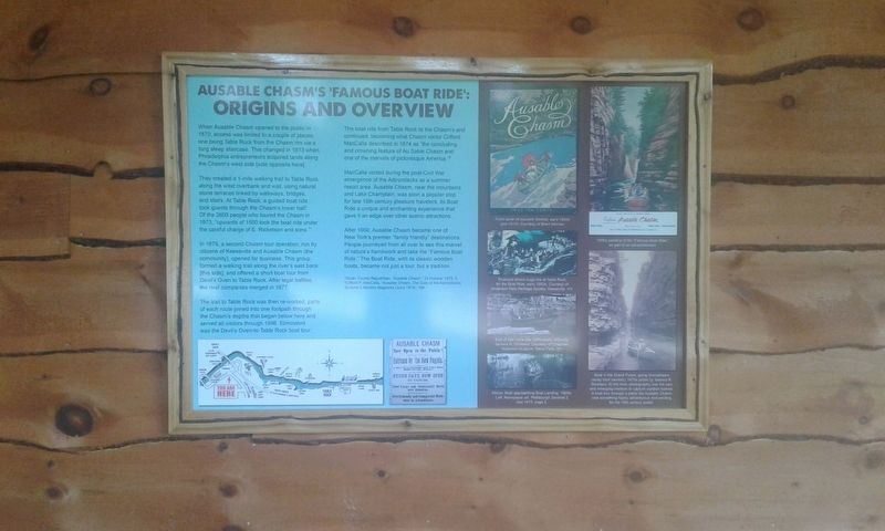
— Origins And Overview —
When Ausable Chasm opened to the public in 1870, access was limited to a couple of places, one being Table Rock from the Chasm rim via a long steep staircase. This changed in 1873 when Philadelphia entrepreneurs acquired lands along the Chasm's west side [side opposite here].
They created a 1-mile walking trail to Table Rock along the west riverbank and wall, using natural stone terraces linked by walkways, bridges, and stairs. At Table Rock, a guided boat ride took guests through the Chasm's lower half. Of the 2600 people who toured the Chasm in 1873, "upwards of 1500 took the boat ride under the careful charge of E. Ricketson and sons."
In 1875, a second Chasm tour operation, run by citizens of Keeseville and Ausable Chasm (the community), opened for business. This group formed a walking trail along the river's east bank [this side], and offered a short boat tour from Devil's Oven to Table Rock. After legal battles, the rival companies merged in 1877.
The trail to Table Rock was then re-worked, parts of each route joined into one footpath through the Chasm's depths that began below here and served all visitors through 1996. Eliminated was the Devil's Oven-to-Table Rock boat tour.
The boat ride from Table Rock to the Chasm's end continued, becoming what Chasm visitor Clifford MacCalla described in 1874 as "the concluding and crowning feature of Au Sable Chasm and one of the marvels of picturesque America.”
MacCalla visited during the post-Civil War emergence of the Adirondacks as a summer resort area Ausable Chasm, near the mountains and Lake Champlain, was soon a popular stop for late 19th century pleasure travelers, its Boat Ride a unique and enchanting experience that gave it an edge over other scenic attractions.
After 1900, Ausable Chasm became one of New York's premier "family friendly” destinations. People journeyed from all over to see this marvel of nature's handiwork and take the "Famous Boat Ride." The Boat Ride, with its classic wooden boats, became not just a tour, but a tradition.
Topics. This historical marker is listed in these topic lists: Parks & Recreational Areas • Waterways & Vessels. A significant historical year for this entry is 1870.
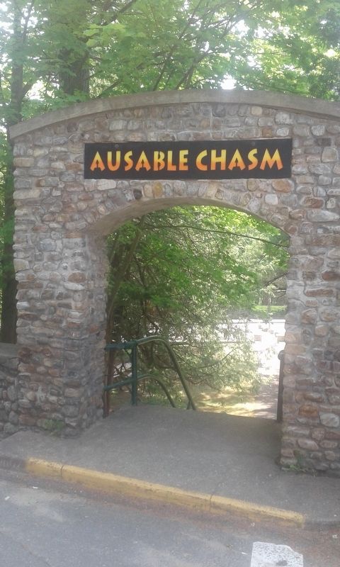
Location. 44° 31.504′ N, 73° 27.709′ W. Marker is in AuSable, New York, in Clinton County. Marker can be reached from the intersection of Mace Chasm Road and U.S. 9, on the left when traveling west. Located behind the entrance to Ausable Chasm. Touch for map. Marker is in this post office area: Keeseville NY 12911, United States of America. Touch for directions.
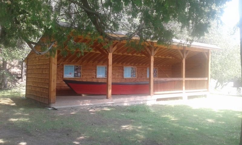
Other nearby markers. At least 8 other markers are within 2 miles of this marker, measured as the crow flies. What Is This Boat? (here, next to this marker); The Boats And The Boatmen (here, next to this marker); How Did They Get Boats Back For The Next Ride? (a few steps from this marker); Herbert Estes (within shouting distance of this marker); Our Freedom Bell (within shouting distance of this marker); Rainbow Falls Hydroelectric Plant (about 700 feet away, measured in a direct line); Train Depot (approx. 1.4 miles away); Mineral Spring (approx. 1.6 miles away). Touch for a list and map of all markers in AuSable.
Also see . . .
1. Ausable Chasm. (Submitted on November 28, 2020, by Michael Herrick of Southbury, Connecticut.)
2. Ausable Chasm. Wikipedia entry (Submitted on November 28, 2020, by Michael Herrick of Southbury, Connecticut.)
Credits. This page was last revised on May 23, 2022. It was originally submitted on November 23, 2020, by Craig Doda of Napoleon, Ohio. This page has been viewed 348 times since then and 19 times this year. Photos: 1, 2, 3. submitted on November 23, 2020, by Craig Doda of Napoleon, Ohio. • Michael Herrick was the editor who published this page.


