Cary in Sharkey County, Mississippi — The American South (East South Central)
Cary Mounds
Steele's Bayou Expedition
— Vicksburg Campaign —
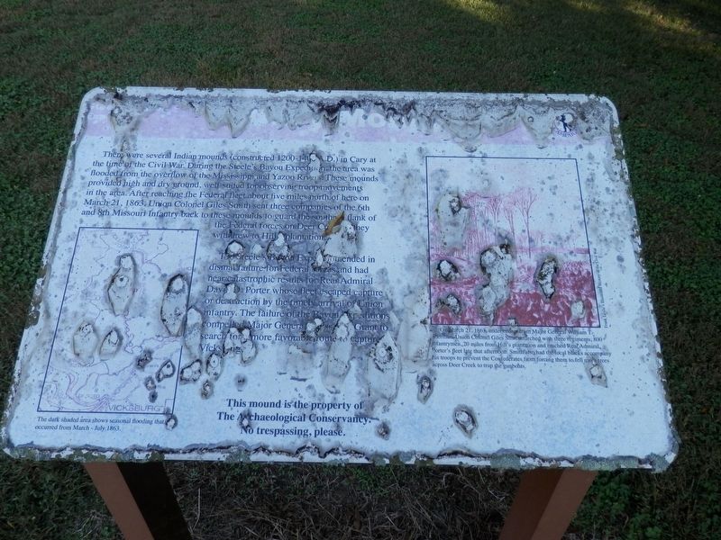
There were several Indian mounds constructed (1200-1400 A.D.) in Cary at the time of the Civil War. During the Steele's Bayou Expedition, the area was flooded from the overflow of the Mississippi and Yazoo Rivers. These mounds provided high and dry ground, well suited for observing troop movements in the area. After reaching the Federal fleet about five miles north of here on March 21, 1863, Union Colonel Giles Smith sent three companies of the 6th and 8th Missouri Infantry back to these mounds to guard the south flank of the Federal forces on Deer Creek as they withdrew to Hill Plantation.
The Steele's Bayou Expedition ended in dismal failure for Federal forces and had near catastrophic results for Rear Admiral David D. Porter whose fleet escaped capture or destruction by the timely arrival of Union infantry. The failure of the Bayou Expeditions compelled Major General Ulysses S. Grant to search for a more favorable route to capture Vicksburg.
Topics. This historical marker is listed in these topic lists: Native Americans • War, US Civil • Waterways & Vessels. A significant historical date for this entry is March 21, 1863.
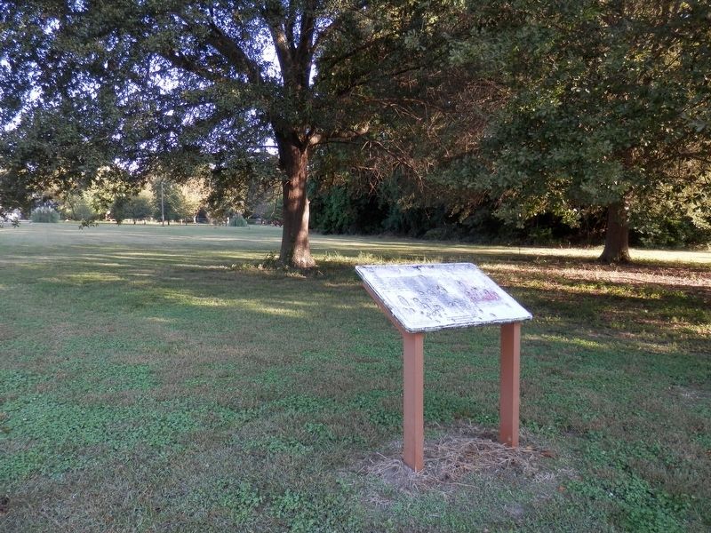
Location. 32° 48.21′ N, 90° 55.886′ W. Marker is in Cary, Mississippi, in Sharkey County. Marker is at the intersection of Willow Lane and Crabapple Lane, on the right
Other nearby markers. At least 8 other markers are within 8 miles of this marker, measured as the crow flies. A different marker also named Cary Mounds (here, next to this marker); Teddy Roosevelt's Bear Hunt (approx. 5˝ miles away); Hill’s Plantation (approx. 5.6 miles away); a different marker also named Hill’s Plantation (approx. 5.6 miles away); Rolling Fork Mounds (approx. 7.1 miles away); Sharkey County Courthouse (approx. 7.9 miles away); What is a Shotgun Shack? (approx. 7.9 miles away); Muddy Waters (approx. 7.9 miles away).
Also see . . . Wikipedia Entry for the Steele's Bayou Expedition. (Submitted on November 25, 2020, by Cajun Scrambler of Assumption, Louisiana.)
Credits. This page was last revised on November 25, 2020. It was originally submitted on November 25, 2020, by Cajun Scrambler of Assumption, Louisiana. This page has been viewed 241 times since then and 31 times this year. Photos: 1, 2. submitted on November 25, 2020, by Cajun Scrambler of Assumption, Louisiana.

