Benton in Scott County, Missouri — The American Midwest (Upper Plains)
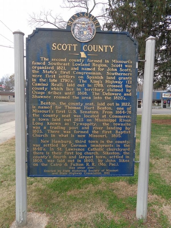
Scott County
Benton, the county seat, laid out in 1822, is named for Thomas Hart Benton, one of Missouri's first U.S. Senators. From 1864-78 the county seat was located at Commerce, a town laid out 1823 on Mississippi River. Long known as Tywappity, the townsite was a trading post and river landing by 1803. There was formed the first Baptist Church in what is now Missouri, 1805.
New Hamburg, third town in the county, was settled by German immigrants in the 1840's. In St. Lawrence Catholic churchyard there is their first log church. Sikeston, the county's fourth and largest town, settled in 1800, was laid out in 1860, by John Sikes on the Cairo & Fulton R.R. (Mo. Pac.).
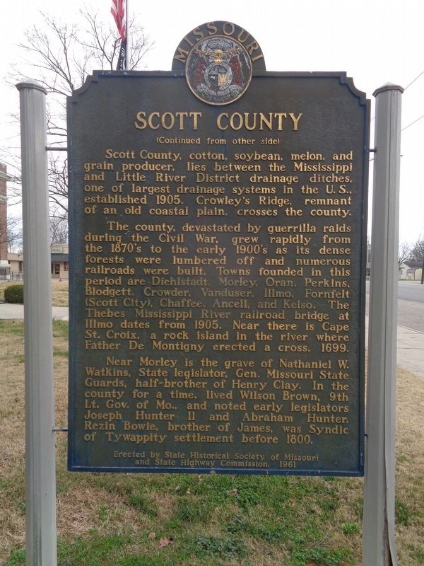
Scott County, cotton, soybean, melon, and grain producer, lies between the Mississippi and Little River District drainage ditches, one of largest drainage systems in the U.S., established 1905. Crowley's Ridge, remnant of an old coastal plain, crosses the county.
The county, devastated by guerrilla raids during the Civil War, grew rapidly from the 1870's to the early 1900's as its dense forests were lumbered off and numerous railroads were built. Towns founded in this period are Diehlstadt, Morley, Oran, Perkins, Blodgett, Crowder, Vanduser, Illmo, Fornfelt (Scott City), Chaffee, Ancell, and Kelso. The Thebes Mississippi River railroad bridge at Illmo dates from 1905. Near there is Cape St. Croix, a rock island in the river where Father De Montigny erected a cross, 1699.
Near Morley is the grave of Nathaniel W. Watkins, State legislator, Gen. Missouri State Guards, half-brother of Henry Clay. In the county for a time, lived Wilson Brown, 9th Lt. Gov. of Mo., and noted early legislators Joseph Hunter II and Abraham Hunter. Rezin Bowie, brother of James, was Syndic of Tywappity settlement before 1800.
Erected 1961 by State Historical Society of Missouri and State Highway Commission.
Topics and series. This historical marker is listed in these topic lists: Railroads & Streetcars • Roads & Vehicles • Settlements & Settlers • Waterways & Vessels. In addition, it is included in the Missouri, The State Historical Society of series list. A significant historical year for this entry is 1821.
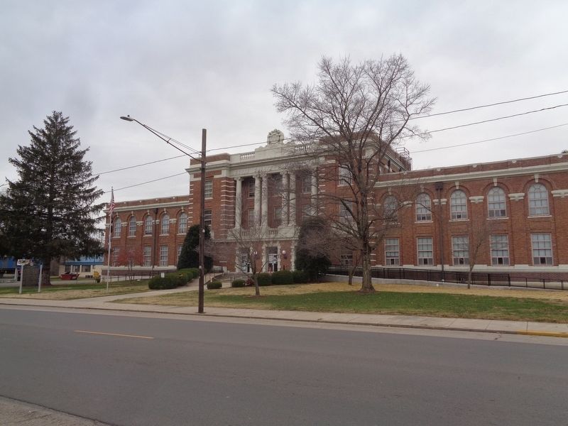
Location. 37° 5.79′ N, 89° 33.795′ W. Marker is in Benton, Missouri, in Scott County. Marker is on South Winchester Street (U.S. 61) north of Tywappity Street, on the right when traveling south. Marker is located in front of the Scott County Courthouse. Touch for map. Marker is at or near this postal address: 131 S Winchester St, Benton MO 63736, United States of America. Touch for directions.
Other nearby markers. At least 8 other markers are within 12 miles of this marker, measured as the crow flies. War Memorial (a few steps from this marker); El Camino Real (within shouting distance of this marker); Old Thebes Courthouse (approx. 10.2 miles away in Illinois); Steamboats on the Mississippi River (approx. 10.6 miles away in Illinois); Lewis and Clark in Illinois (approx. 10.6 miles away in Illinois); London School (approx. 11.8 miles away in Illinois); New Hope Missionary Baptist Church (approx. 11.8 miles away in Illinois); Ole London Farm (approx. 11.9 miles away in Illinois). Touch for a list and map of all markers in Benton.
Credits. This page was last revised on November 29, 2020. It was originally submitted on November 29, 2020, by Jason Voigt of Glen Carbon, Illinois. This page has been viewed 362 times since then and 39 times this year. Photos: 1, 2, 3. submitted on November 29, 2020, by Jason Voigt of Glen Carbon, Illinois.


