Franklin in Williamson County, Tennessee — The American South (East South Central)
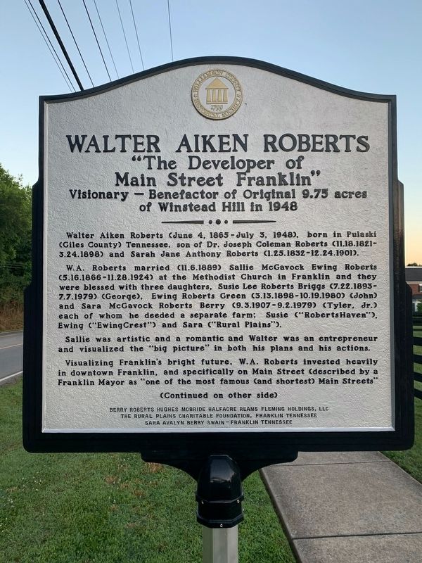
Walter Aiken Roberts
"The Developer of Main Street Franklin"
— Visionary - Benefactor of Original 9.75 acres of Winstead Hill in 1948 —
Walter Aiken Roberts (June 4, 1865 - July 3, 1948), born in Pulaski (Giles County) Tennessee, son of Dr. Joseph Coleman Roberts (11.18.1821 - 3.24.1898) and Sarah Jane Anthony Roberts (1.23.1832 - 12.24.1901).
W.A. Roberts married (11.6.1889) Sallie McGavock Ewing Roberts (5.16.1865 - 11.28.1924) at the Methodist Church in Franklin and they were blessed with three daughters, Susie Lee Roberts Briggs (7.22.1893 - 7.7.1979)(George), Ewing Roberts Green (3.13.1898 - 10.19.1980)(John) and Sara McGavock Roberts Berry (9.3.1907 - 9.2.1979)(Tyler, Jr.), each of whom he deeded a separate farm: Susie ("RobertsHaven"), Ewing ("EwingCrest") and Sara ("Rural Plains").
Sallie was artistic and a romantic and Walter was an entrepreneur and visualized the "big picture" in both his plans and his actions.
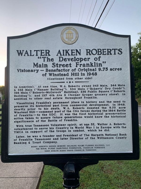
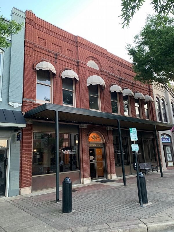
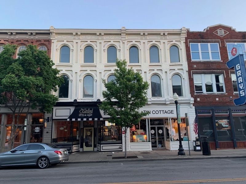
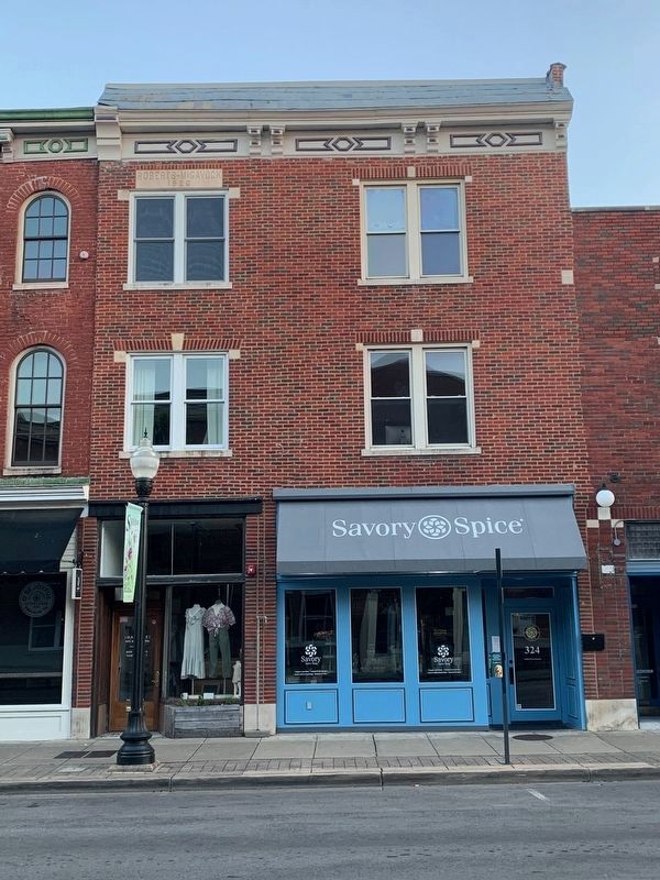
Visualizing Franklin's bright future, W.A. Roberts invested heavily in downtown Franklin, and specifically on Main Street (described by a Franklin mayor as "one of the most famous (and shortest) Main Streets"
Visualizing Franklin's permanent place in history and the need to preserve its historical past from commercial development, in 1948, shortly prior to his death, W.A. Roberts donated the 9.75 acre Winstead Hill—command post of the CSA forces during the 1864 Battle of Franklin—to the UDC. It was the first historical preservation action taken to assure future generations would know the historical significance of the Battle of Franklin.
With true Tennessee Volunteer spirit, at age 52, Walter A. Roberts volunteered to serve his Country in World War I in Europe with the YMCA in support of the troops in combat, which he did.
Later, he was a founder and President of The Harpeth National Bank of Franklin Tennessee and later Director of the Williamson County Banking & Trust Company.
The Rural Plains Charitable Foundation, Franklin Tennessee
Sara Avalyn Berry Swain - Franklin Tennessee
Erected 2020 by Williamson County Historical Society.
Topics and series. This historical marker is listed in these topic lists: Architecture • Industry & Commerce • Patriots & Patriotism • War, US Civil. In addition, it is included in the Tennessee – Williamson County Historical Society series list.
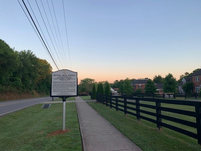
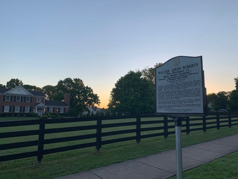
Location. 35° 55.073′ N, 86° 50.945′ W. Marker is in Franklin, Tennessee, in Williamson County. Marker is on Murfreesboro Road (Tennessee Route 96) 0.1 miles east of Ralston Lane, on the right when traveling west. Touch for map. Marker is at or near this postal address: 815 TN-96, Franklin TN 37064, United States of America. Touch for directions.
Other nearby markers. At least 8 other markers are within walking distance of this marker. Andrew C. Vaughn House (approx. 0.6 miles away); Harpeth River Restoration and Fish Passage (approx. 0.7 miles away); The Battle of Franklin (approx. 0.7 miles away); Fort Granger (approx. 0.8 miles away); a different marker also named Fort Granger (approx. 0.8 miles away); a different marker also named Fort Granger (approx. 0.8 miles away); Battle of Franklin, Eastern Flank (approx. 0.8 miles away); General Granger and Emancipation (approx. 0.8 miles away). Touch for a list and map of all markers in Franklin.
Credits. This page was last revised on December 1, 2020. It was originally submitted on June 11, 2020. This page has been viewed 653 times since then and 28 times this year. Last updated on November 30, 2020. Photos: 1, 2, 3, 4. submitted on June 11, 2020. 5, 6, 7. submitted on June 14, 2020. • Devry Becker Jones was the editor who published this page.
