Near State Park Place in Madison County, Illinois — The American Midwest (Great Lakes)
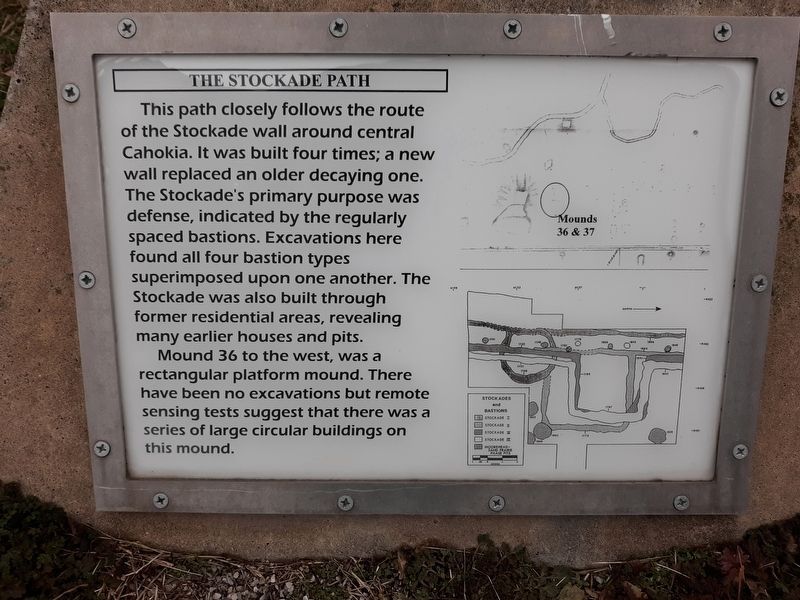
The Stockade Path
This path closely follows the route of the Stockade wall around central Cahokia. It was built four times; a new wall replaced an older decaying one. The Stockade's primary purpose was defense, indicated by the regularly spaced bastions. Excavations here found all four bastion types superimposed upon one another. The Stockade was also built through former residential areas, revealing many earlier houses and pits.
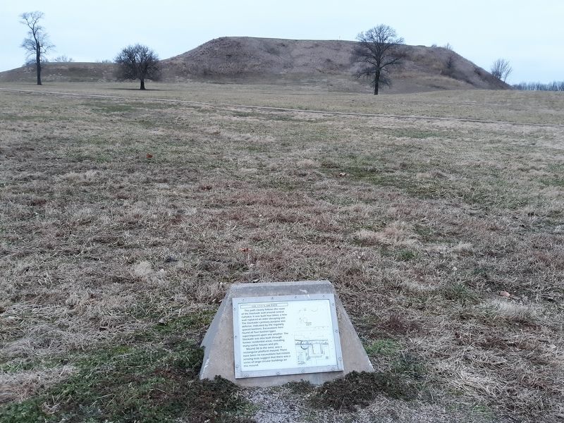
Mound 36 to the west, was a rectangular platform mound. There have been no excavations but remote sensing tests suggest that there was a series of large circular buildings on this mound.
Topics. This historical marker is listed in these topic lists: Anthropology & Archaeology • Forts and Castles • Native Americans.
Location. 38° 39.582′ N, 90° 3.542′ W. Marker is near State Park Place, Illinois, in Madison County. Marker is on Collins Lane, 0.1 miles north of Collinsville Road, on the left when traveling north. Touch for map. Marker is at or near this postal address: 8 Collins Ln, Collinsville IL 62234, United States of America. Touch for directions.
Other nearby markers. At least 8 other markers are within walking distance of this marker. Cahokia (within shouting distance of this marker); Stockade (about 300 feet away, measured in a direct line); Mound 51 (about 500 feet away); Monks Mound (about 600 feet away); Mound 50 (about 700 feet away); Monks Mound - Southwest Corner (about 800 feet away); Monks Mound - 4th Terrace (approx. 0.2 miles away); Monks Mound - South Ramp (approx. 0.2 miles away). Touch for a list and map of all markers in State Park Place.
Credits. This page was last revised on December 1, 2020. It was originally submitted on December 1, 2020, by Craig Doda of Napoleon, Ohio. This page has been viewed 93 times since then and 14 times this year. Photos: 1, 2, 3. submitted on December 1, 2020, by Craig Doda of Napoleon, Ohio. • Devry Becker Jones was the editor who published this page.


