Near State Park Place in St. Clair County, Illinois — The American Midwest (Great Lakes)
Mound 50
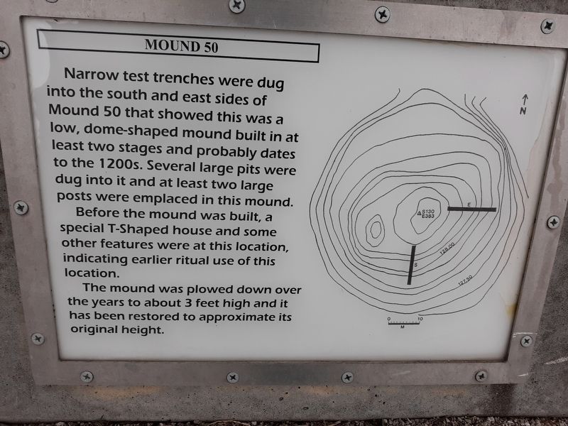
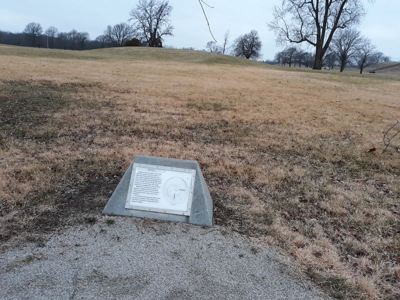
Narrow test trenches were dug into the south and east sides of Mound 50 that showed this was a low, dome-shaped mound built in at least two stages and probably dates to the 1200s. Several large pits were dug into it and at least two large posts were emplaced in this mound.
Before the mound was built, a special T-Shaped house and some other features were at this location, indicating earlier ritual use of this location.
The mound was plowed down over the years to about 3 feet high and it has been restored to approximate its original height.
Topics. This historical marker is listed in these topic lists: Anthropology & Archaeology • Churches & Religion • Native Americans.
Location. 38° 39.467′ N, 90° 3.533′ W. Marker is near State Park Place, Illinois, in St. Clair County. Marker is on Ramey Street just south of Collinsville Road, on the right when traveling south. Touch for map. Marker is at or near this postal address: 7936 Collinsville Rd, East Saint Louis IL 62201, United States of America. Touch for directions.
Other nearby markers. At least 8 other markers are within walking distance of this marker. Mound 51 (within shouting distance of this marker); Mound 55 (about 600 feet away, measured in a direct line); The Stockade Path (about 700 feet away); Monks Mound (about 800 feet away); Interpretive Center Tract (approx. 0.2 miles away); Cahokia (approx. 0.2 miles away); Grand Plaza (approx. 0.2 miles away); Stockade (approx. 0.2 miles away). Touch for a list and map of all markers in State Park Place.
Credits. This page was last revised on March 27, 2023. It was originally submitted on December 1, 2020, by Craig Doda of Napoleon, Ohio. This page has been viewed 96 times since then and 12 times this year. Photos: 1, 2, 3. submitted on December 1, 2020, by Craig Doda of Napoleon, Ohio. • Devry Becker Jones was the editor who published this page.


