Near Monroe in Amherst County, Virginia — The American South (Mid-Atlantic)
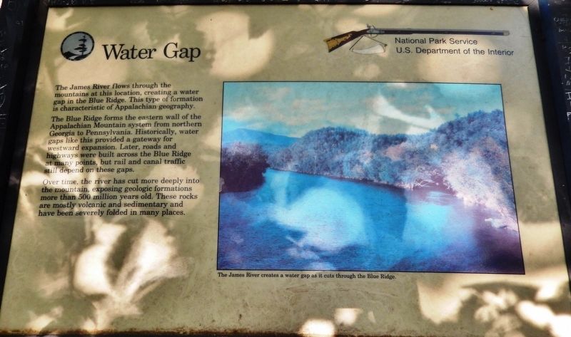
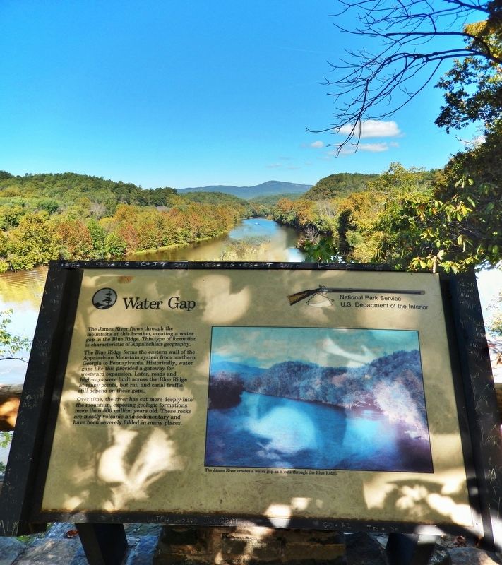
Water Gap
The Blue Ridge forms the eastern wall of the Appalachian Mountain system from northern Georgia to Pennsylvania. Historically, water gaps like this provided a gateway for westward expansion. Later, roads and highways were built across the Blue Ridge at many points, but rail and canal traffic still depend on these gaps.
Over time, the river has cut more deeply into the mountain, exposing geologic formations more than 500 million years old. These rocks are mostly volcanic and sedimentary and have been severely folded in many places.
Erected by National Park Service, U.S. Department of the Interior.
Topics. This historical marker is listed in these topic lists: Roads & Vehicles • Settlements & Settlers • Waterways & Vessels.
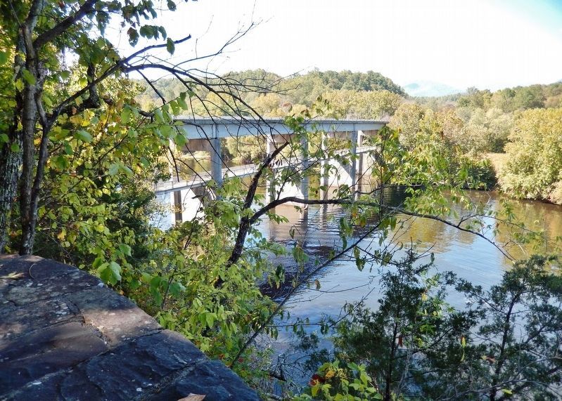
Location. 37° 33.345′ N, 79° 21.988′ W. Marker is near Monroe, Virginia, in Amherst County. Marker can be reached from Blue Ridge Parkway (at milepost 63.6), on the left when traveling north. Marker is located along the Trail of the Trees at the Blue Ridge Parkway James River Visitor Center, overlooking the James River. Touch for map. Marker is in this post office area: Monroe VA 24574, United States of America. Touch for directions.
Other nearby markers. At least 8 other markers are within 5 miles of this marker, measured as the crow flies. Harry F. Byrd Memorial Bridge (within shouting distance of this marker); James River (within shouting distance of this marker); Battery Creek Lock (within shouting distance of this marker); A Transportation Corridor (about 300 feet away, measured in a direct line); a different marker also named Battery Creek Lock (about 300 feet away); A Lock Canal / A Lift Lock (about 500 feet away); The Lock Gate (about 600 feet away); The Courage Of Frank Padget (approx. 5 miles away). Touch for a list and map of all markers in Monroe.

Photographed By Cosmos Mariner, October 3, 2017
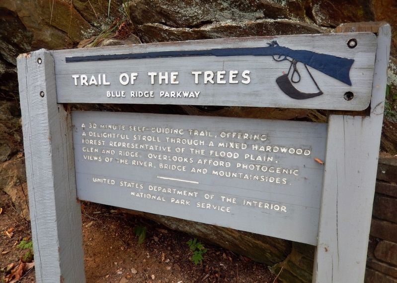
5. Trail of the Trees Marker
Credits. This page was last revised on December 4, 2020. It was originally submitted on December 2, 2020, by Cosmos Mariner of Cape Canaveral, Florida. This page has been viewed 196 times since then and 26 times this year. Photos: 1, 2, 3, 4, 5. submitted on December 4, 2020, by Cosmos Mariner of Cape Canaveral, Florida.


