Toccoa in Stephens County, Georgia — The American South (South Atlantic)
"Indian Rock"
Traveler's Rest State Historic Site
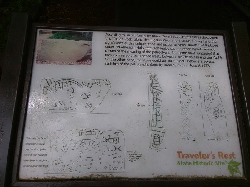
Photographed by Craig Doda, May 19, 2018
1. "Indian Rock" Marker
Topics. This historical marker is listed in these topic lists: African Americans • Anthropology & Archaeology • Indigenous Peoples and Communities. A significant historical month for this entry is August 1977.
Location. 34° 36.55′ N, 83° 14.317′ W. Marker is in Toccoa, Georgia, in Stephens County. It is on Riverdale Road just north of Manor Oak, on the right when traveling north. Touch for map. Marker is at or near this postal address: 4339 Riverdale Rd, Toccoa GA 30577, United States of America. Touch for directions.

Regionally, this marker
this page online
Other nearby markers. At least 8 other markers are within 4 miles of this marker, measured as the crow flies: Slavery at Traveler's Rest (within shouting distance of this marker); Jarrett Manor (within shouting distance of this marker); Traveler's Rest (within shouting distance of this marker); Traveler's Rest State Historic Site (within shouting distance of this marker); Historic Traveler's Rest (within shouting distance of this marker); Old Tugaloo Town (approx. 0.4 miles away); Colonel Benjamin Cleveland Monument (approx. 2.6 miles away in South Carolina); Tugalo Baptist Church and Cemetery (approx. 4 miles away). Touch for a list and map of all
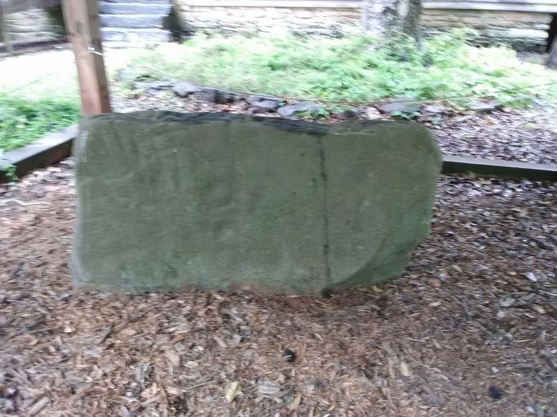
Photographed by Craig Doda, May 19, 2018
2. "Indian Rock"
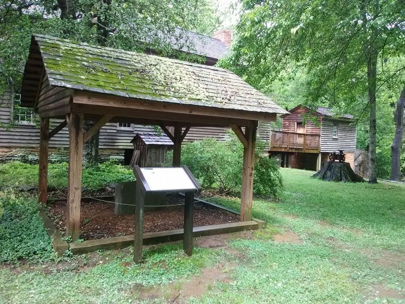
Photographed by Craig Doda, May 19, 2018
3. "Indian Rock" Marker
Credits. This page was last revised on December 3, 2020. It was originally submitted on December 3, 2020, by Craig Doda of Napoleon, Ohio. This page has been viewed 1,335 times since then and 98 times this year. Photos: 1, 2, 3. submitted on December 3, 2020, by Craig Doda of Napoleon, Ohio. • Devry Becker Jones was the editor who published this page.
