Iroquois in Louisville in Jefferson County, Kentucky — The American South (East South Central)
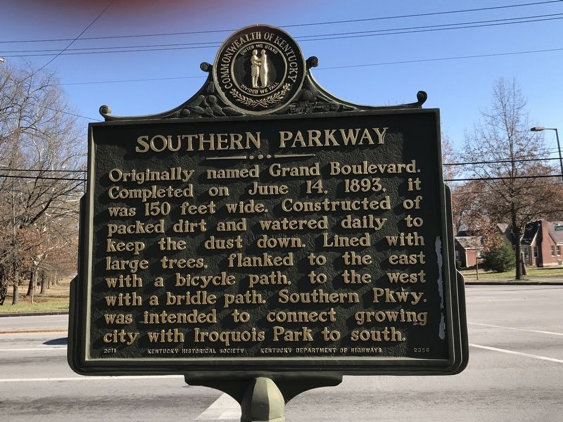
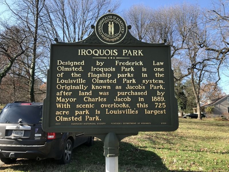
Southern Parkway / Iroquois Park
Erected 2011 by Kentucky Historical Society and Kentucky Department of Highways. (Marker Number 2356.)
Topics and series. This historical marker is listed in these topic lists: Parks & Recreational Areas • Roads & Vehicles. In addition, it is included in the Kentucky Historical Society series list. A significant historical date for this entry is June 14, 1893.
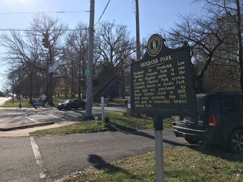
Location. 38° 10.194′ N, 85° 46.888′ W. Marker is in Louisville, Kentucky, in Jefferson County. It is in Iroquois. Marker is at the intersection of Taylor Boulevard and Marret Place, on the right when traveling south on Taylor Boulevard. Touch for map. Marker is in this post office area: Louisville KY 40215, United States of America. Touch for directions.
Other nearby markers. At least 8 other markers are within 3 miles of this marker, measured as the crow flies. Iroquois Amphitheater / Works Progress Admin., 1935-1943 (approx. 0.7 miles away); The Little Loomhouse / Happy Birthday to You (approx. ¾ mile away); Naval Ordnance Plant / Naval Ordnance Station, "Gunsmith to the Navy" (approx. 0.9 miles away); Douglas Park Racetrack (approx. 1.1 miles away); Kenwood Drive-In (approx. 1.3 miles away); Fenley Family / Fenley Family Cemetery (approx. 1.9 miles away); Wisertown / St. Andrew's Church Road (approx. 2 miles away); Ruff Memorial Wheelmen's Bench / Cycle Carnival 1897 (approx. 2.4 miles away). Touch for a list and map of all markers in Louisville.
Also see . . . Iroquois Park (Wikipedia). (Submitted on December 3, 2020, by Duane and Tracy Marsteller of Murfreesboro, Tennessee.)
Credits. This page was last revised on February 12, 2023. It was originally submitted on December 3, 2020, by Duane and Tracy Marsteller of Murfreesboro, Tennessee. This page has been viewed 550 times since then and 32 times this year. Photos: 1, 2, 3. submitted on December 3, 2020, by Duane and Tracy Marsteller of Murfreesboro, Tennessee.


