Angell in Ann Arbor in Washtenaw County, Michigan — The American Midwest (Great Lakes)
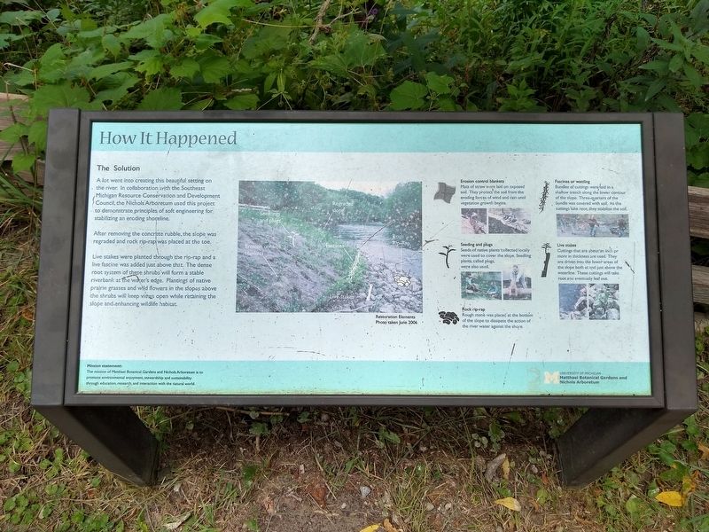
How It Happened
The Solution
A lot went into creating this beautiful setting on the river. In collaboration with the Southeast Michigan Resource Conservation and Development Council, the Nichols Arboretum used this project to demonstrate principles of soft engineering for stabilizing an eroding shoreline.
After removing the concrete rubble, the slope was regraded and rock rip-rap was placed at the toe.
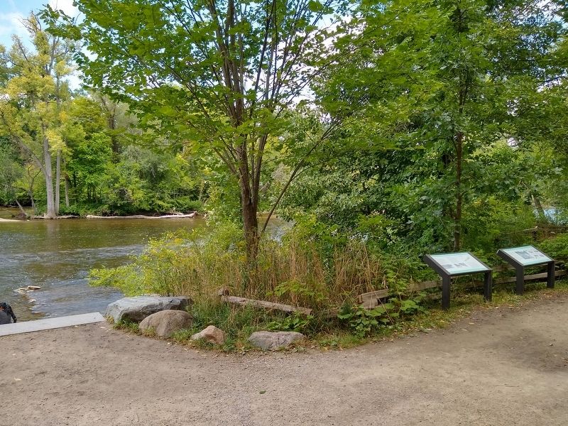
Live stakes were planted through the rip-rap and a live fascine was added just above that. The dense root system of these shrubs will form a stable riverbank at the water's edge. Plantings of native prairie grasses and wild flowers in the slopes above the shrubs will keep views open while retaining the slope and enhancing wildlife habitat.
Erosion control blankets
Mats of straw were laid on exposed soil. They protect the soil from the eroding forces of wind and rain until vegetation growth begins.
Seeding and plugs
Seeds of native plants collected locally were used to cover the slope. Seedling plants, called plugs, were also used.
Rock rip-rap
Rough stone was placed at the bottom of the slope to dissipate the action of the river water against the shore.
Fascines or wattling
Bundles of cuttings were laid in a shallow trench along the lower contour of the slope. Three-quarters of the bundle was covered with soil. As the cuttings take root, they stabilize the soil.
Live stakes
Cuttings that are about an inch or more in thickness are used. They are driven into the lower areas of the slope both at and just above the waterline. These cuttings will take root and eventually leaf out.
Mission statement:
The mission of Matthaei Botanical Gardens and Nichols Arboretum is to promote environmental enjoyment, stewardship and sustainability through education, research, and interaction with the natural world.
Erected by University of Michigan Matthaei Botanical Gardens and Nichols Arboretum.
Topics. This historical marker is listed in these topic lists: Environment • Parks & Recreational Areas.
Location. 42° 16.983′ N, 83° 43.209′ W. Marker is in Ann Arbor, Michigan, in Washtenaw County. It is in Angell. Marker can be reached from Washington Heights. Marker is in Nichols Arboretum at Riverfront Landing, approximately 0.4 miles from the Washington Heights entrance. Touch for map. Marker is at or near this postal address: 1610 Washington Heights, Ann Arbor MI 48104, United States of America. Touch for directions.
Other nearby markers. At least 8 other markers are within walking distance of this marker. Riverbank Rescue (here, next to this marker); Shagbark Hickory
(a few steps from this marker); White Willow (about 500 feet away, measured in a direct line); Weeping Japanese Cherry (approx. 0.2 miles away); Nichols Arboretum (approx. 0.6 miles away); Simpson Memorial Institute (approx. 0.6 miles away); Forest Hill (approx. 0.6 miles away); Washtenaw County War Memorial (approx. 0.7 miles away). Touch for a list and map of all markers in Ann Arbor.
Credits. This page was last revised on February 12, 2023. It was originally submitted on December 7, 2020, by Joel Seewald of Madison Heights, Michigan. This page has been viewed 81 times since then and 6 times this year. Photos: 1, 2, 3. submitted on December 7, 2020, by Joel Seewald of Madison Heights, Michigan.


