Crescent Hill in Louisville in Jefferson County, Kentucky — The American South (East South Central)
The Fair Grounds 1853-73
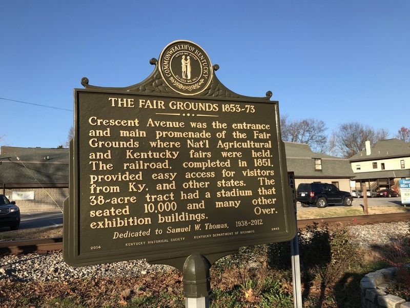
Photographed by Duane and Tracy Marsteller, November 28, 2020
1. The Fair Grounds 1853-73 Marker (Side A)
During the Civil War, the Fair Grounds were occupied by the Kentucky State Guard, and later by Union soldiers. By 1875, the land was subdivided into lots and sold. Beginning in 1895, the town of Crescent Hill was gradually annexed into the City of Louisville. Crescent Ave. remained a railroad stop for many years.
Erected 2014 by Kentucky Historical Society and Kentucky Department of Highways. (Marker Number 2443.)
Topics and series. This historical marker is listed in these topic lists: Parks & Recreational Areas • War, US Civil. In addition, it is included in the Kentucky Historical Society series list. A significant historical year for this entry is 1853.
Location. 38° 15.283′ N, 85° 41.2′ W. Marker is in Louisville, Kentucky, in Jefferson County. It is in Crescent
this page online

Regionally, this marker is in the American South, specifically in the Upper South, and in the Ohio River Valley. Globally, it is in North America, the Western Hemisphere, the Western World, and the Anglosphere. Historically, it finds itself in what was once the territory of the Mississippian Culture and also the Antebellum South.
Other nearby markers. At least 8 other markers are within one mile of this marker, measured as the crow flies: Filtration Plant / Reservoir and Gatehouse (approx. 0.4 miles away); Crescent Hill Reservoir and Gatehouse (approx. 0.4 miles away); Beechland (approx. 0.4 miles away); Mockingbird Valley (approx. 0.8 miles away); Early Blacksmith Shop (approx. 1.1 miles away); Spring Fort Built Before 1782 (approx. 1.1 miles away); St. Frances of Rome Church / Catholic & Clifton History (approx. 1.1 miles away); St. Frances of Rome School / Sisters of Charity of Nazareth
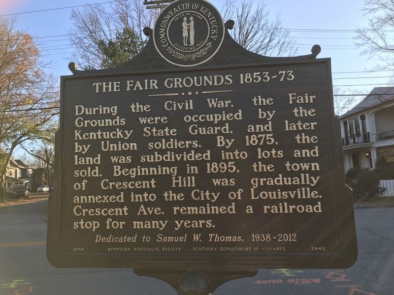
Photographed by Duane and Tracy Marsteller, November 28, 2020
2. The Fair Grounds 1853-73 Marker (Side B)
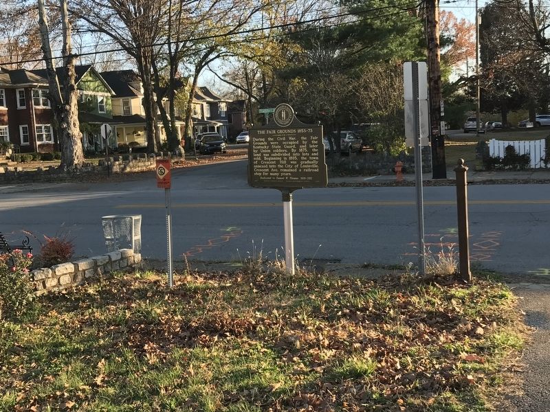
Photographed by Duane and Tracy Marsteller, November 28, 2020
3. The Fair Grounds 1853-73 Marker
Credits. This page was last revised on February 12, 2023. It was originally submitted on December 7, 2020, by Duane and Tracy Marsteller of Murfreesboro, Tennessee. This page has been viewed 884 times since then and 48 times this year. Photos: 1, 2. submitted on December 7, 2020, by Duane and Tracy Marsteller of Murfreesboro, Tennessee. 3. submitted on December 8, 2020, by Duane and Tracy Marsteller of Murfreesboro, Tennessee.
