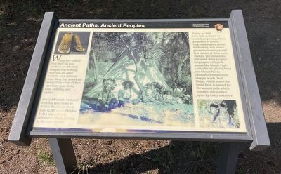
Ancient Paths, Ancient Peoples
— Rocky Mountain National Park —
Rocky Mountain National Park has been home to Native Americans for at least 12,000 years. Hidden Valley was a travel corridor for them, leading to the high country.
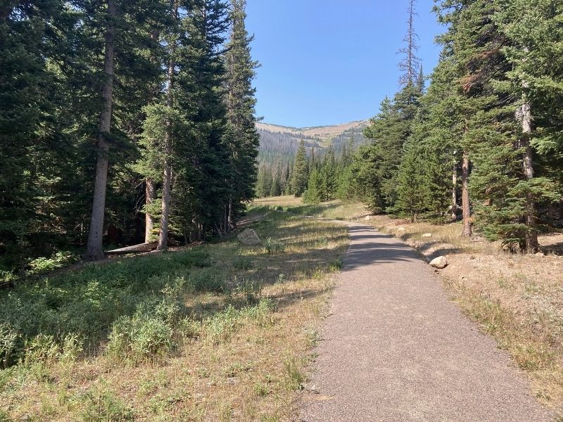
Today, we find very little evidence to mark their passing. Stone projectiles or points, rock-walled game drives for hunting, and sacred places for worship are all that remain of these early visitors. The mountains still speak these peoples’ languages with peak names like Mount Wuh (Arapaho for grizzly bear) and Mount Neota (Arapaho for mountain sheep’s heart). Trail Ridge, visible above the forest here, is named for the ancient path which remains, still walked upon by today’s visitors.
Erected by National Park Service, U.S. Department of the Interior.
Topics. This historical marker is listed in these topic lists: Native Americans • Parks & Recreational Areas.
Location. 40° 23.595′ N, 105° 39.438′ W. Marker is near Estes Park, Colorado, in Larimer County. Marker can be reached from Hidden Valley Road, 0.4 miles west
Other nearby markers. At least 8 other markers are within 6 miles of this marker, measured as the crow flies. Changing Times Bring Changing Uses (about 400 feet away, measured in a direct line); Horseshoe Park (approx. 0.6 miles away); Rocky Mountain’s “Parks” (approx. 1.4 miles away); Animals in Flux (approx. 2.2 miles away); The Woodpecker Army (approx. 2.4 miles away); Roger Wolcott Toll (approx. 3.8 miles away); Trail Ridge Road at Rock Cut (approx. 4.2 miles away); Rocky Mountain National Park Administration Building (approx. 5.4 miles away). Touch for a list and map of all markers in Estes Park.
Credits. This page was last revised on December 8, 2020. It was originally submitted on December 7, 2020, by Connor Olson of Kewaskum, Wisconsin. This page has been viewed 151 times since then and 10 times this year. Photos: 1, 2. submitted on December 7, 2020, by Connor Olson of Kewaskum, Wisconsin. • Mark Hilton was the editor who published this page.
Editor’s want-list for this marker. Wide shot of marker in context with surroundings. • Can you help?

