Near Stanton in Mercer County, North Dakota — The American Midwest (Upper Plains)
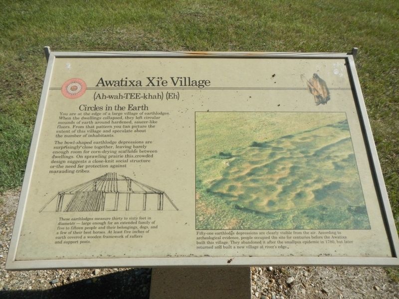
Awatixa Xi'e Village
(Ah-wah-TEE-khah) (Eh)
Photographed by Barry Swackhamer, August 28, 2020
1. Awatixa Xi'e Village Marker
Captions: (lower left) These earthlodges measure thirty to sixty feet in diameter - large enough for an extended family of five to fifteen people and their belongings, dogs, and a few of their best horses. At least five inches of earth covered a wooden framework of rafters and support posts.; (right) Fifty-one earthlodge depressions are clearly visible from the air. According to archaeological evidence, people occupied the site for centuries before the Awatixa built this village. They abandoned it after the smallpox epidemic of 1780, but later returned and built a new village at river's edge.
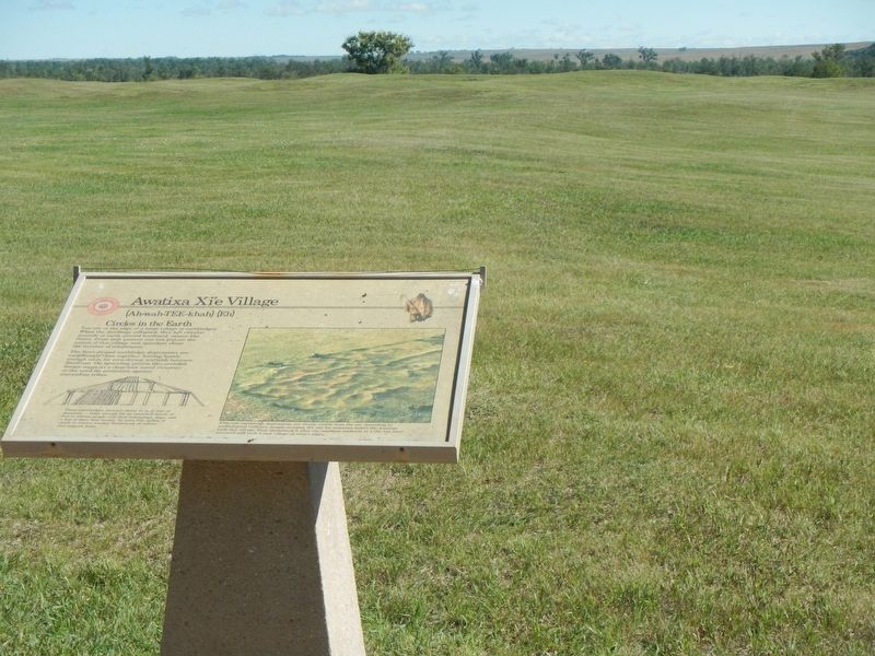
You are at the edge of a large village of earthlodges. When the dwellings collapsed, they left circular mounds of earth around hardened saucer-like floors. From that pattern you can picture the extent of this village and speculate about the number of inhabitants.
The bowl-shaped earthlodge depressions are surprisingly close together, leaving barely enough room for corn-drying scaffolds between dwellings. On sprawling prairie this crowded design suggests a close-knit social structure or the need for protection against marauding tribes.
Erected by Department of the Interior, National Parks Service.
Topics. This historical marker is listed in these topic lists: Anthropology & Archaeology • Indigenous Peoples and Communities.
Location. 47° 19.998′ N, 101° 23.025′ W. Marker is near Stanton, North Dakota, in Mercer County. It can be reached from County Highway 37 near 6th Street Southwest, on the right when traveling north. This marker is located on the Knife River Indian Villages Village Trail. Touch for map. Marker is at or near this
this page online

Regionally, this marker is in the Mandan, Hidatsa, and Arikara Nation, in the Standing Rock Sioux Tribe, and on the Missouri Plateau. It is also in the American Lewis & Clark Corridor, on the prairies, and on the Northern Plains. Globally, it is in North America, the Western Hemisphere, the Western World, and the Anglosphere. Historically, it finds itself in what was once Rupert’s Land and also the Louisiana Purchase.
Other nearby markers. At least 8 other markers are within walking distance of this marker: Middens (about 400 feet away, measured in a direct line); Hidatsa Garden (about 600 feet away); Lewis & Clark at the Knife River Indian Villages (about 600 feet away); Tobacco (approx. 0.2 miles away); Feeding the River (approx. 0.4 miles away); Awatixa Village (approx. 0.4 miles away); Cutbank Archeaology (approx. 0.4 miles away); River-Centered (approx. half a mile away). Touch for a list and map of all markers in Stanton.
Photographed by Barry Swackhamer, August 28, 2020
2. Awatixa Xi'e Village Marker
Photographed by George Catlin
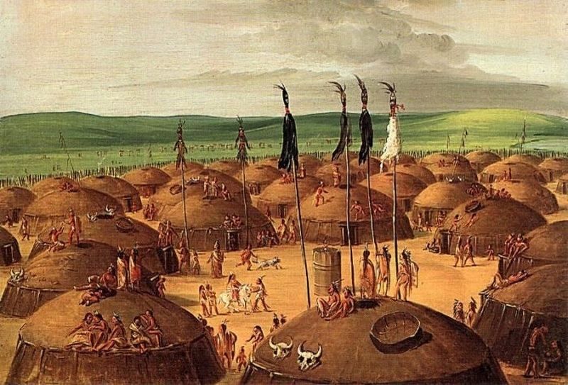
3. Hidatsa Village by George Catlin
Photographed by Wikipedia
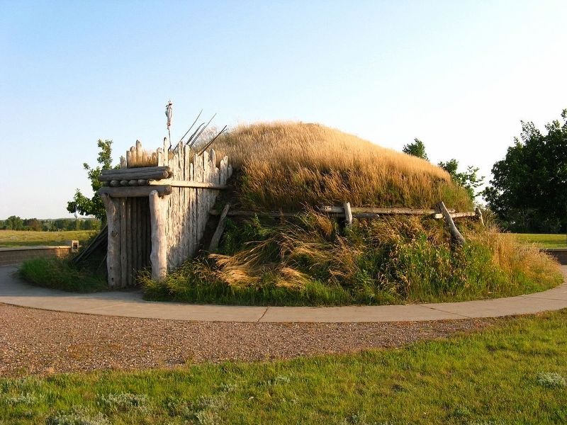
4. Recreation of a Hidatsa Earthlodge at Knife River Indian Villages Historic Site
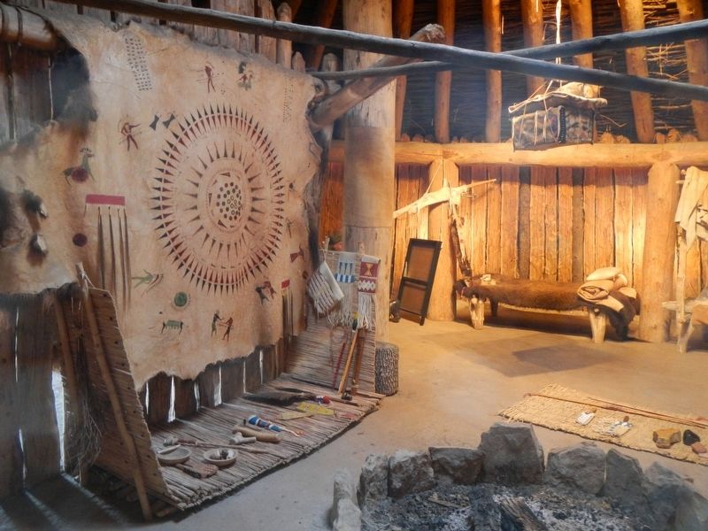
Photographed by Barry Swackhamer, August 28, 2020
5. Hidatsa Earthlodge, interior
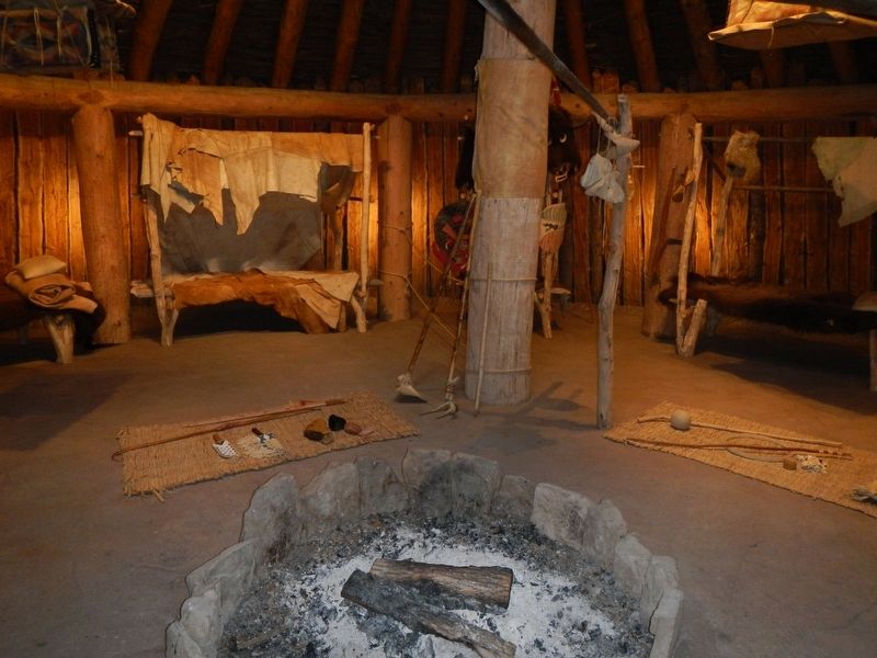
Photographed by Barry Swackhamer, August 28, 2020
6. Hidatsa Earthlodge, interior
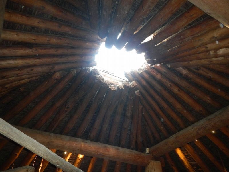
Photographed by Barry Swackhamer, August 28, 2020
7. Hidatsa Earthlodge, interior
Credits. This page was last revised on December 23, 2020. It was originally submitted on December 10, 2020, by Barry Swackhamer of Brentwood, California. This page has been viewed 377 times since then and 30 times this year. Photos: 1, 2, 3, 4, 5, 6, 7. submitted on December 10, 2020, by Barry Swackhamer of Brentwood, California.
