Near Stanton in Mercer County, North Dakota — The American Midwest (Upper Plains)
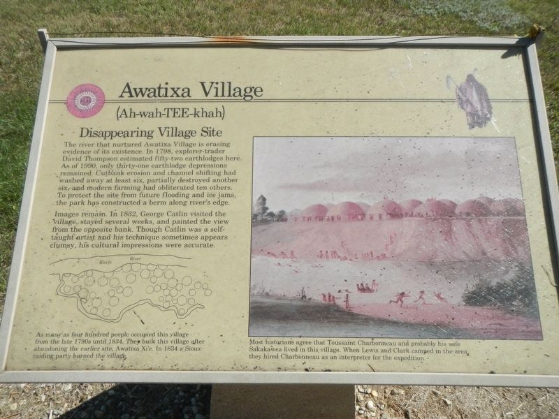
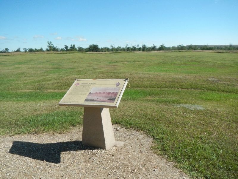
Awatixa Village
(Ah-wah-TEE-khah) (Eh)

Photographed By Barry Swackhamer, August 28, 2020
1. Awatixa Village Marker
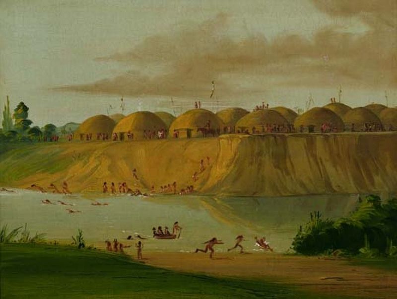
Captions: (bottom left) As many as four hundred people occupied this village from the late 1790s until 1834. They built this village after abandoning the earlier site, Awatixa Xi'e. In 1834 a Sioux raiding party burned the village.; (right) Most historians agree that Toussaint Charbonneau and probably his wife Sakakawea lived in this village. When Lewis and Clark camped in the area they hired Charbonneau as an interpreter for the expedition.
Images remain. In 1832, George Catlin visited the village, stayed several weeks, and painted the view from the opposite bank. Though Catlin was a self-taught artist and his technique sometimes appears clumsy, his cultural impressions were accurate.
Erected by Department of the Interior, National Parks Service.
Topics and series. This historical marker is listed in these topic lists: Anthropology & Archaeology • Native Americans. In addition, it is included in the Lewis & Clark Expedition series list.
Location. 47° 20.372′ N, 101° 22.982′ W. Marker is near Stanton, North Dakota, in Mercer County. Marker can be reached from County Road 37 near 6th Street Southwest, on the right when traveling north. Touch for map. Marker is in this post office area: Stanton ND 58571, United States of America. Touch for directions.
Other nearby markers. At least 8 other markers are within walking distance of this marker. Cutbank Archeaology (sic) (about 300 feet away, measured in a direct line); River-Centered (about 300 feet away); Feeding the River (about 600 feet away); Middens (approx. 0.4 miles away); Awatixa Xi'e Village (approx. 0.4 miles away); Hidatsa Garden (approx. half a mile away); Lewis & Clark at the Knife River Indian Villages (approx. half a mile away); Tobacco (approx. 0.6 miles away). Touch for a list and map of all markers in Stanton.
Regarding Awatixa Village. This marker is located on the Knife River Indian Villages Village Trail.
Credits. This page was last revised on December 11, 2020. It was originally submitted on December 11, 2020, by Barry Swackhamer of Brentwood, California. This page has been viewed 120 times since then and 13 times this year. Photos: 1, 2, 3. submitted on December 11, 2020, by Barry Swackhamer of Brentwood, California.

