Near Stanton in Mercer County, North Dakota — The American Midwest (Upper Plains)
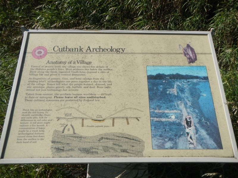
Cutbank Archeaology (sic)

Photographed By Barry Swackhamer, August 28, 2020
1. Cutbank Archeaology (sic) Marker
Caption: (bottom left) Think like an archeologist: read the soil layers. To identify earthlodge floors and cache pits, look for differences in soil color and texture. A red stain might indicate a fire hearth. A concentration of bones might be a trash heap. Archeological features extend three feet down from the surface of the dark band of soil.
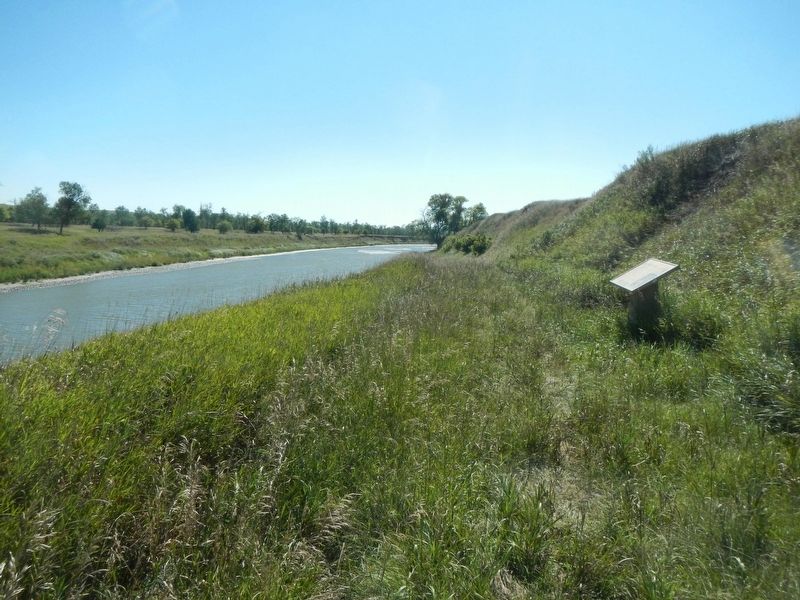
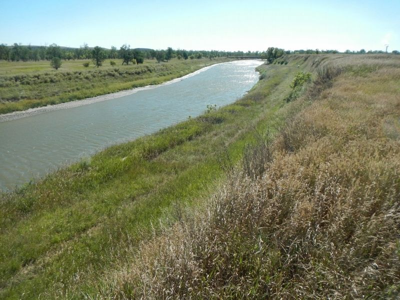
Viewed at prairie level, the village site shows few details of the Hidatsa people's lives. Most evidence lies below the surface. Here along the bank, repeated floods have exposed a slice of village life and given it vertical dimension.
As fragments of pottery, flint, and bone emerge fro the eroding bluff, archeologists can piece together a day in the life of the village. Bones tell what the people hunted, skinned, and ate: antelope, plains grizzly, elk, buffalo, and deer. Bone tools reveal not just technology, but activity.
Taken from contest, the artifacts become worthless - difficult to date or interpret. Please leave all site undisturbed. These cultural resources are protected by Federal law.
Erected by Department of the Interior, National Parks Service.
Topics. This historical marker is listed in these topic lists: Anthropology & Archaeology • Native Americans.
Location. 47° 20.379′ N, 101° 22.902′ W. Marker is near Stanton, North Dakota, in Mercer County. Marker can be reached from State Road 37 near 6th Street Southwest, on the right when traveling north. This marker is located on the Knife River Indian Villages Village Trail. Touch for map. Marker is in this post office area: Stanton ND 58571, United States of America. Touch for directions.
Other nearby markers. At least 8 other markers are within walking distance of this marker. Feeding the River (about 300 feet away, measured in a direct line); Awatixa Village (about 300 feet away); River-Centered (about 400 feet away); Middens (approx. 0.4 miles away); Awatixa Xi'e Village (approx. 0.4 miles away); Hidatsa Garden (approx. 0.6 miles away); Lewis & Clark at the Knife River Indian Villages (approx. 0.6 miles away); Tobacco (approx. 0.6 miles away). Touch for a list and map of all markers in Stanton.
Credits. This page was last revised on December 11, 2020. It was originally submitted on December 11, 2020, by Barry Swackhamer of Brentwood, California. This page has been viewed 81 times since then and 12 times this year. Photos: 1, 2, 3. submitted on December 11, 2020, by Barry Swackhamer of Brentwood, California.

