Blacksburg in Montgomery County, Virginia — The American South (Mid-Atlantic)
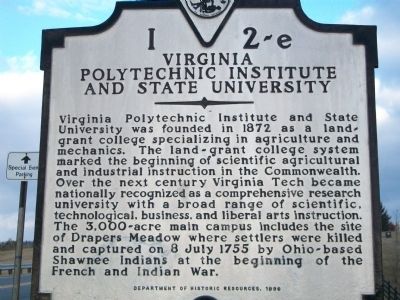
Virginia Polytechnic Institute and State University
Inscription.
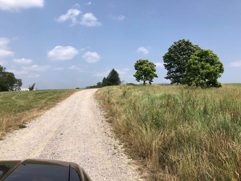
Virginia Polytechnic Institute and State University was founded in 1872 as a land-grant college specializing in agriculture and mechanics. The land-grant college system marked the beginning of scientific agricultural and industrial instruction in the Commonwealth. Over the next century Virginia Tech became nationally recognized as a comprehensive research university with a broad range of scientific, technological, business, and liberal arts instruction. The 3,000-acre main campus includes the site of Drapers Meadow where settlers were killed and captured on 8 July 1755 by Ohio-based Shawnee Indians at the beginning of the French and Indian War.
Erected 1996 by Department of Historic Resources. (Marker Number I 2-e.)
Topics and series. This historical marker is listed in these topic lists: Education • Notable Events • War, French and Indian. In addition, it is included in the Virginia Department of Historic Resources (DHR) series list. A significant historical date for this entry is July 8, 1755.
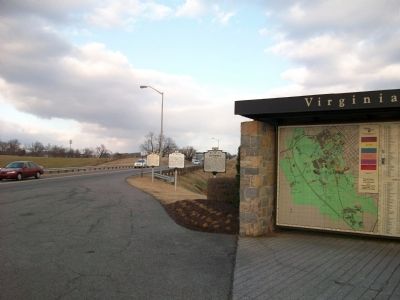
Location. 37° 12.643′ N, 80° 25.566′ W. Marker is in Blacksburg, Virginia, in Montgomery County. Marker is on Southgate Drive north of Bypass U.S. 460, on the right when traveling north. Touch for map. Marker is in this post office area: Blacksburg VA 24061, United States of America. Touch for directions.
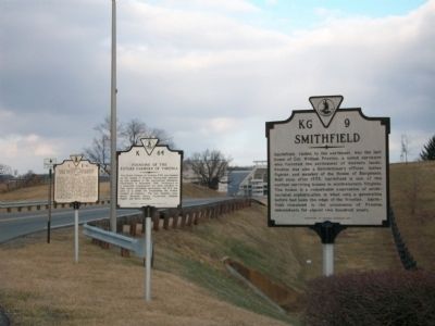
Other nearby markers. At least 8 other markers are within walking distance of this marker. Founding of the Future Farmers of Virginia (here, next to this marker); Smithfield (here, next to this marker); Cemetery Landscape (approx. 0.4 miles away); Preston Cemetery (approx. 0.4 miles away); William Ballard Preston (approx. 0.6 miles away); Revolutionary War Patriots (approx. 0.6 miles away); Liberty and Justice for All (approx. 0.6 miles away); 1820 Slave Cabin (approx. 0.6 miles away). Touch for a list and map of all markers in Blacksburg.
More about this marker. Marker was moved 500 yds south from its original location (GPS 37.21455, -80.42802) when Southgate Drive was reconfigured.
Related marker. Click here for another marker that is related to this marker. To better understand the relationship, study the marker shown.
Also see . . . Virginia Tech. (Submitted on February 18, 2009, by Kathy Walker of Stafford, Virginia.)
Photographed By Duane and Tracy Marsteller, June 17, 2023
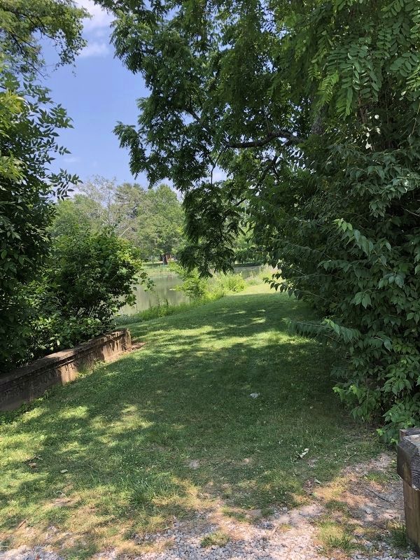
5. Draper's Meadow
View of the former meadow (now known as the Duck Pond) from a walkway between the Virginia Tech golf course clubhouse and the pond. On the partially buried concrete wall to the left is inscribed "The Draper's Meadow Massacre" and "July 8, 1755."
Photographed By Duane and Tracy Marsteller, June 17, 2023
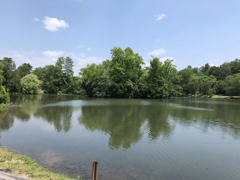
6. The "Duck Pond"
Once the site of the Draper's Meadows settlement, it consists of two connected ponds. The upper pond was created in 1881 and was used as an ice pond until 1898, when the first on-campus refrigeration plant was built. The lower pond was proposed by an engineering student for his undergraduate thesis in 1913, but wasn't built until 1937 as part of a different construction project.
Credits. This page was last revised on July 16, 2023. It was originally submitted on February 18, 2009, by Kathy Walker of Stafford, Virginia. This page has been viewed 952 times since then and 17 times this year. Photos: 1, 2, 3, 4. submitted on February 18, 2009, by Kathy Walker of Stafford, Virginia. 5, 6, 7. submitted on July 14, 2023, by Duane and Tracy Marsteller of Murfreesboro, Tennessee. • Kevin W. was the editor who published this page.
