Downtown Los Angeles in Los Angeles County, California — The American West (Pacific Coastal)
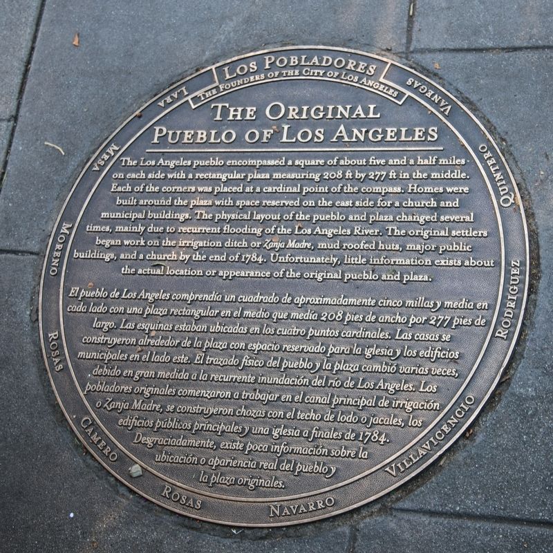
The Original Pueblo of Los Angeles
Los Pobladores
— The Founders of the City of Los Angeles —
Lara · Mesa · Moreno · Rosas · Camero · Rosas · Navarro · Villavicencio · Rodriguez · Quintero · Vanegas
Lara · Mesa · Moreno · Rosas · Camero · Rosas · Navarro · Villavicencio · Rodriguez · Quintero · Vanegas
El pueblo de Los Angeles comprendía un cuadrado de aproximadamente cinco millas y media en cada lado con una plaza rectangular en el medio que medía 208 pies de ancho por 277 pies de largo. Las esquinas estaban ubicadas en los cuatro puntos cardinales. Las casas se construyeron alrededor de la plaza con espacio reservado para la iglesia y los edificios municipales en el lado este. El trazado físico del pueblo y la plaza cambió varias veces, debido en gran medida a la recurrente inundación del río de Los Angeles. Los pobladores orignales comenzaron a trabajar en el canal principal de irrigación or Zanja Madre, se construyeron chozas con el techo de lodo o jacales, los edificion públicos príncipales y una iglesia a finales de 1784. Desgraciadamente, existe poca información sobre la ubicación o apariencia real del pueblo y la plaza originales.
Topics. This historical marker is listed in these topic lists: Colonial Era • Hispanic Americans • Settlements & Settlers. A significant historical year for this entry is 1814.
Location. 34° 3.411′ N, 118° 14.329′ W. Marker is in Los Angeles, California, in Los Angeles County. It is in Downtown Los Angeles. Marker is at the intersection of North Main Street and Paseo Luis Olivares and Paseo de la Plaza on North Main Street. Touch for map. Marker is in this post office area: Los Angeles CA 90012, United States of America. Touch for directions.
Other nearby markers. At least 8 other markers are within walking distance of this marker. Spanish Expeditions Into Southern California (a few steps from this marker); First Mayor of Los Angeles Under United States Rule (a few steps from this marker); Christine Sterling (a few steps from this marker); Felipe de Neve, 1728–84 (a few steps from this marker); The Founders of El Pueblo de Los Angeles (a few steps from this marker); Los Angeles Plaza (within shouting distance of this marker); Yangna (within shouting distance of this marker); Simpson/Jones Building (within shouting distance of this marker). Touch for a list and map of all markers in Los Angeles.
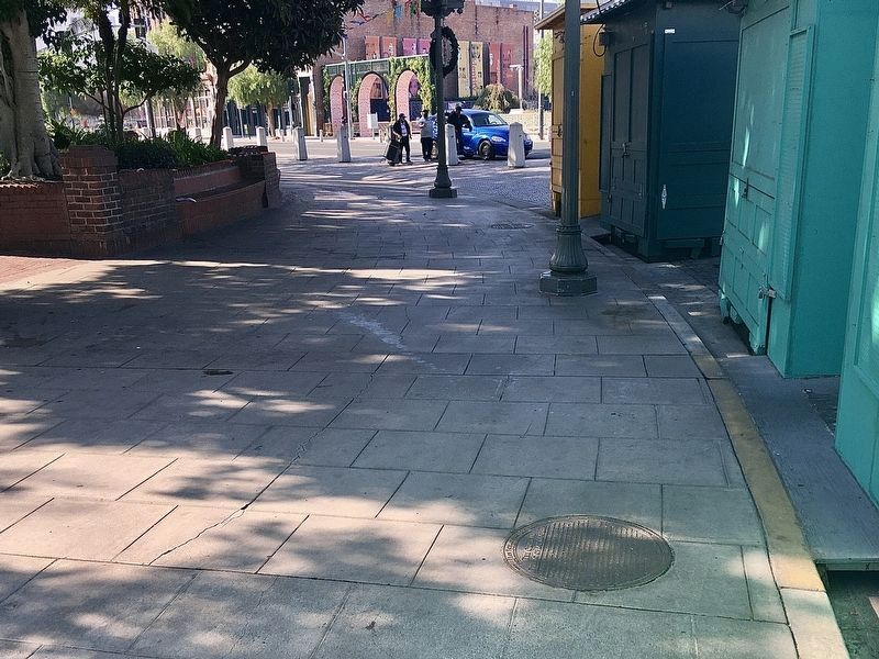
More about this marker. It is embedded in the sidewalk at the edge of the plaza.
Credits. This page was last revised on January 30, 2023. It was originally submitted on December 19, 2020, by J. J. Prats of Powell, Ohio. This page has been viewed 281 times since then and 71 times this year. Photos: 1. submitted on December 19, 2020, by J. J. Prats of Powell, Ohio. 2. submitted on January 5, 2021, by Craig Baker of Sylmar, California.

