
Marker Logo
THE HISTORICAL
MARKER DATABASE
“Bite-Size Bits of Local, National, and Global History”
Near Ararat in Patrick County, Virginia — The American South (Mid-Atlantic)
 

The Slave Graveyard
 
 
The Slave Graveyard Marker image. Click for full size.
Photographed by Craig Doda, July 26, 2020
1. The Slave Graveyard Marker
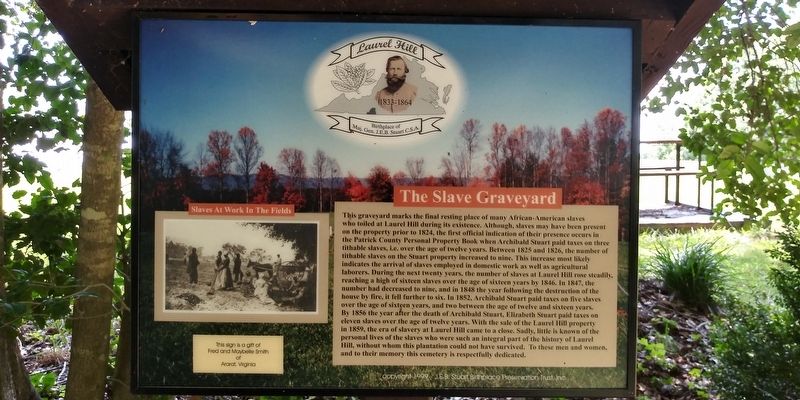
Inscription. This graveyard marks the final resting place of many African-American slaves who toiled at Laurel Hill during its existence. Although, slaves may have been present on the property prior to 1824, the first official indication of their presence occurs in the Patrick County Personal Property Book when Archibald Stuart paid taxes on three tithable slaves, i.e. over the age of twelve years. Between 1825 and 1826, the number of tithable slaves on the Stuart property increased to nine. This increase most likely indicates the arrival of slaves employed in domestic work as well as agricultural laborers. During the next twenty years, the number of slaves at Laurel Hill rose steadily, reaching a high of sixteen slaves over the age of sixteen years by 1846. In 1847, the number had decreased to nine, and in 1848 the year following the destruction of the house by fire, it fell further to six. In 1852, Archibald Stuart paid taxes on five slaves over the age of sixteen years, and two between the age of twelve and sixteen years. By 1856 the year after the death of Archibald Stuart, Elizabeth Stuart paid taxes on eleven slaves over the
Paid Advertisement
Click or scan to see
this page online
age of twelve years. With the sale of the Laurel Hill property in 1859, the era of slavery at Laurel Hill came to a close. Sadly, little is known of the personal lives of the slaves who were such an integral part of the history of Laurel Hill, without whom this plantation could not have survived. To these men and women, and to their memory this cemetery is respectfully dedicated.
 
Erected 1999.
 
Topics. This historical marker is listed in these topic lists: African AmericansAgricultureCemeteries & Burial Sites. A significant historical year for this entry is 1824.
 
Location. 36° 33.883′ N, 80° 33.25′ W. Marker is near Ararat, Virginia, in Patrick County. It is on Ararat Highway (Virginia Route 773) half a mile south of State Line Road, on the right when traveling west. The marker is on the grounds of Laurel Hill - Birthplace & Boyhood Home Of J.E.B. Stuart. Touch for map. Marker is in this post office area: Ararat VA 24053, United States of America. Touch for directions.

Regionally, this marker is in Southern Virginia and in the Blue Ridge Highlands. It is also in the American South, specifically in the Upper South,
The Slave Graveyard Marker image. Click for full size.
Photographed by Craig Doda, July 26, 2020
2. The Slave Graveyard Marker
in Appalachia, and specifically in Southern Appalachia. Globally, it is in North America, the Western Hemisphere, the Western World, and the Anglosphere. Historically, it finds itself in what was once the territory of the Mississippian Culture, one of the original Thirteen Colonies, one of the Confederate States of America, and the Antebellum South.

Other nearby markers. At least 8 other markers are within walking distance of this marker: The Letcher Overlook (within shouting distance of this marker); Native Americans At Laurel Hill (within shouting distance of this marker); The Stuart Kitchen (about 400 feet away, measured in a direct line); The Battle of Yellow Tavern (about 400 feet away); Mountain Road (about 400 feet away); Beaver Dam Station (about 400 feet away); The Death of Col. Henry Clay Pate (about 400 feet away); May 1864, Union Overload Campaign (about 500 feet away). Touch for a list and map of all markers in Ararat.
 
Additional keywords. slave labor, slavery
 
The Slave Graveyard Marker image. Click for full size.
Photographed by Craig Doda, July 26, 2020
3. The Slave Graveyard Marker
The Slave Graveyard Marker image. Click for full size.
Photographed by Craig Doda, July 26, 2020
4. The Slave Graveyard Marker
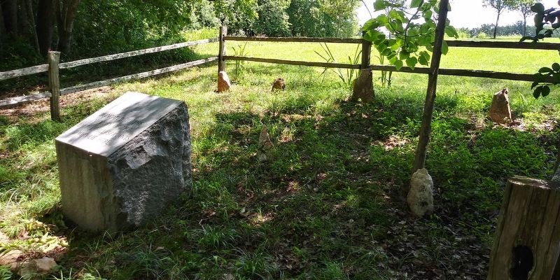
The Slave Graveyard Marker image. Click for full size.
Photographed by Craig Doda, July 26, 2020
5. The Slave Graveyard Marker
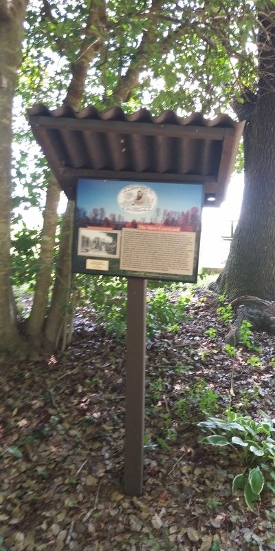
The Slave Graveyard Marker image. Click for full size.
Photographed by Craig Doda, July 26, 2020
6. The Slave Graveyard Marker
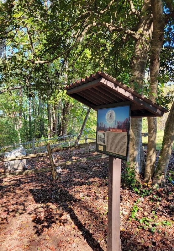
The Slave Graveyard Marker image. Click for full size.
Photographed by C. Ryan Dodson, October 4, 2025
7. The Slave Graveyard Marker
Slave Memorial image. Click for full size.
Photographed by C. Ryan Dodson, October 4, 2025
8. Slave Memorial
 
 
Credits. This page was last revised on April 13, 2026. It was originally submitted on December 19, 2020, by Craig Doda of Napoleon, Ohio. This page has been viewed 620 times since then and 32 times this year. Photos:   1, 2, 3, 4, 5, 6. submitted on December 19, 2020, by Craig Doda of Napoleon, Ohio.   7, 8. submitted on April 10, 2026, by C. Ryan Dodson of Danville, Virginia. • Devry Becker Jones was the editor who published this page.

m=162895

CeraNet Cloud Computing sponsors the Historical Marker Database.
This website earns income from purchases you make after using our links to Amazon.com. We appreciate your support.
Paid Advertisement
Jul. 14, 2026