Bolivar in Tuscarawas County, Ohio — The American Midwest (Great Lakes)
Excavation
Fort Laurens
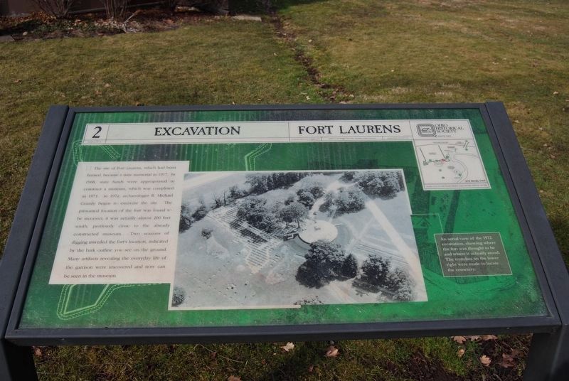
Photographed by Mike Wintermantel, March 15, 2015
1. Excavation Marker
Erected by Ohio Historical Society. (Marker Number 2.)
Topics and series. This historical marker is listed in these topic lists: Anthropology & Archaeology • Forts and Castles • War, French and Indian. In addition, it is included in the Ohio Historical Society / The Ohio History Connection series list. A significant historical year for this entry is 1917.
Location. 40° 38.391′ N, 81° 27.309′ W. Marker is in Bolivar, Ohio, in Tuscarawas County. It can be reached from Fort Laurens Road Northwest. Located on the
this page online

Regionally, this marker is in Amish Country. It is also in the American Midwest, in Appalachia, and specifically in Northern Appalachia. Globally, it is in North America, the Western Hemisphere, the Western World, and the Anglosphere. Historically, it finds itself in what was once the Haudenosaunee (Iroquois) Confederacy, the territory of the Mississippian Culture, and the Northwest Territory.
Other nearby markers. At least 8 other markers are within walking distance of this marker: Northwest Bastion (a few steps from this marker); Barracks (a few steps from this marker); Blockhouse (within shouting distance of this marker); Fort Laurens (within shouting distance of this marker); Introduction (within shouting distance of this marker); Hospital (within shouting distance of this marker); Unknown Soldier (within shouting distance of this marker); Cemetery (within shouting distance of this marker). Touch for a list and map of all markers in Bolivar.
Also see . . . Fort Laurens - Ohio History Connection.
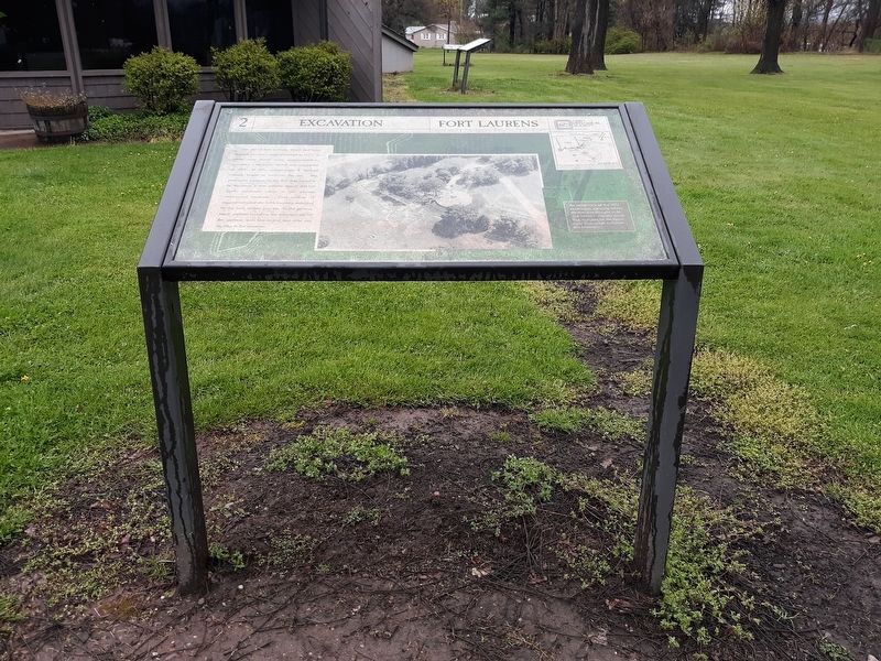
Photographed by Craig Doda, April 26, 2020
2. Excavation Marker
Photographed by Craig Doda, April 26, 2020
3. Sign at the entrance of Fort Laurens Historic Site
Credits. This page was last revised on January 27, 2021. It was originally submitted on December 21, 2020, by Mike Wintermantel of Pittsburgh, Pennsylvania. This page has been viewed 370 times since then and 37 times this year. Photos: 1. submitted on December 21, 2020, by Mike Wintermantel of Pittsburgh, Pennsylvania. 2, 3. submitted on January 27, 2021, by Craig Doda of Napoleon, Ohio.
