The Circle Mound
[Mounds State Park]
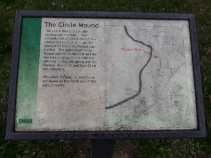
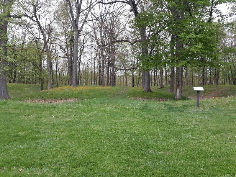
The Circle Mound is actually rectangular in shape. The embankment of Circle Mound was completed about A.D. 1, or 250 years after the Great Mound was started. The gateway of Circle Mound opened to the east and the sun rose directly in line with the gateway during the spring and fall equinox (March 21 and Sept 21 on our calendar).
Two other rectangular enclosures
are found on the north end of the
park property.
Erected by Indiana Native American Indian Affairs Commission.
Topics. This historical marker is listed in these topic lists: Anthropology & Archaeology • Native Americans. A significant day of the year for for this entry is September 21.
Location. 40° 6.167′ N, 85° 37.117′ W. Marker is in Chesterfield, Indiana, in Madison County. Marker can be reached from Mounds Road (Indiana Route 232) one mile north of Donnelly Road (Local Road E100S), on the right when traveling south. Touch for map. Marker is at or near this postal address: 4306 Mounds Rd, Anderson IN 46017, United States of America. Touch for directions.
Other nearby markers. At least 8 other markers are within 2 miles of this marker, measured as the crow flies. The Great Mound (approx. 0.4 miles away); The Mounds Dugout Canoe (approx. half a mile away); Indiana State Parks: the First 100 Years (approx. half a mile away); Native American Memorial (approx.
Credits. This page was last revised on December 21, 2020. It was originally submitted on December 21, 2020, by Craig Doda of Napoleon, Ohio. This page has been viewed 228 times since then and 26 times this year. Photos: 1, 2. submitted on December 21, 2020, by Craig Doda of Napoleon, Ohio. • Devry Becker Jones was the editor who published this page.

