Strawtown in Hamilton County, Indiana — The American Midwest (Great Lakes)
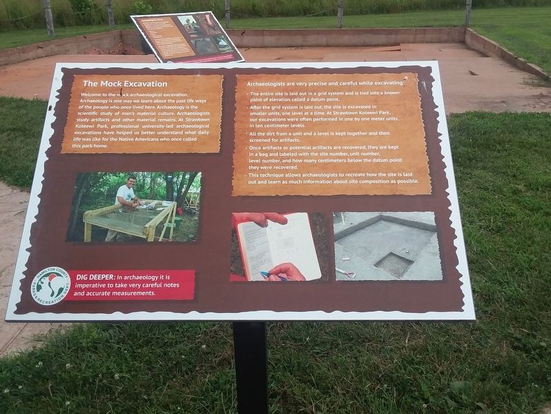
The Mock Excavation
— Strawtown Koteewi Park —
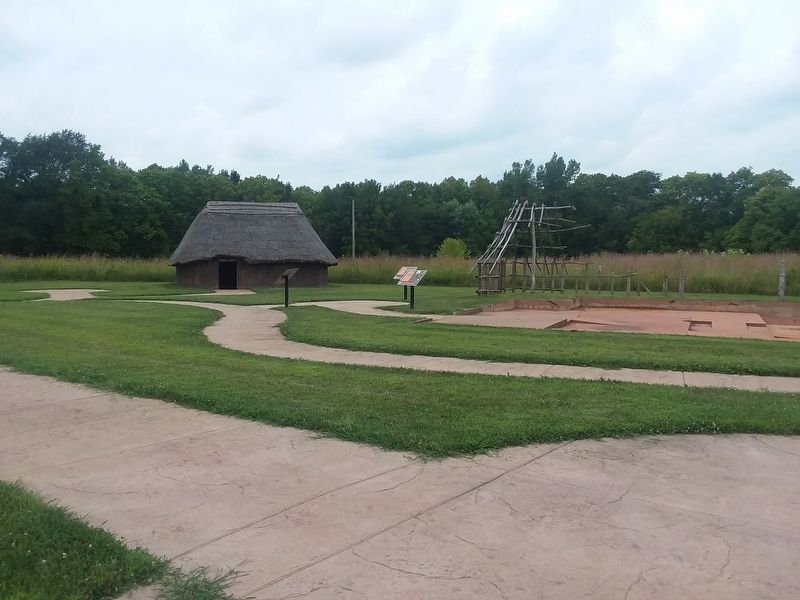
Welcome to the mock archaeological excavation. Archaeology is one way we learn about the past life ways of the people who once lived here. Archaeology is the scientific study of man's material culture. Archaeologists study artifacts and other material remains. At Strawtown Koteewi Park, professional university-led archaeological excavations have helped us better understand what daily life was like for the Native Americans who once called this park home.
Archaeologists are very precise and careful while excavating:
• The entire site is laid out in a grid system and is tied into a known point of elevation called a datum point.
• After the grid system is laid out, the site is excavated in smaller units, one level at a time. At Strawtown Koteewi Park, our excavations were often performed in one by one meter units, in ten centimeter levels.
• All the dirt from a unit and a level is kept together and then screened for artifacts.
• Once artifacts or potential artifacts are recovered, they are kept in a bag and labeled with the site number, unit number, level number, and how many centimeters below the datum point they were recovered.
• This technique allows archaeologists to recreate how the site is laid out and learn as much information about site composition as possible.
Erected by Hamilton County Parks & Recreation Dept.
Topics. This historical marker is listed in these topic lists: Anthropology & Archaeology • Native Americans • Parks & Recreational Areas.
Location. 40° 7.582′ N, 85° 57.016′ W. Marker is in Strawtown, Indiana, in Hamilton County. Marker is on Strawtown Avenue, 0.3 miles west of Essig Avenue, on the right when traveling west. Touch for map. Marker is at or near this postal address: 12308 Strawtown Ave, Noblesville IN 46060, United States of America. Touch for directions.
Other nearby markers. At least 8 other markers are within walking distance of this marker. Details in the Dirt (here, next to this marker); Daily Life Structure (a few steps from this marker); The Stockade Wall (within shouting distance of this marker); Village Welcome (within shouting distance of this marker); Archaeology in Action (within shouting distance of this marker); The Community Structure (within shouting distance of this marker); Welcome to Strawtown Koteewi Park (about 300 feet away, measured in a direct line); The Oliver Village Site (about 400 feet away). Touch for a list and map of all markers in Strawtown.
Credits. This page was last revised on December 22, 2020. It was originally submitted on December 22, 2020, by Craig Doda of Napoleon, Ohio. This page has been viewed 268 times since then and 39 times this year. Photos: 1, 2. submitted on December 22, 2020, by Craig Doda of Napoleon, Ohio. • Devry Becker Jones was the editor who published this page.

