Carson City, Nevada — The American Mountains (Southwest)
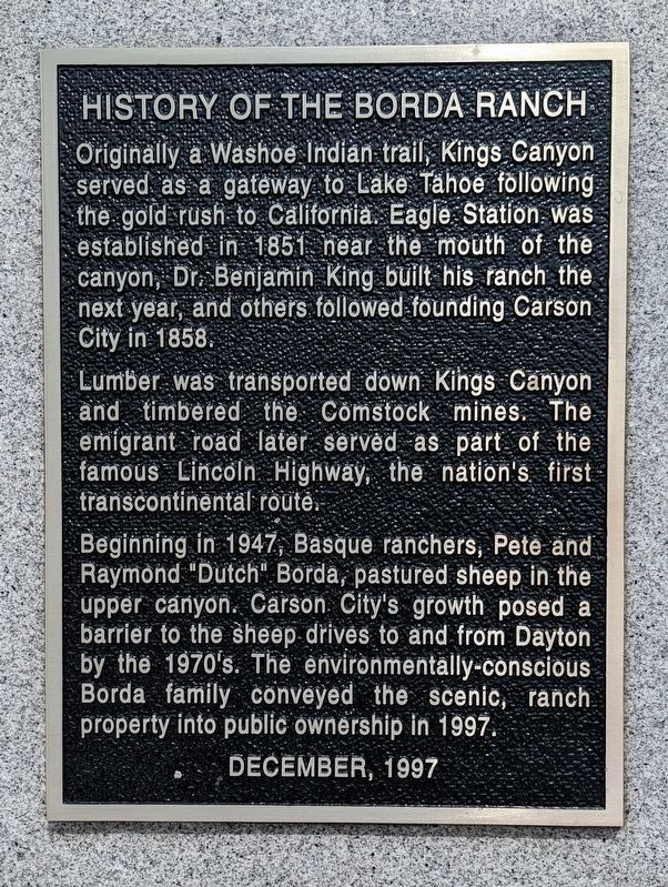
History of the Borda Ranch
Originally a Washoe Indian trail, Kings Canyon served as a gateway to Lake Tahoe following the gold rush to California. Eagle Station was established in 1851 near the mouth of the canyon, Dr. Benjamin King built his ranch the next year, and others followed founding Carson City in 1858.
Lumber was transported down Kings Canyon and timbered the Comstock mines. The immigrant road later served as part of the famous Lincoln Highway, the nation's first transcontinental route.
Beginning in 1947, Basque ranchers, Pete and Raymond "Dutch" Borda, pastured sheep in the upper canyon. Carson's City growth posed a barrier to the sheep drives to and from Dayton by the 1970s. The environmentally-conscious Borda family conveyed the scenic, ranch property into public ownership in 1997.
December, 1997
Erected 1997.
Topics. This historical marker is listed in these topic lists: Agriculture • Parks & Recreational Areas • Roads & Vehicles • Settlements & Settlers. A significant historical year for this entry is 1851.
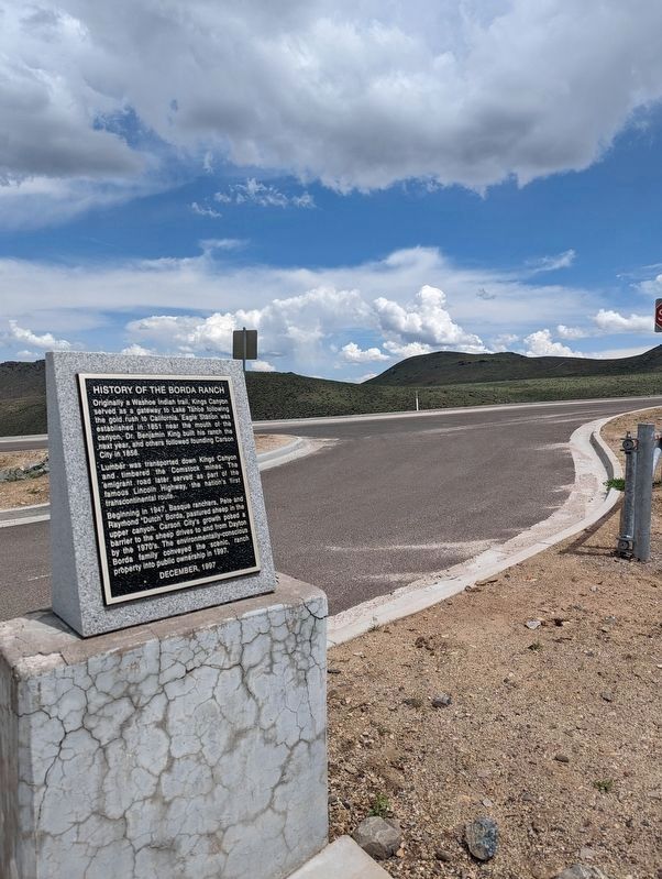
Location. 39° 9.168′ N, 119° 48.924′ W. Marker is in Carson City, Nevada. Marker is on Kings Canyon Road, 0.1 miles south of Cooper Springs Court, on the right when traveling south. Touch for map. Marker is in this post office area: Carson City NV 89701, United States of America. Touch for directions.
Other nearby markers. At least 8 other markers are within 3 miles of this marker, measured as the crow flies. Pioneer Cemetery (approx. 2 miles away); Johnson Cutoff - Sand Hills (approx. 2.4 miles away); The Governor's Mansion (approx. 2˝ miles away); Stewart-Nye Residence (approx. 2˝ miles away); Logging Wagon (approx. 2˝ miles away); Methodist Church of Carson City (approx. 2.6 miles away); Gardner’s Ranch (approx. 2.6 miles away); St. Peter’s Episcopal Church (approx. 2.6 miles away). Touch for a list and map of all markers in Carson City.
Credits. This page was last revised on May 27, 2023. It was originally submitted on December 15, 2020, by Brian Phelps of Carson City, Nevada. This page has been viewed 830 times since then and 87 times this year. Last updated on December 23, 2020, by Brian Phelps of Carson City, Nevada. Photos: 1, 2. submitted on May 25, 2023, by Brian Phelps of Carson City, Nevada. • J. Makali Bruton was the editor who published this page.
Editor’s want-list for this marker. A wide view photo of the marker and the surrounding area together in context. • Can you help?

