Native Plants of the Canal
Wabash and Erie Towpath Trail
— Wabash & Erie Canal Park Village —
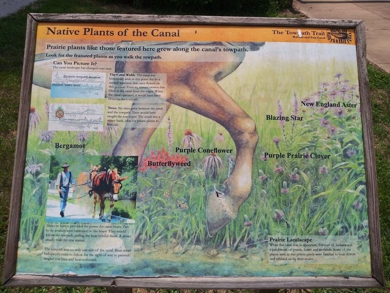
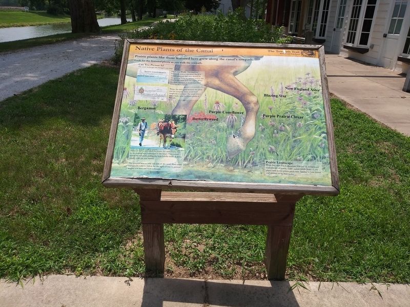
Prairie plants like those featured here grew along the canal's towpath. Look for the featured plants as you walk the towpath.
Can You Picture It?
The canal landscape has changed over time.
The Canal Width. The canal was historically wide at this point due to a natural waterway that once flowed on this portion. Even so, natural erosion has filled in the canal from the edges. When the canal operated, it would have been closer to the towpath.
Trees. No trees grew between the canal and the towpath. Trees would have caught the tow ropes. The result was a sunny bank, ideal for prairie plants to flourish.
Mules or horses provided the power for canal boats. Two to six animals were harnessed to the boats. They would follow the towpath, pulling the boat behind them. A driver usually rode the rear animal.
The towpath was on only one side of the canal. Boat crews had specific rules to follow for the right-of-way to prevent tangled tow lines and boat collisions.
Prairie Landscape
When the canal was in operation, this part
of Indiana was
a patchwork of prairie, forest and wetlands. Some of the
plants seen in this prairie patch were familiar to boat drivers
and nibbled on by their mules.
Topics and series. This historical marker is listed in these topic lists: Animals
Location. 40° 35.467′ N, 86° 40.85′ W. Marker is in Delphi, Indiana, in Carroll County. Marker can be reached from West North Washington Street just east of Charles Street, on the right when traveling east. On the Grounds of the Wabash & Erie Canal Conference & Interpretive Center. Touch for map. Marker is at or near this postal address: 12252 West North Washington Street, Delphi IN 46923, United States of America. Touch for directions.
Other nearby markers. At least 8 other markers are within walking distance of this marker. Interpretive Center (here, next to this marker); Lewis Thomas Jones (within shouting distance of this marker); River Travel (within shouting distance of this marker); Welcome To Canal Park (within shouting distance of this marker); Wabash & Erie Canal (within shouting distance of this marker); Welcome To Delphi (within shouting distance of this marker); Bicentennial Garden (within shouting distance of this marker); Constructing the Wabash & Erie Canal (within shouting distance of this marker). Touch for a list and map of all markers in Delphi.
Credits. This page was last revised on December 25, 2020. It was originally submitted on December 25, 2020, by Craig Doda of Napoleon, Ohio. This page has been viewed 75 times since then and 10 times this year. Photos: 1, 2, 3. submitted on December 25, 2020, by Craig Doda of Napoleon, Ohio. • Devry Becker Jones was the editor who published this page.


