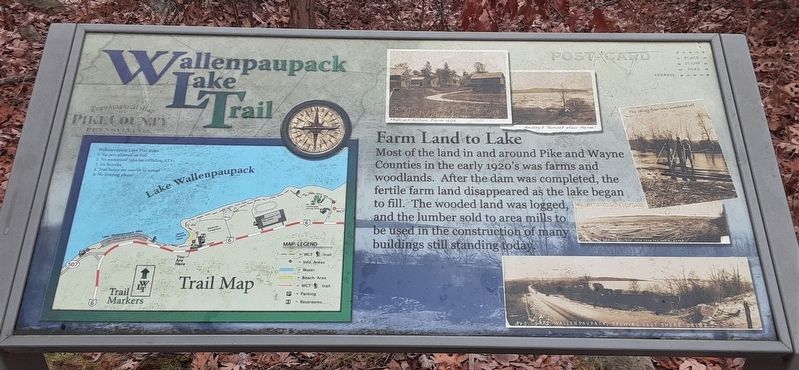
Farm Land to Lake
Wallenpaupack Lake Trail
Most of the land in and around Pike and Wayne Counties in the early 1920's was farms and woodlands. After the dam was completed, the fertile farm land disappeared as the lake began to fill. The wooded land was logged, and the lumber sold to area mills to be used in the construction of many buildings still standing today.
[Historic photo captions, clockwise from top center, read]
• Marcus Killam Farm 1903
• Ansleys "Sunset View Farm"
• The valley floor was lumbered off
• New lake covered with driftwood
• No. 5. Lake Wallenpaupack, showing East Shore Drive
Topics. This historical marker is listed in these topic lists: Parks & Recreational Areas • Settlements & Settlers • Waterways & Vessels. A significant historical year for this entry is 1903.
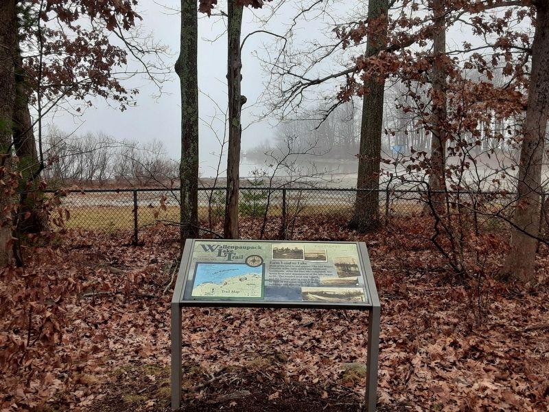
Location. 41° 26.949′ N, 75° 10.758′ W. Marker is in Wilsonville, Pennsylvania, in Pike County. Marker is on Lake Wallenpaupack Road (U.S. 6) 0.2 miles south of Wilsonville Road, on the right when traveling south. Marker is on the grounds of the Pocono Mountains Visitor Center. Touch for map. Marker is at or near this postal address: 2512 US 6, Hawley PA 18428, United States of America. Touch for directions.
Other nearby markers. At least 8 other markers are within 2 miles of this marker, measured as the crow flies. History on Lake Wallenpaupack (within shouting distance of this marker); Wallenpaupack River (within shouting distance of this
Also see . . .
1. Lake Wallenpaupack at Wikipedia. (Submitted on December 31, 2020, by William Fischer, Jr. of Scranton, Pennsylvania.)
2. Wilsonville, Pennsylvania at Wikipedia. (Submitted on December 31, 2020, by William Fischer, Jr. of Scranton, Pennsylvania.)
Credits. This page was last revised on December 31, 2020. It was originally submitted on December 31, 2020, by William Fischer, Jr. of Scranton, Pennsylvania. This page has been viewed 103 times since then and 18 times this year. Photos: 1, 2. submitted on December 31, 2020, by William Fischer, Jr. of Scranton, Pennsylvania.

