Chatsworth in Los Angeles in Los Angeles County, California — The American West (Pacific Coastal)
Stoney Point
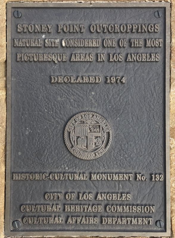
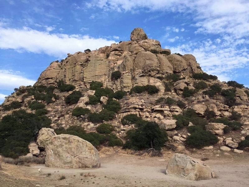
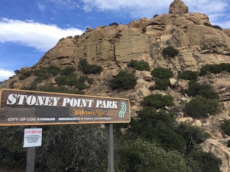
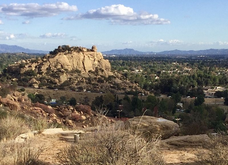
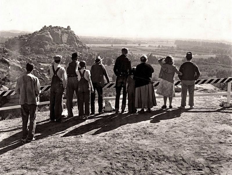
Stoney Point Outcroppings natural site, considered one of the most picturesque areas in Los Angeles.
Declared 1974, Historic-Cultural Monument No. 132, City of Los Angeles, Cultural Heritage Commission, Cultural Affairs Department.
Erected 1974 by City of Los Angeles. (Marker Number 132.)
Topics and series. This historical marker is listed in these topic lists: Landmarks • Native Americans • Parks & Recreational Areas • Railroads & Streetcars. In addition, it is included in the Los Angeles Historic-Cultural Monument series list. A significant historical year for this entry is 1974.
Location. 34° 16.181′ N, 118° 36.323′ W. Marker is in Los Angeles, California, in Los Angeles County. It is in Chatsworth. Marker can be reached from the intersection of Topanga Canyon Boulevard and Santa Susana Pass Road, on the right when traveling north. Touch for map. Marker is in this post office area: Chatsworth CA 91311, United States of America. Touch for directions.
Other nearby markers. At least 8 other markers are within 2 miles of this marker, measured as the crow flies. Garden of the Gods (approx. half a mile away); Minnie Hill Palmer House (approx. 0.9 miles away); The Munch Box (approx. 0.9 miles away); Stagecoach Trail (approx. one mile away); Chatsworth Veterans Memorial (approx. 1.2 miles away); Apeta Momonga Mission Trail (approx. 1.2 miles away); Chatsworth Community Church (approx. 1.4 miles away); Olive Trees (approx. 1.4 miles away). Touch for a list and map of all markers in Los Angeles.
Regarding Stoney Point. Stoney Point was the site of a Tongva Indian village until the 1790s. It is believed that the village of Momonga was located at Stoney Point. It is culturally significant because Momonga allowed intermarriage of Chumash, Fernandeño and Gabrieleño peoples. A sulphur spring runs adjacent to Stoney Point on the east side, which the natives believed had spiritual properties. It is said that shamans would visit Stoney Point in preparation for the Winter Solstice celebration that drew native people from as far away as Temecula. The old trail to Stoney Point located next to the 118 Freeway is Los Angeles Historic-Cultural Monument No. 1177, Apeta Momonga Mission Trail, designated in 2019.
Stoney Point has a long history of association with rock climbing and bouldering, which began in the 1930s. In the '50s and '60s, pioneering rock climbers Royal Robbins and Yvon Chouinard learned to climb at 400-foot-tall Stoney
Point.
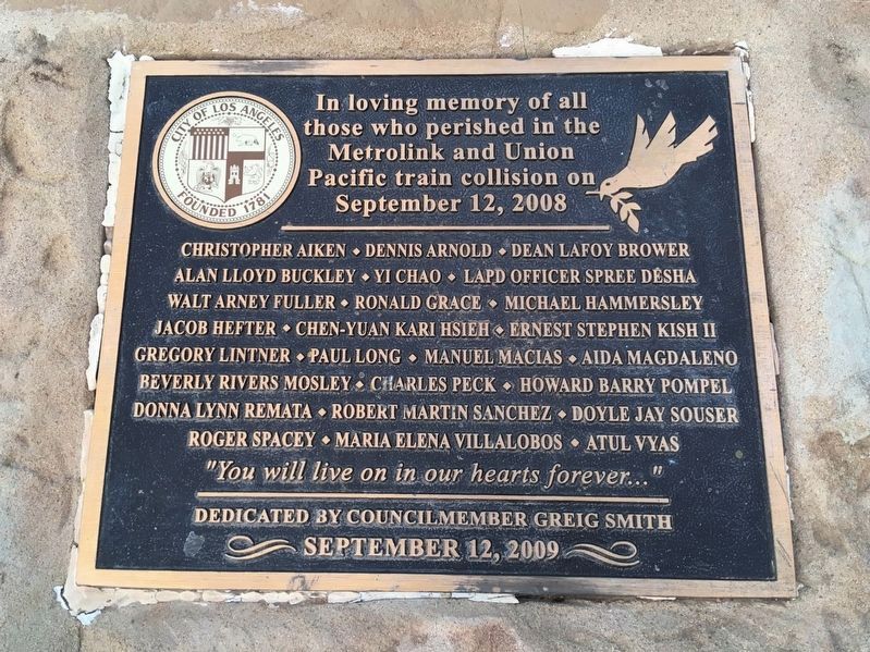
The 2008 Chatsworth Metrolink Train Crash occurred on the north-east side of Stoney Point. In 2009 a marker was placed above the railroad tunnel in memory of the victims. First responders and passengers who survived the crash were in attendance.
Credits. This page was last revised on February 7, 2023. It was originally submitted on January 1, 2021, by Craig Baker of Sylmar, California. This page has been viewed 1,703 times since then and 122 times this year. Photos: 1, 2, 3, 4, 5, 6. submitted on January 1, 2021, by Craig Baker of Sylmar, California. • J. Makali Bruton was the editor who published this page.
