Near Miles City in Custer County, Montana — The American West (Mountains)
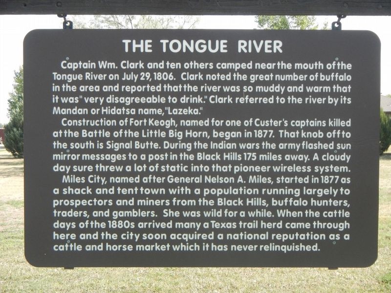
The Tongue River
Construction of Fort Keogh, named for one of Custer's captains killed at the Battle of Little Big Horn, began in 1877. That knob off to the south is Signal Butte. During the Indian wars the army flashed sun mirror messages to a post in the Black Hills 175 miles away. A cloudy day sure threw a lot of static into that pioneer wireless system.
Miles City, named after General Nelson A. Miles, started in 1877 as a shack and tent town with a population running largely to prospectors and miners from the Black Hills, buffalo hunters, traders, and gamblers. She was wild for a while. When the cattle days of the 1880s arrived many a Texas trail herd came through here and the city soon acquired a national reputation as the cattle and horse market which it has never relinquished.
Erected by Montana Department of Transportation.
Topics and series. This historical marker is listed in these topic lists: Exploration • Forts and Castles • Wars, US Indian • Waterways & Vessels. In addition, it is included in the Lewis & Clark Expedition series list. A significant historical date for this entry is July 29, 1806.
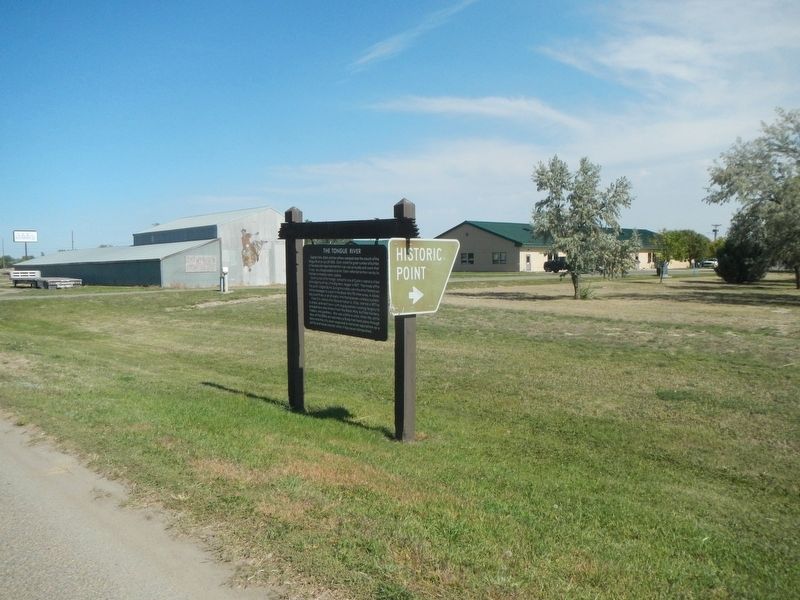
Location. 46° 23.853′ N, 105° 51.952′ W. Marker is near Miles City, Montana, in Custer County. Marker is on Business Interstate 94 near Garryowen Road, on the right when traveling south. Touch for map. Marker is at or near this postal address: 352 Interstate 94 Business, Miles City MT 59301, United States of America. Touch for directions.
Other nearby markers. At least 8 other markers are within walking distance of this marker. Custer's First Skirmish With The Lakota (approx. 0.6 miles away); Riverside Park Steamboats (approx. 0.8 miles away); The Chappel Brothers Corporation (approx. 0.8 miles away); Photography (approx. 0.8 miles away); The Horse Nation and Native People (approx. 0.8 miles away); Early Horse History (approx. 0.8 miles away); The Olive Hotel (approx. 0.9 miles away); Dr. Redd's Brick Building (approx. 0.9 miles away). Touch for a list and map of all markers in Miles City.
Credits. This page was last revised on January 1, 2021. It was originally submitted on January 1, 2021, by Barry Swackhamer of Brentwood, California. This page has been viewed 205 times since then and 25 times this year. Photos: 1, 2. submitted on January 1, 2021, by Barry Swackhamer of Brentwood, California.

