Near Bolivar in Hardeman County, Tennessee — The American South (East South Central)
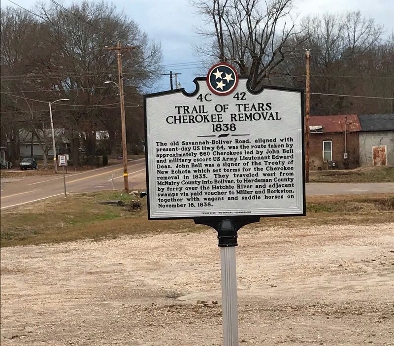
Trail of Tears Cherokee Removal 1838
Erected by Tennessee Historical Commission. (Marker Number 4C 42.)
Topics and series. This historical marker is listed in these topic lists: Native Americans • Roads & Vehicles. In addition, it is included in the Tennessee Historical Commission, and the Trail of Tears series lists. A significant historical year for this entry is 1838.
Location. 35° 15.295′ N, 88° 58.563′ W. Marker is near Bolivar, Tennessee, in Hardeman County. Marker is on East Market Street (U.S. 64 at milepost 14.5), ¼ mile east of E Margin Street, on the right when traveling west. Touch for map. Marker is at or near this postal address: 14625 East Market Street, Bolivar TN 38008, United States of America. Touch for directions.
Other nearby markers. At least 8 other markers are within 2 miles of this marker, measured as the crow flies. Hardeman County Confederate Memorial (approx. 0.6 miles away); Bolivar (approx. 0.7 miles away); Hardeman County Veterans Memorial (approx. 0.7 miles away); John Houston Bills (approx. ¾ mile away); St. James Episcopal Church (approx. ¾ mile away); The Columns (approx. 0.8 miles away); Polk Cemetery (approx. one mile away); Old Hatchie Town (approx. 1.1 miles away). Touch for a list and map of all markers in Bolivar.
Additional keywords. genocide, forced removal
Credits. This page was last revised on January 6, 2021. It was originally submitted on January 5, 2021, by Curtis Wise of Jackson, Tennessee. This page has been viewed 346 times since then and 48 times this year. Photo 1. submitted on January 5, 2021, by Curtis Wise of Jackson, Tennessee. • Devry Becker Jones was the editor who published this page.
Editor’s want-list for this marker. Verification of marker placement. • A wide shot of the marker in context. • Can you help?
