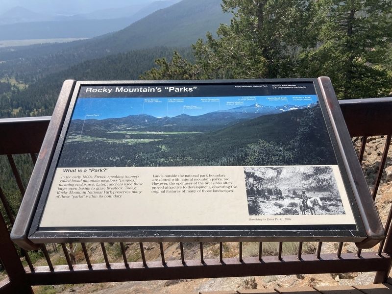
Rocky Mountain’s “Parks”
In the early 1800s, French-speaking trappers called broad mountain meadows “parques,' meaning enclosures. Later, ranchers used these large, open basins to graze livestock. Today, Rocky Mountain National Park preserves many of these “parks” within its boundary.
Lands outside the national park boundary are dotted with natural mountain parks, too. However, the openness of the areas has often proved attractive to development, obscuring the original features of many of those landscapes.
Caption:
Ranching in Estes Park, 1890s
Erected by USDI National Park Service.
Topics. This historical marker is listed in these topic lists: Agriculture • Environment • Parks & Recreational Areas.
Location. 40° 23.237′ N, 105° 37.874′ W. Marker is near Estes Park, Colorado, in Larimer County. Marker is on Fall River Road, on the left when traveling west. Located at many parks curve overlook. Touch for map. Marker is in this post office area: Estes Park CO 80517, United States of America. Touch for directions.
Other nearby markers. At least 8 other markers are within 4 miles of this marker, measured as the crow flies. The Woodpecker Army (approx. one mile away); Animals in Flux (approx. 1.4 miles away); Ancient Paths, Ancient Peoples
Credits. This page was last revised on January 12, 2021. It was originally submitted on January 7, 2021, by Connor Olson of Kewaskum, Wisconsin. This page has been viewed 149 times since then and 14 times this year. Photo 1. submitted on January 7, 2021, by Connor Olson of Kewaskum, Wisconsin. • Bill Pfingsten was the editor who published this page.
