Sdot Yam in Hadera, Haifa District, Israel — West Asia (the Levant in the Middle East)
Caesarea in the Middle Ages / Crusader Fortifications
Inscription.
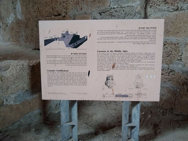
Caesarea in the Middle Ages
In the course of the 7th century, Caesarea's population started to decrease. Large areas of the city were abandoned, and were used only as burial grounds and as a source of building stones. The perimeter of the city shrank and was similar to the one visible today — that of the Crusader city. Like other coastal cities - Arsuf, Jaffa, Ashkelon, Gaza - Caesarea became a ribbat (a seaside fortress for guarding the coast, garrisoned by troops trained in the spirit of the Jihad), which served as a shelter for the local population during periods of danger.
During the Abbesid and Fatimid periods, Caesarea once again flourished as a city of commerce and industry, and Muslim travelers extolled its beauty. The Crusades started in the 11th century. The Crusaders brought with them European architecture and their faith. Once again, Caesarea was a Christian city. From 1101 to 1265, the city passed several times from the hands of the Crusaders into those of the Muslims, – at times thoroughly abandoned, until its final fall in 1265 to the forces of the Mamluk sultan Baybars.
Crusader Fortifications
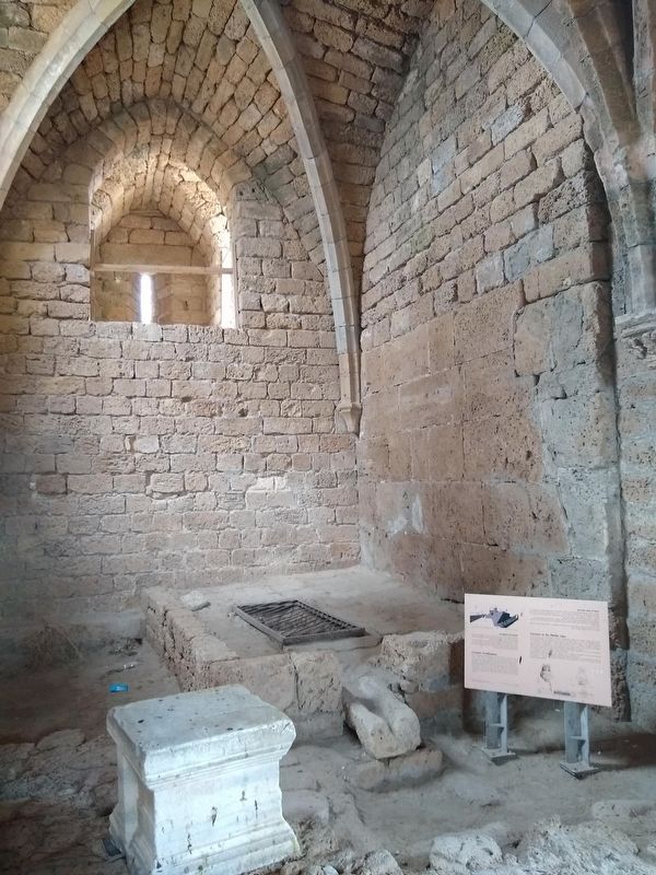
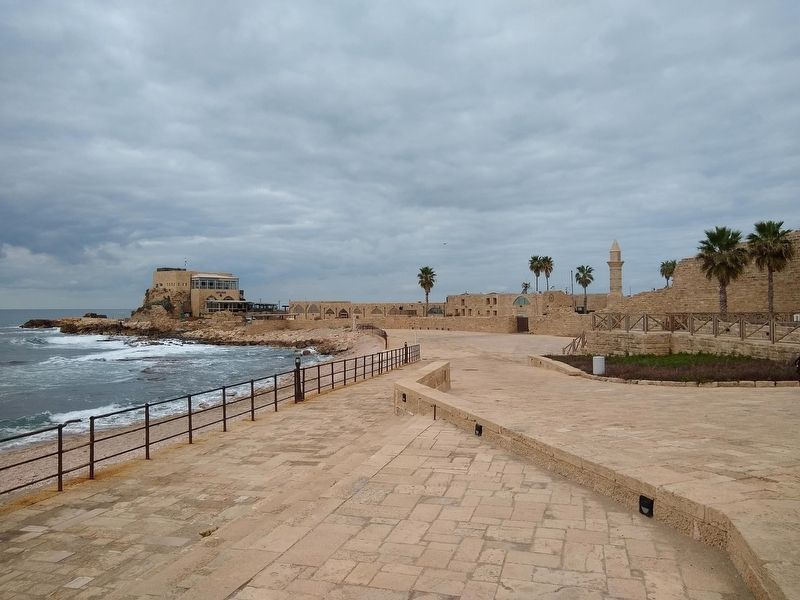
The fortifications visible today were built anew by Louis IX, king of France, who came to the Holy Land with the Sixth Crusade in the 13th century. They represent exemplary Gothic European military architecture. The Eastern gate was the main gate of the Crusader city. Apparently, the fortifications were built on top of or as a restoration of previous fortifications which had been destroyed by the Ayyubid sultan Salah ad-Din (Saladin) in 1187. Actually, Muslim travelers describe Caesarea as a well-fortified city with a citadel, and archaeological excavations have exposed fortifications remains which can be dated to the period of the governor Ahmad Ibn Tulun, at the end of the 9th Century.
במאה ה-7 לסה"נ הצטמקה אוכלוסייתה של קיסריה. אזורים רבים של העיר ניטשו ושימשו לקבורה ומקור לאבני
בנייה.
שטח העיר הצטמצם והיה דומה להיקף העיר המתגלה לעינינו – העיר המבוצרת מהתקופה הצלבנית. בדומה לערי חוף
אחרות - ארסוף, יפו, אשקלון, עזה – הפכה קיסריה לריבאט (תחנת משמר חופית שאושה בחיילים, שחונכו ברוח
והג'יהאד), וזה שימש מקלט לאוכלוסיית הסביבה בזמן סכנה.
בתקופה העבאסית והפאטימית שוב שגשגה קיסריה כעיר מסחר ותעשייה. נוסעים מוסלמים משבחים את יופיה.
בסוף המאה ה-11 החלו מסעי הצלב. הצלבנים הביאו עמם את הארכיטקטורה האירופית ואת דתם. קיסריה הפכה שוב
לעיר נוצרית.
מ־1101 ועד 1265 עברה קיסריה פעמים אחדות
מידיים צלבניות למוסלמיות, - לעתים ניטשה לחלוטין, עד שנפלה
סופית לידי השולטן הממלוכי ביבארס ב־1265.
הביצורים הצלבניים
הביצורים הנראים לעינינו היום הוקמו בידי לואי ה־9, מלך צרפת, שבא לכאן במסע הצלב השישי במאה ה-13. הם מהווים דוגמה של ארכיטקטורה צבאית גותית־אירופית. שער מזרחי זה היה השער הראשי של העיר הצלבנית. נראה כי הביצורים הוקמו על או שיקמו ביצורים קדומים יותר שנהרסו ב-87ון בידי השולטן האיובי צלאח א-דין. הנוסעים המוסלמים מתארים עיר מבוצרת היטב, ובה מצודה. ואכן, בחפירות ארכיאולוגיות נתגלו שרידי ביצורים משלב שניתן לתארך לימין של המושל אחמד אבן טולון, בסוף המאה ה־9
Topics. This historical marker is listed in these topic lists: Anthropology & Archaeology • Architecture • Wars, Non-US.
Location. 32° 30.097′ N, 34° 53.551′ E. Marker is in Sdot Yam, Haifa District, in Hadera. Marker can be reached from Israeli National Trail, on the left when traveling north. The marker is located within the Caesarea National Park. Touch for map. Touch for directions.
Other nearby markers. At least 8 other markers are within walking distance of this marker. Caesarea: City, Harbor (here, next to this marker); Corinthian Capitals (a few steps from this marker); Fragments of an Inscribed Coenice (a few steps from this marker); Caesarea / קיסריה (within shouting distance of this marker); Inscribed Stones / Sarcophagi (within shouting distance of this marker); The Caesarea Nymphaeum (within shouting distance of this marker); Inscribed Sarcophagus adorned with Garlands (about 90 meters away, measured in a direct line); The Heart of Caesarea (about 90 meters away). Touch for a list and map of all markers in Sdot Yam.
Also see . . . Caesarea Maritima. (Submitted on January 16, 2021, by Tom Bosse of Jefferson City, Tennessee.)
Credits. This page was last revised on January 17, 2021. It was originally submitted on January 11, 2021, by Tom Bosse of Jefferson City, Tennessee. This page has been viewed 292 times since then and 20 times this year. Photos: 1, 2, 3. submitted on January 11, 2021, by Tom Bosse of Jefferson City, Tennessee. • J. Makali Bruton was the editor who published this page.


