Brownsville in Cameron County, Texas — The American South (West South Central)
Palmetto Piling
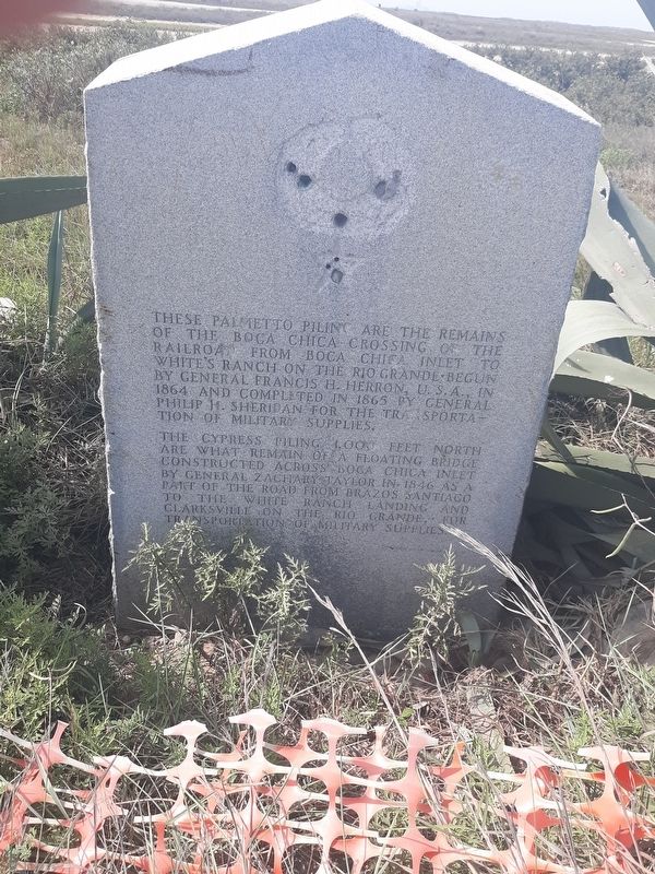
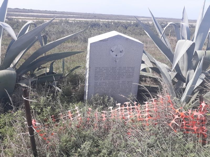
These palmetto piling are the remains of the Boca Chica Crossing of the railroad from Boca Chica Inlet to White's Ranch on the Rio Grande. Begun by General Francis H. Herron, U.S.A., in 1864 and completed in 1865 by General Philip H. Sheridan for the transportation of military supplies.
The cypress piling 1,000 feet north are what remain of a floating bridge constructed across Boca Chica Inlet by General Zachary Taylor in 1846 as a part of the road from Brazos Santiago to the White Ranch Landing and Clarksville on the Rio Grande, for transportation of military supplies.
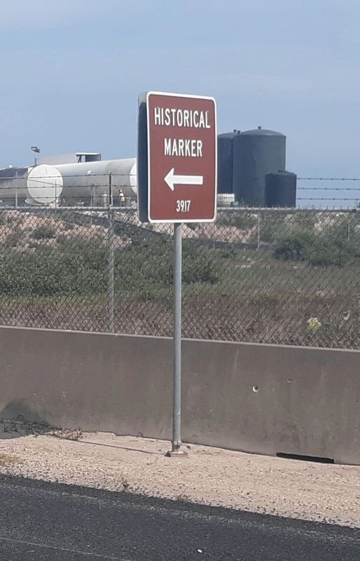
Erected 1936 by State of Texas. (Marker Number 3917.)
Topics and series. This historical marker is listed in these topic lists: Railroads & Streetcars • War, Mexican-American • War, US Civil • Waterways & Vessels. In addition, it is included in the Texas 1936 Centennial Markers and Monuments series list. A significant historical year for this entry is 1864.
Location. 25° 59.899′ N, 97° 9.525′ W. Marker is in Brownsville, Texas, in Cameron County. Marker is on Boca Chica Boulevard (State Highway 4), on the right when traveling west. Touch for map. Marker is in this post office area: Brownsville TX 78520, United States of America. Touch for directions.
Other nearby markers. At least 8 other markers are within 7 miles of this marker, measured as the crow flies. Brazos Santiago (approx. 5 miles away); Site of Camp Belknap (approx. 5 miles away); Veterans' Park Walls of Honor (approx. 5.8 miles away); Padre J. Nicolas Balli (approx. 6 miles away); Queen Isabel Inn (approx. 6.1 miles away); Charles Champion (approx. 6.2 miles away); Port Isabel, C.S.A. (approx. 6.2 miles away); Old Point Isabel Lighthouse (approx. 6.3 miles away).
Credits. This page was last revised on February 7, 2021. It was originally submitted on January 13, 2021, by Craig Doda of Napoleon, Ohio. This page has been viewed 1,852 times since then and 263 times this year. Photos: 1, 2, 3. submitted on January 13, 2021, by Craig Doda of Napoleon, Ohio. 4. submitted on February 7, 2021, by James Hulse of Medina, Texas. 5. submitted on January 13, 2021, by Craig Doda of Napoleon, Ohio. • J. Makali Bruton was the editor who published this page.
