Wolverine Lake in Walled Lake in Oakland County, Michigan — The American Midwest (Great Lakes)
Walled Lake
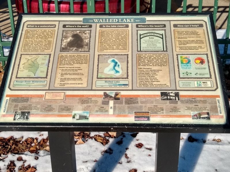
What is a watershed?
A watershed is an area of land that drains into a common body of water such as a stream, river, lake, or groundwater—in this case, the Detroit River. Walled Lake drains 4 square miles and is situated in the headwaters in the Middle One Branch of the Rouge River Watershed.
The Rouge River drains 438 square miles in 48 municipalities and three counties and is home to 1.5 million people. The Rouge River ultimately discharges to the Detroit River near the Rouge Assembly Plant in Detroit. The major threat to the Rouge River Watershed is nonpoint source pollution caused by stormwater runoff.
Where's the wall?
The "wall" that gave Walled Lake its name was originally described by the first settler to the area, Walter Hewitt, in 1826. It consisted of a long stone wall, approximately 150 fett by 4 feet high by 5 feet wide along the west shore of the lake. It is not known how the wall originated.
Theories and legends include:
• the wall was built by Native Americans to trap fish
• the wall was a memorial to a fisherman who drowned in the lake
• the wall was caused by drift deposits due to water and ice action
• the wall was caused by glacial activity
Is the lake clean?
Nonpoint source pollution is caused by runoff from rainfall or snowmelt that moves across the landscape, picks up natural and human contaminants, and washes them into waterways. Such contaminants may include: fertilizer, oil, grease, toxic chemicals, sediment, salt, and bacteria. Walled Lake has 36 stormwater outfalls that deliver stormwater runoff directly to the lake. Both Walled Lake and Novi are currently under a Phase II Stormwater Permit from the United States Environmental Protection Agency, which requires communities to take action to reduce and mitigate the impacts of stormwater runoff.
Where's the beach?
Walled Lake is a natural kettle lake that was probably formed about 12,000 years ago. The ice formed a depression in the glacial outwash and filled the depression with water as it melted. Walled Lake is primarily spring-fed, though several small creeks also contribute. An outlet drains to the Middle Branch of the Rouge River.
Lake Statistics
Volume: 2,627,000,000 Gallons
Legal Elevation: 932.8 Feet
Average Depth: 12 Feet
Maximum Depth: 53 Feet
Perimeter: 4.58 Miles
Surface Area: 652 Acres
Flushing Rate: 6.67 Years
Trophic Status: Oligotrophic
River Basin: Rouge
Fish Species: Large and smallmouth bass, bluegill, perch, and northern pike
How can I help?
• Don't feed wildlige near the shoreline. Waste produced by wildlife can add a significant source of nutrients to the water.
• Use fertilizers that don't contain phosphorous.
• Don't mow to the edge! Maintain a buffer of deep rooted plants, trees, or shrubs adjacent to wetlands and open water.
Support local businesses. Shop "Where the shores meet the stores" in Downtown Walled Lake!
Milestones in Walled Lake
Pre-1824
Potawatomi camp along the western shore of Walled Lake near the Grand Indian Trail
1825
The first European settler, Walter Hewitt, builds a log cabin near the present-day cemetery
1830
"White Rock" Indian Trading Post is established
1836
Village of Walled Lake is platted
1840
Dr. James M. Hoyt arrives in Walled Lake and serves as Village doctor for 40 years
1860
"Stonecrest" Schoolhouse is built (and remains today)
1883
Michigan Airline Railroad begins to run through the Village of Walled Lake
1929
Walled Lake Park opens featuring roller coasters, bath house, water slides, and boardwalks
1965
Casino Shores Pavilion is destroyed by fire
1979
The cities of Walled Lake and Novi install sewers around Walled Lake and within five years, water quality in the lake improves
2000
Walled Lake joins the Main Street Oakland County Program and commences to build and promote its unique downtown
Top images:
Left: 1896 Plat Map of Walled Lake
Middle: Walled Lake Train Station
Right: Casino Shores Pavillion Fire
Bottom images
Far left: Potawatomi Dancers at an Exhibition
Near left: Historic Stonecrest Schoolhouse
Near right: Ad for Walled Lake Park
Far right: Downtown
Erected by Downtown Walled Lake, City of Walled Lake, Main Street Oakland County, Oakland County Michigan.
Topics. This historical marker is listed in these topic lists: Environment • Native Americans • Settlements & Settlers. A significant historical year for this entry is 1826.
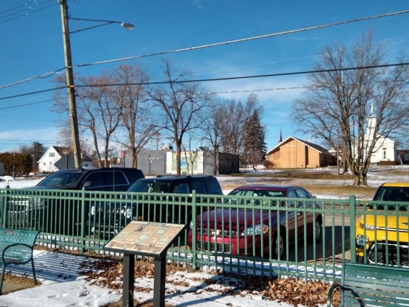
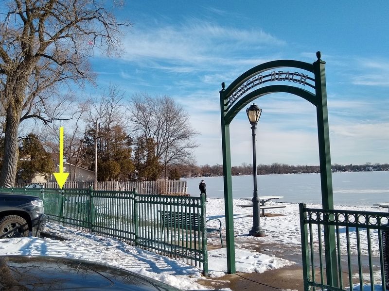
Location. 42° 31.89′ N, 83° 28.947′ W. Marker is in Walled Lake, Michigan, in Oakland County. It is in Wolverine Lake. Marker is at the intersection of East Walled Lake Drive and Witherall Street, on the left when traveling west on East Walled Lake Drive. Marker is in E.V. Mercer Beach park. Touch for map. Marker is in this post office area: Walled Lake MI 48390, United States of America. Touch for directions.
Other nearby markers. At least 8 other markers are within 3 miles of this marker, measured as the crow flies. Stonecrest (about 700 feet away, measured in a direct line); Walled Lake Casino

Photographed By Joel Seewald, January 9, 2021
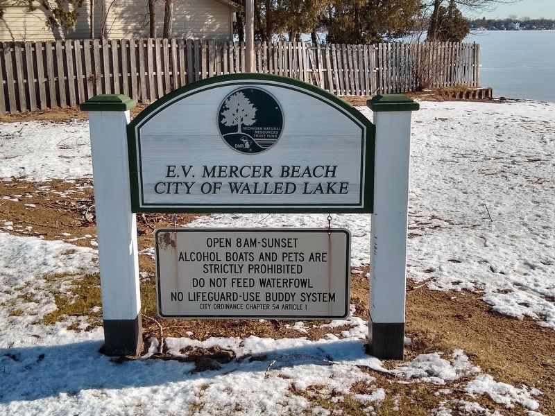
4. E.V. Mercer Beach Park Sign
Marker is at E.V. Mercer Beach park. Mercer Beach is named for one of the former property owners
Credits. This page was last revised on February 12, 2023. It was originally submitted on January 15, 2021, by Joel Seewald of Madison Heights, Michigan. This page has been viewed 1,606 times since then and 176 times this year. Photos: 1, 2, 3, 4. submitted on January 15, 2021, by Joel Seewald of Madison Heights, Michigan.


