Sherman Oaks in Los Angeles in Los Angeles County, California — The American West (Pacific Coastal)
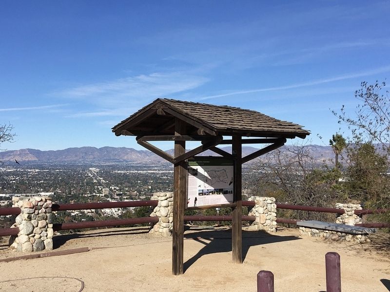
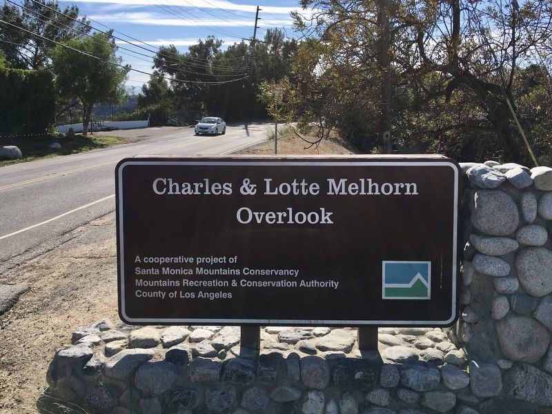
Melhorn Overlook
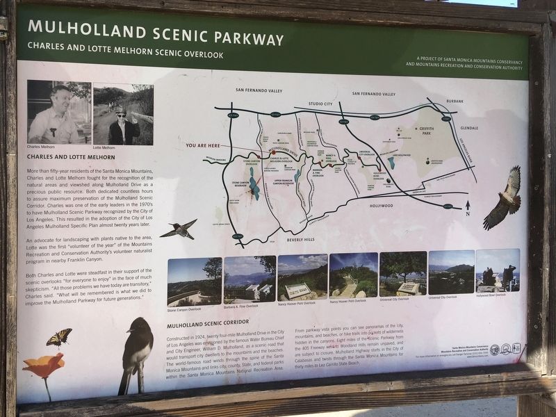
Mulholland Scenic Parkway
Charles and Lotte Melhorn
More than fifty-year residents of the Santa Monica Mountains, Charles and Lotte Mel horn fought for the recognition of the natural areas and viewshed along Mulholland Drive as a precious public resource. Both dedicated countless hours to assure maximum preservation of the Mulholland Scenic Corridor. Charles was one of the early leaders in the 1970's to have Mulholland Scenic Parkway recognized by the City of Los Angeles. This resulted in the adoption of the City of Los Angeles Mulholland Specific Plan almost twenty years later. An advocate for landscaping with plants native to the area, Lotte was the first "volunteer of the year" of the Mountains Recreation and Conservation Authority's volunteer naturalist program in nearby Franklin Canyon. Both Charles and Lotte were steadfast in their support of the scenic overlooks "for everyone to enjoy" in the face of much skepticism. "All those problems we have today are transitory," Charles said. "What will be remembered is what we did to improve the Mulholland Parkway for future generations."
Mulholland Scenic Corridor
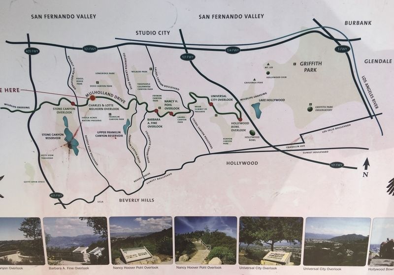
Constructed in 1924, twenty four-mile Mulholland Drive in the City of Los Angeles was envisioned by the famous Water Bureau Chief and City Engineer, William D. Mulholland, as a scenic road that would transport city dwellers to the mountains and the beaches. The world-famous road winds through the spine of the Santa Monica Mountains and links city, county, State, and federal parks within the Santa Monica Mountains National Recreation Area. From parkway vista points you can see panoramas of the city, mountains, and beaches, or hike trails into packets of wilderness hidden in the canyons. Eight miles of the Scenic Parkway from the 405 Freeway west to Woodland Hills remain unpaved, and are subject to closure. Mulholland Highway starts in the City of Calabasas and twists through the Santa Monica Mountains for thirty miles-to Leo Carrillo State Beach.
Erected by Santa Monica Mountains Conservancy, and Mountains Recreation and Conservation Authority.
Topics. This historical marker is listed in these topic lists: Charity & Public Work • Natural Resources • Parks & Recreational Areas • Roads & Vehicles.
Location. 34° 7.915′ N, 118° 26.019′ W. Marker is in Los Angeles, California, in Los Angeles County. It is in Sherman Oaks. Marker is on Mulholland Drive, 0.3 miles east of Benedict Canyon Drive, on the left when traveling east. Touch for map. Marker is at or near this postal address: 13801 Mulholland Dr, Beverly Hills CA 90210, United States of America. Touch for directions.
Other nearby markers. At least 8 other markers are within 3 miles of this marker, measured as the crow flies. Harry J. Wolff House (approx. 0.8 miles away); St. Saviour's Chapel (approx. 1.4 miles away); Sportsmen’s Lodge (approx. 1˝ miles away); Upper Franklin Canyon Reservoir (approx. 1˝ miles away); Sherman Oaks Veterans Memorial (approx. 2 miles away); Mulholland Drive Bridge (approx. 2.4 miles away); Mary Tyler Moore Show (approx. 2.6 miles away); Bailey House (approx. 2.6 miles away). Touch for a list and map of all markers in Los Angeles.
Credits. This page was last revised on February 27, 2024. It was originally submitted on January 15, 2021, by Craig Baker of Sylmar, California. This page has been viewed 708 times since then and 92 times this year. Photos: 1, 2, 3, 4. submitted on January 15, 2021, by Craig Baker of Sylmar, California. • J. Makali Bruton was the editor who published this page.


