Native American Earthen Mound
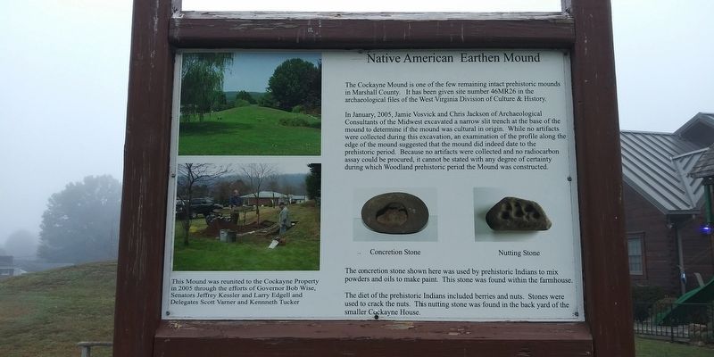
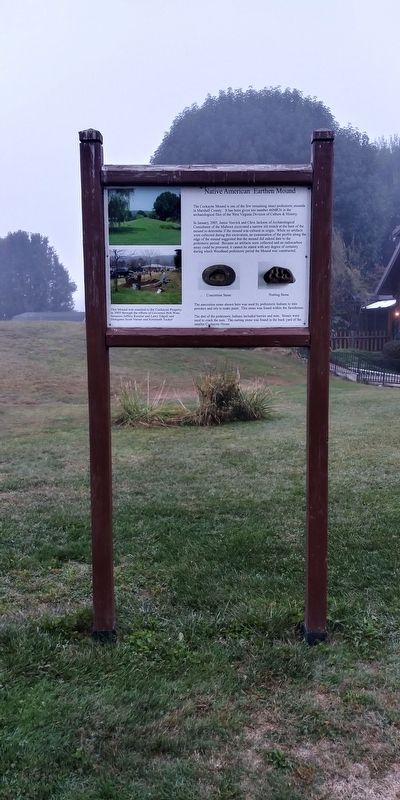
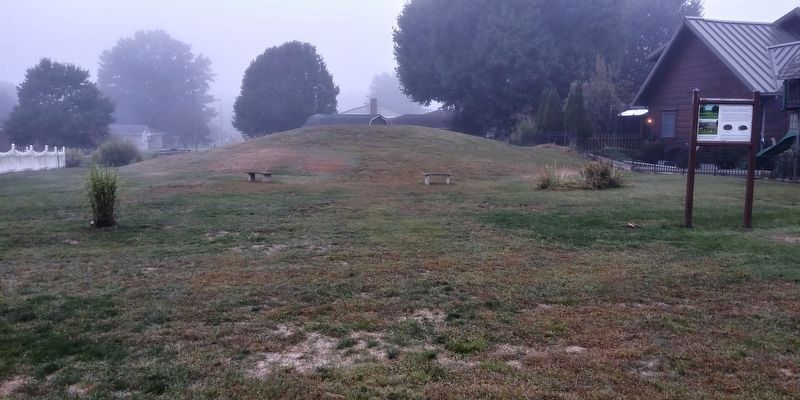
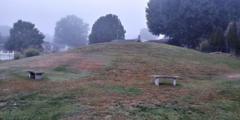
The Cockayne Mound is one of the few remaining intact prehistoric mounds in Marshall County. It has been given site number 46MR26 in the archaeological files of the West Virginia Division of Culture & History.
In January, 2005, Jamie Vosvick and Chris Jackson of Archaeological Consultants of the Midwest excavated a narrow slit trench at the base of the mound to determine if the mound was cultural in origin. While no artifacts were collected during this excavation, an examination of the profile along the edge of the mound suggested that the mound did indeed date to the prehistoric period. Because no artifacts were collected and no radiocarbon assay could be procured, it cannot be stated with any degree of certainty during which Woodland prehistoric period the Mound was constructed.
The concretion stone shown here was used by prehistoric Indians to mix powders and oils to make paint. This stone was found within the farmhouse.
The diet of the prehistoric Indians included berries and nuts. Stones were used to crack the nuts. This nutting stone was found in the back yard of the smaller Cockayne House.
This Mound
this page online
Topics. This historical marker is listed in these topic lists: Anthropology & Archaeology • Indigenous Peoples and Communities. A significant historical month for this entry is January 2005.
Location. 39° 56.55′ N, 80° 45.3′ W. Marker is in Glen Dale, West Virginia, in Marshall County. It is on Wheeling Avenue (U.S. 250) 0.1 miles north of 13th Street, on the left when traveling north. Touch for map. Marker is at or near this postal address: 1105 Wheeling Ave, Glen Dale WV 26038, United States of America. Touch for directions.

Regionally, this marker is in the Northern Panhandle and in the High Valley. It is also in the American South, specifically in the Upper South, in the Ohio River Valley, in Appalachia, and specifically in Northern Appalachia. Globally, it is in North America, the Western Hemisphere, the Western World, and the Anglosphere. Historically, it finds itself in what was once the territory of the Mississippian Culture.
Other nearby markers. At
Another marker is no longer nearby. Lindy’s Landing (was approx. 1.3 miles away but has been confirmed missing).
Credits. This page was last revised on January 15, 2021. It was originally submitted on January 15, 2021, by Craig Doda of Napoleon, Ohio. This page has been viewed 348 times since then and 51 times this year. Photos: 1, 2, 3, 4. submitted on January 15, 2021, by Craig Doda of Napoleon, Ohio. • Devry Becker Jones was the editor who published this page.
