Near Franklin in Williamson County, Tennessee — The American South (East South Central)
Bending Chestnut
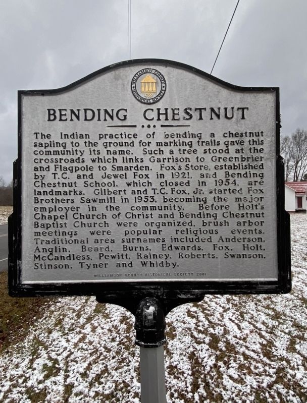
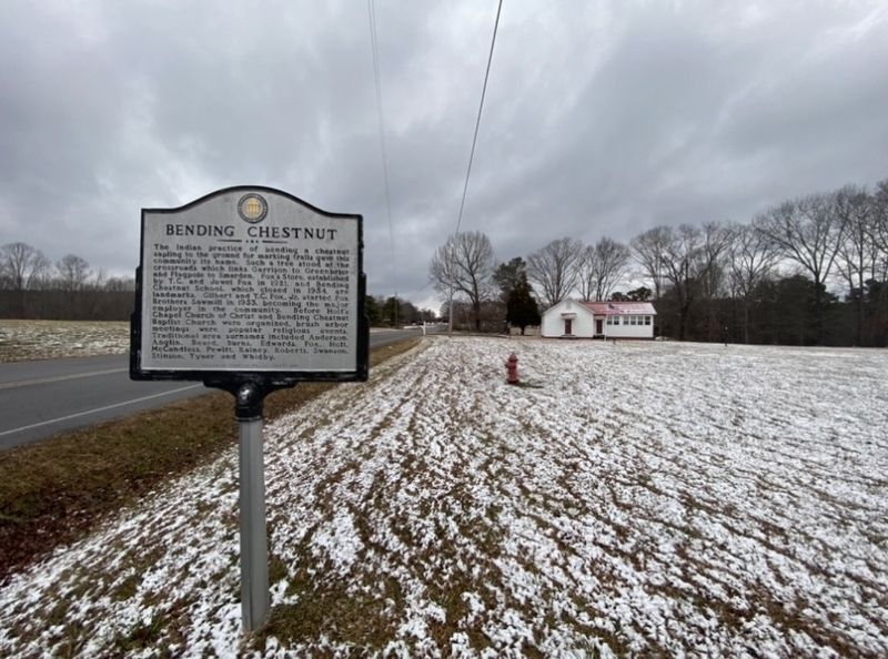
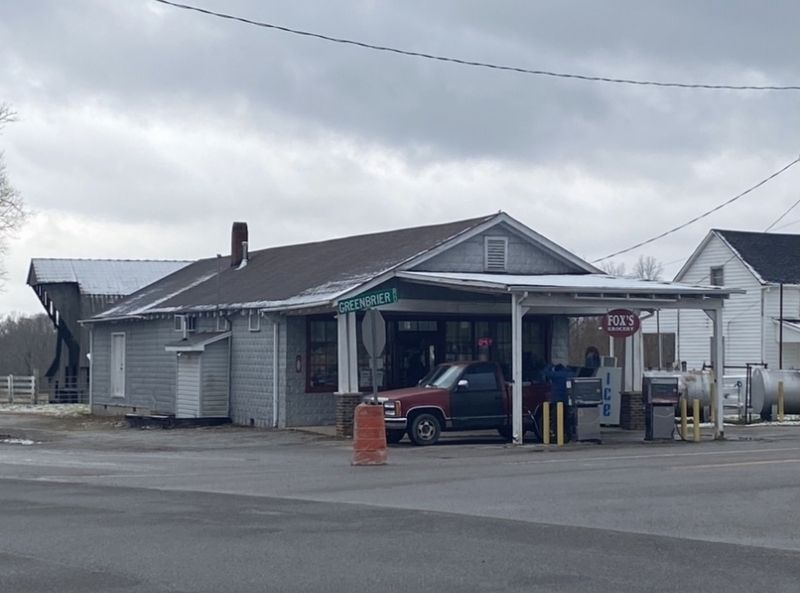
The Indian practice of bending a chestnut sapling to the ground for marking trails gave this community its name. Such a tree stood at the crossroads which links Garrison to Greenbrier and Flagpole to Smarden. Fox's Store, established by T.C. and Jewel Fox in 1921, and Bending Chestnut School, which closed in 1954, are landmarks. Gilbert and T.C. Fox, Jr. started Fox Brothers Sawmill in 1953, becoming the major employer in the community. Before Holt’s Chapel Church of Christ and Bending Chestnut Baptist Church were organized, brush arbor meetings were popular religious events. Traditional area surnames included Anderson, Anglin, Beard. Burns, Edwards, Fox, Holt, McCandless, Pewitt, Rainey, Roberts, Swanson, Stinson, Tyner and Whidby.
Erected 2001 by Williamson County Historical Society.
Topics and series. This historical marker is listed in these topic lists: Churches & Religion • Industry & Commerce • Native Americans • Settlements & Settlers. In addition, it is included in the Tennessee – Williamson County Historical Society series list.
Location. 35° 51.474′ N, 87° 5.319′ W. Marker is near Franklin, Tennessee, in Williamson County. Marker is at the intersection of Bending Chestnut Road and Greenbriar Road, on the right when traveling north on Bending Chestnut Road. Touch for map. Marker is at or near this postal address: 5750 Bending Chestnut Road, Franklin TN 37064, United States of America. Touch for directions.
Other nearby markers. At least 8 other markers are within 4 miles of this marker, measured as the crow flies. Richard "Dick" Poyner (approx. 1½ miles away); Tennessee Valley Divide (approx. 2 miles away); Garrison (approx. 2.2 miles away); U.S.D. 1812 (approx. 2.3 miles away); Duck River Ridge Smarden and Mobley's Cut / Duck River Ridge and The Treaties of Hopewell (approx. 2.6 miles away); Boston (approx. 3.1 miles away); Greenbrier (approx. 3.1 miles away); Flagpole Campground / Pinewood Road (approx. 3.4 miles away). Touch for a list and map of all markers in Franklin.
Credits. This page was last revised on January 17, 2021. It was originally submitted on January 16, 2021, by Darren Jefferson Clay of Duluth, Georgia. This page has been viewed 434 times since then and 56 times this year. Photos: 1, 2, 3. submitted on January 16, 2021, by Darren Jefferson Clay of Duluth, Georgia. • J. Makali Bruton was the editor who published this page.


