Near Franklin in Williamson County, Tennessee — The American South (East South Central)
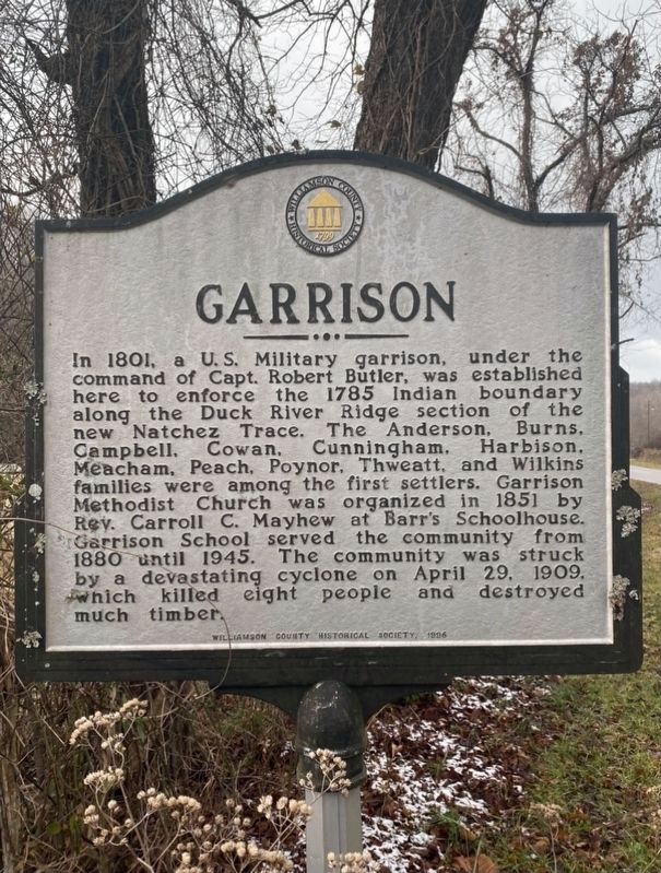
Garrison
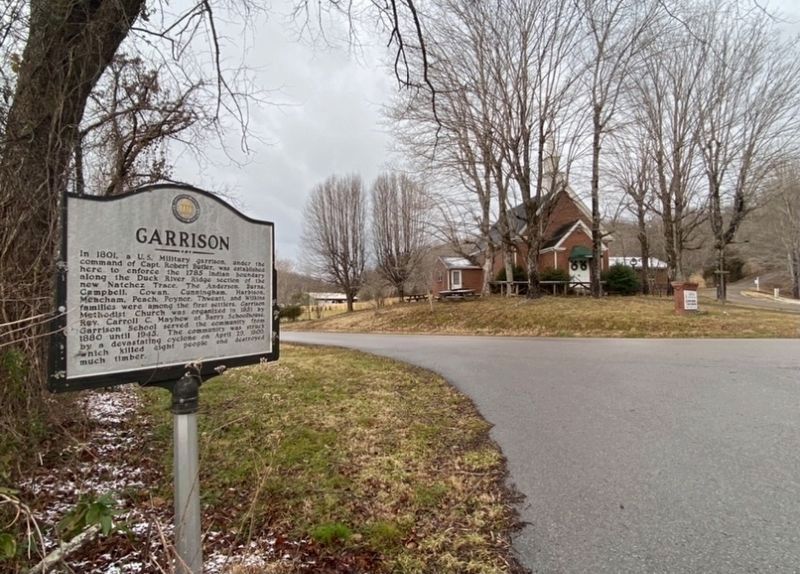
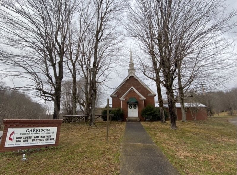
In 1801, a U. S. Military garrison, under the command of Capt. Robert Butler, was established here to enforce the 1785 Indian boundary along the Duck River Ridge section of the new Natchez Trace. The Anderson, Burns, Campbell, Cowan, Cunningham, Harbison, Meacham, Peach, Poynor, Thweatt, and Wilkins families were among the first settlers. Garrison Methodist Church was organized in 1851 by Rev. Carroll C. Mayhew at Barr's Schoolhouse. Garrison School served the community from 1880 until 1945. The community was struck by a devastating cyclone on April 29, 1909, which killed eight people and destroyed much timber.
Erected 1996 by Williamson County Historical Society.
Topics and series. This historical marker is listed in these topic lists: Churches & Religion • Disasters • Education • Native Americans. In addition, it is included in the Tennessee – Williamson County Historical Society series list.
Location. 35° 52.351′ N, 87° 3.241′ W. Marker is near Franklin, Tennessee, in Williamson County. Marker is on Garrison Road, on the left when traveling west. Touch for map. Marker is at or near this postal address: 5790 Garrison Road, Franklin TN 37064, United States of America. Touch for directions.
Other nearby markers. At least 8 other markers are within 3 miles of this marker, measured as the crow flies. U.S.D. 1812 (approx. 0.9 miles away); Richard "Dick" Poyner (approx. 1˝ miles away); Dr. George B. Hunter Farm / Along Leiper's Fork (approx. 2.1 miles away); Bending Chestnut (approx. 2.2 miles away); Boston (approx. 2.3 miles away); Benton's Well and Slave Cabin (approx. 2.7 miles away); Thomas Hart Benton (approx. 2.8 miles away); Tennessee Valley Divide (approx. 2.8 miles away). Touch for a list and map of all markers in Franklin.
Credits. This page was last revised on January 18, 2021. It was originally submitted on January 16, 2021, by Darren Jefferson Clay of Duluth, Georgia. This page has been viewed 342 times since then and 24 times this year. Photos: 1, 2, 3. submitted on January 16, 2021, by Darren Jefferson Clay of Duluth, Georgia. • J. Makali Bruton was the editor who published this page.


