
The Nanticoke Indian Tribe
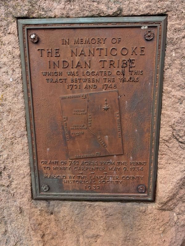
The Nanticoke
Indian Tribe
Grant of 742 acres from the Penns to henry Carpenter, May 9, 1734
Erected 1932 by The Lancaster County Historical Society.
Topics. This historical marker is listed in these topic lists: Colonial Era • Indigenous Peoples and Communities • Settlements & Settlers. A significant historical date for this entry is May 9, 1734.
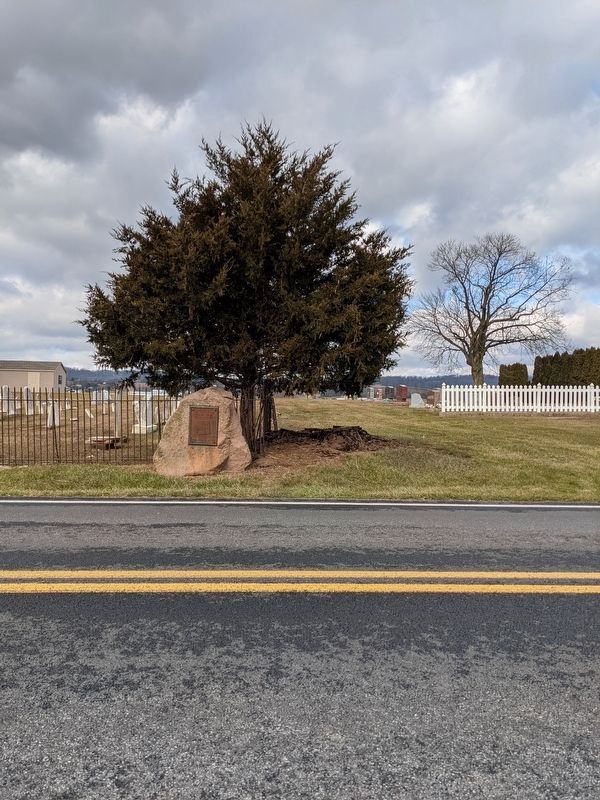
Location. 40° 13.477′ N, 76° 12.215′ W. Marker is near Ephrata, Pennsylvania, in Lancaster County. It is in Clay Township. It is on Indiantown Road (Local Road T855) 0.6 miles east of Weidmansville Road (Local Road T648), on the left when traveling east. Touch for map. Marker is at or near this postal address: 280A Indiantown Rd, Ephrata PA 17522, United States of America. Touch for directions.
Regionally, this marker is in South-Central Pennsylvania, specifically in Pennsylvania Dutch Country, and in the Susquehanna Valley. It is also in the American Northeast and in the Mid-Atlantic. Globally, it is in North America, the Western Hemisphere, the Western World, and the Anglosphere.
this page online
Other nearby markers. At least 8 other markers are within 3 miles of this marker, measured as the crow flies: In Memory of the Pioneer Eberly Family (approx. 1.6 miles away); Schoeneck (approx. 1.7 miles away); a different marker also named Schoeneck (approx. 1.7 miles away); Honor Roll (approx. 1.8 miles away); In Tribute to the Men and Women (approx. 1.8 miles away); a different marker also named Schoeneck (approx. 2 miles away); a different marker also named Schoeneck (approx. 2 miles away); Clay (approx. 2½ miles away).
Credits. This page was last revised on February 7, 2023. It was originally submitted on January 16, 2021, by William Pope of Marietta, Pennsylvania. This page has been viewed 901 times since then and 55 times this year. Photos: 1, 2. submitted on January 16, 2021, by William Pope of Marietta, Pennsylvania. • Devry Becker Jones was the editor who published this page.
