Carpinteria in Santa Barbara County, California — The American West (Pacific Coastal)
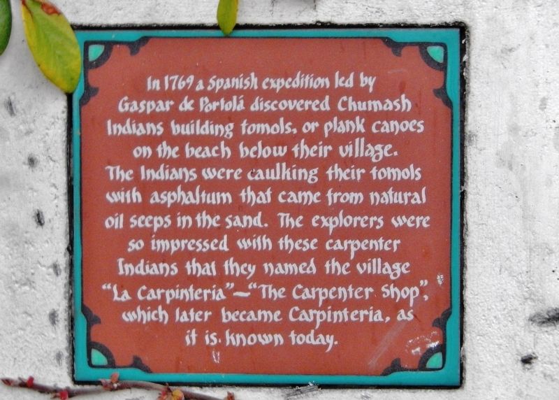
La Carpinteria
Tile Mural
Photographed by Cosmos Mariner, June 14, 2015
1. La Carpinteria Marker
Erected 2005 by RTK Studios.
Topics. This historical marker is listed in these topic lists: Colonial Era • Exploration • Indigenous Peoples and Communities • Waterways & Vessels. A significant historical year for this entry is 1769.
Location. 34° 23.855′ N, 119° 31.187′ W. Marker is in Carpinteria, California, in Santa Barbara County. It is at the intersection of Linden Avenue and 8th Street, on the right when traveling north on Linden Avenue. Marker and tile mural are located beside the sidewalk at the southeast corner of the intersection. Touch for map. Marker is at or near this postal address: 800 Linden Avenue, Carpinteria CA 93013, United States of America. Touch for directions.

Regionally,
this page online
Other nearby markers. At least 8 other markers are within walking distance of this marker: La Viña Grande (within shouting distance of this marker); “World’s Safest Beach” (about 300 feet away, measured in a direct line); a different marker also named La Carpinteria (about 600 feet away); Mills Corner (about 700 feet away); Wardholme Torrey Pine (approx. 0.2 miles away); Carpinteria’s Lima Bean History (approx. 0.3 miles away); Portolá Sycamore (approx. 0.4 miles away); a different marker also named La Carpinteria (approx. 0.6 miles away). Touch for a list and map of all markers in Carpinteria.
Also see . . .
1. Tomol (Wikipedia). The Chumash refer to the tomol as the "House of the Sea" for their reliability. Some sources
Photographed by Cosmos Mariner, June 14, 2015
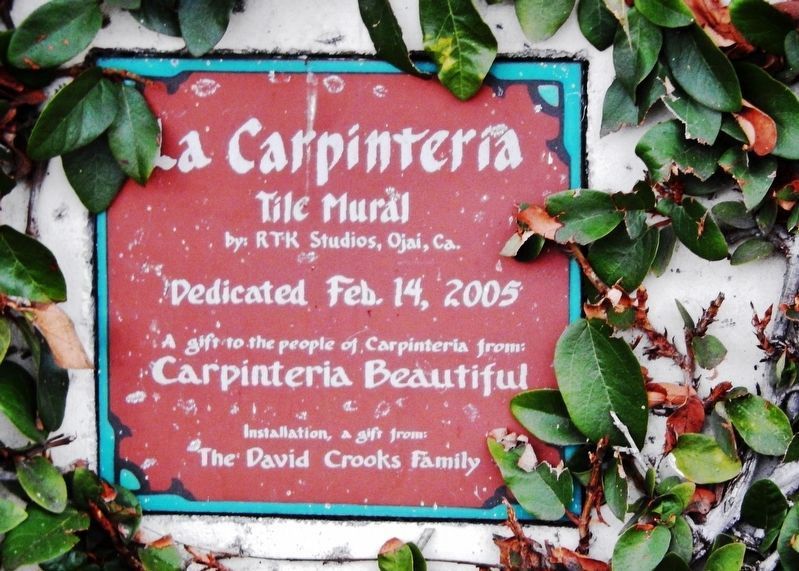
2. La Carpinteria Marker - dedication
La Carpinteria Tile Mural by: RTK Studios, Ojai, Ca. Dedicated Feb. 14, 2005. A gift to the people of Carpinteria from: Carpinteria Beautiful. Installation a gift from: The David Crooks Family
2. Carpinteria, California (Wikipedia). Petroleum seeps are still visible along the beach bluffs at Tar Pits Park on the campground beach of Carpinteria State Beach. The three closest drilling platforms visible from the shore are within the Carpinteria Offshore Oil Field, the 50th-largest field in California. (Submitted on January 25, 2021, by Cosmos Mariner of Cape Canaveral, Florida.)
Photographed by Cosmos Mariner, June 14, 2015
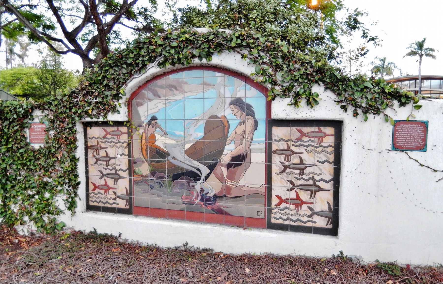
3. La Carpinteria Tile Mural & Marker
Dedication tile on left, marker inscription tile on right.
Credits. This page was last revised on March 6, 2022. It was originally submitted on January 25, 2021, by Cosmos Mariner of Cape Canaveral, Florida. This page has been viewed 816 times since then and 113 times this year. Photos: 1, 2, 3. submitted on January 25, 2021, by Cosmos Mariner of Cape Canaveral, Florida.
